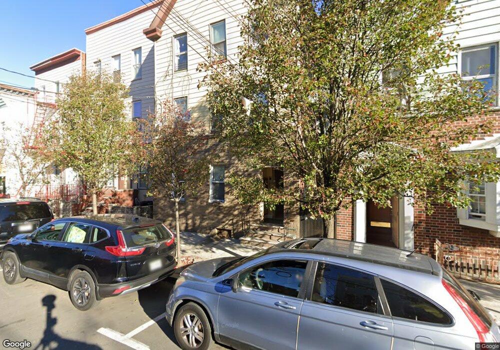
520 21st St Union City, NJ 07087
Estimated Value: $665,000 - $856,000
--
Bed
--
Bath
2,475
Sq Ft
$318/Sq Ft
Est. Value
About This Home
This home is located at 520 21st St, Union City, NJ 07087 and is currently estimated at $786,950, approximately $317 per square foot. 520 21st St is a home located in Hudson County with nearby schools including Robert Waters School, Sara M. Gilmore Academy, and Jose Marti Freshman Academy.
Ownership History
Date
Name
Owned For
Owner Type
Purchase Details
Closed on
Apr 4, 2014
Sold by
Maxo Investment Properties Llc
Bought by
Paneque Properties Llc
Current Estimated Value
Purchase Details
Closed on
Jan 23, 2009
Sold by
Garcia Pablo
Bought by
Maxo Investment Properties Llc
Home Financials for this Owner
Home Financials are based on the most recent Mortgage that was taken out on this home.
Original Mortgage
$250,000
Interest Rate
5.2%
Mortgage Type
Commercial
Purchase Details
Closed on
Nov 10, 2008
Sold by
Demoya Manuel
Bought by
Garcia Pablo
Purchase Details
Closed on
Sep 18, 2001
Sold by
Corzo Pascual and Corzo Blanca
Bought by
Demoya Manuel
Home Financials for this Owner
Home Financials are based on the most recent Mortgage that was taken out on this home.
Original Mortgage
$191,987
Interest Rate
6.98%
Mortgage Type
FHA
Create a Home Valuation Report for This Property
The Home Valuation Report is an in-depth analysis detailing your home's value as well as a comparison with similar homes in the area
Home Values in the Area
Average Home Value in this Area
Purchase History
| Date | Buyer | Sale Price | Title Company |
|---|---|---|---|
| Paneque Properties Llc | $355,000 | None Available | |
| Maxo Investment Properties Llc | -- | -- | |
| Garcia Pablo | $250,000 | -- | |
| Demoya Manuel | $195,000 | -- |
Source: Public Records
Mortgage History
| Date | Status | Borrower | Loan Amount |
|---|---|---|---|
| Previous Owner | Maxo Investment Properties Llc | $250,000 | |
| Previous Owner | Demoya Manuel | $191,987 |
Source: Public Records
Tax History Compared to Growth
Tax History
| Year | Tax Paid | Tax Assessment Tax Assessment Total Assessment is a certain percentage of the fair market value that is determined by local assessors to be the total taxable value of land and additions on the property. | Land | Improvement |
|---|---|---|---|---|
| 2025 | $13,936 | $579,100 | $300,000 | $279,100 |
| 2024 | $11,993 | $754,100 | $300,000 | $454,100 |
| 2023 | $11,993 | $156,000 | $75,000 | $81,000 |
| 2022 | $11,561 | $156,000 | $75,000 | $81,000 |
| 2021 | $11,521 | $156,000 | $75,000 | $81,000 |
| 2020 | $11,390 | $156,000 | $75,000 | $81,000 |
| 2019 | $11,081 | $156,000 | $75,000 | $81,000 |
| 2018 | $10,873 | $156,000 | $75,000 | $81,000 |
| 2017 | $10,770 | $156,000 | $75,000 | $81,000 |
| 2016 | $10,748 | $156,000 | $75,000 | $81,000 |
| 2015 | $10,165 | $156,000 | $75,000 | $81,000 |
| 2014 | $9,939 | $156,000 | $75,000 | $81,000 |
Source: Public Records
Map
Nearby Homes
- 515 21st St
- 514 Monastery Place
- 2107 Bergenline Ave
- 509 Monastery Place
- 622 21st St
- 411 Monastery Place
- 2105 New York Ave
- 2211 New York Ave
- 607 18th St
- 715 22nd St
- 315 22nd St
- 415 24th St
- 1716 Bergenline Ave
- 414 24th St
- 2212 Summit Ave
- 1720 New York Ave Unit 202
- 1720 New York Ave Unit 503
- 710 24th St
- 2407 Central Ave
- 1815 Summit Ave