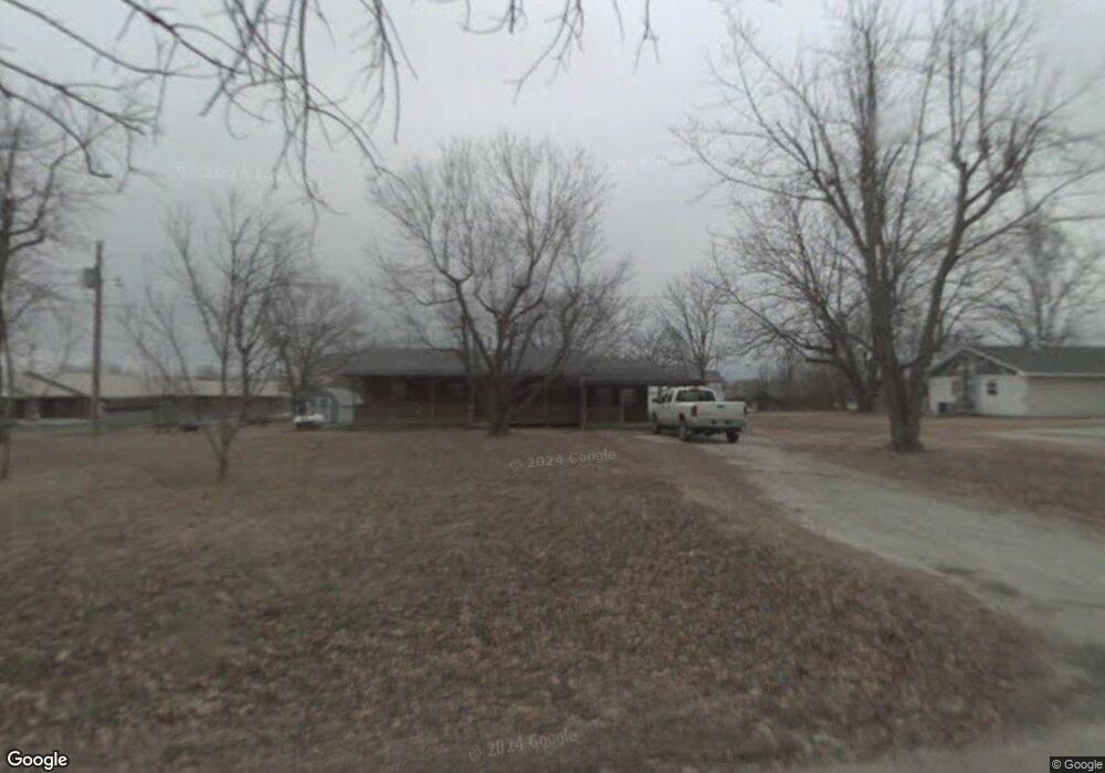
520 2nd St Washburn, MO 65772
Estimated Value: $157,000 - $265,000
2
Beds
1
Bath
1,078
Sq Ft
$186/Sq Ft
Est. Value
About This Home
This home is located at 520 2nd St, Washburn, MO 65772 and is currently estimated at $200,667, approximately $186 per square foot. 520 2nd St is a home with nearby schools including Eunice Thomas Elementary School, Cassville Intermediate School, and Cassville Middle School.
Ownership History
Date
Name
Owned For
Owner Type
Purchase Details
Closed on
Feb 5, 2024
Sold by
Shepherd Lee and Shepherd Christine
Bought by
Smith-Vigil Diana
Current Estimated Value
Purchase Details
Closed on
May 24, 2018
Sold by
Duparri William A and Duparri Leigh Ann
Bought by
Shepherd Lee and Shepherd Christine
Home Financials for this Owner
Home Financials are based on the most recent Mortgage that was taken out on this home.
Original Mortgage
$46,750
Interest Rate
4.4%
Mortgage Type
Future Advance Clause Open End Mortgage
Create a Home Valuation Report for This Property
The Home Valuation Report is an in-depth analysis detailing your home's value as well as a comparison with similar homes in the area
Home Values in the Area
Average Home Value in this Area
Purchase History
| Date | Buyer | Sale Price | Title Company |
|---|---|---|---|
| Smith-Vigil Diana | -- | Meridian Title | |
| Shepherd Lee | -- | Barry County Abstract & Titl |
Source: Public Records
Mortgage History
| Date | Status | Borrower | Loan Amount |
|---|---|---|---|
| Previous Owner | Shepherd Lee | $46,750 |
Source: Public Records
Tax History
| Year | Tax Paid | Tax Assessment Tax Assessment Total Assessment is a certain percentage of the fair market value that is determined by local assessors to be the total taxable value of land and additions on the property. | Land | Improvement |
|---|---|---|---|---|
| 2025 | $1,823 | $7,714 | $1,216 | $6,498 |
| 2024 | $3 | $7,125 | $1,216 | $5,909 |
| 2023 | $325 | $7,125 | $1,216 | $5,909 |
| 2022 | $313 | $6,859 | $950 | $5,909 |
| 2020 | $314 | $6,859 | $950 | $5,909 |
| 2018 | $307 | $6,859 | $950 | $5,909 |
| 2017 | $306 | $6,840 | $950 | $5,890 |
| 2016 | $299 | $6,612 | $817 | $5,795 |
| 2015 | -- | $6,612 | $817 | $5,795 |
| 2014 | -- | $6,574 | $817 | $5,757 |
| 2012 | -- | $0 | $0 | $0 |
Source: Public Records
Map
Nearby Homes
- 304 W 14th St
- 1000 Gravel St
- 1102 Sapp St
- 1015 Harold St
- 000 Luney Dr
- 000 Townsend West 9th
- 301 Blackberry Ct Unit Lot 18
- 303 Melton Way
- 740 E 13th St
- 106 Mountain St
- 112 Amber St
- 106 Rosedale St
- 803 Hickory St
- 1000 Hickory St
- 1107 Lake Road Dr
- 1302 Oak St
- 75 Sycamore Dr
- 1407 Nottingham Dr Unit Lot 87a
- 1408 Nottingham Dr
- 109 Billy Dr
- 1225 Townsend St
- 0 Forest and 13th St Unit 529967
- 103 W 13th St
- 11th & Townsend St
- 1301 Townsend St
- 22312 Private Road 1120
- 1305 Townsend St
- 1206 Main St
- 1300 Townsend St
- 12546 State Highway 76
- 23016 Farm Road 1065
- 1200 Main St
- 201 W 13th St
- 202 W 13th St
- 1304 Main St
- 303 W 14th St
- 102 W 14th St
- 203 W 13th St
- 1400 Townsend St
- 1306 Main St
Your Personal Tour Guide
Ask me questions while you tour the home.