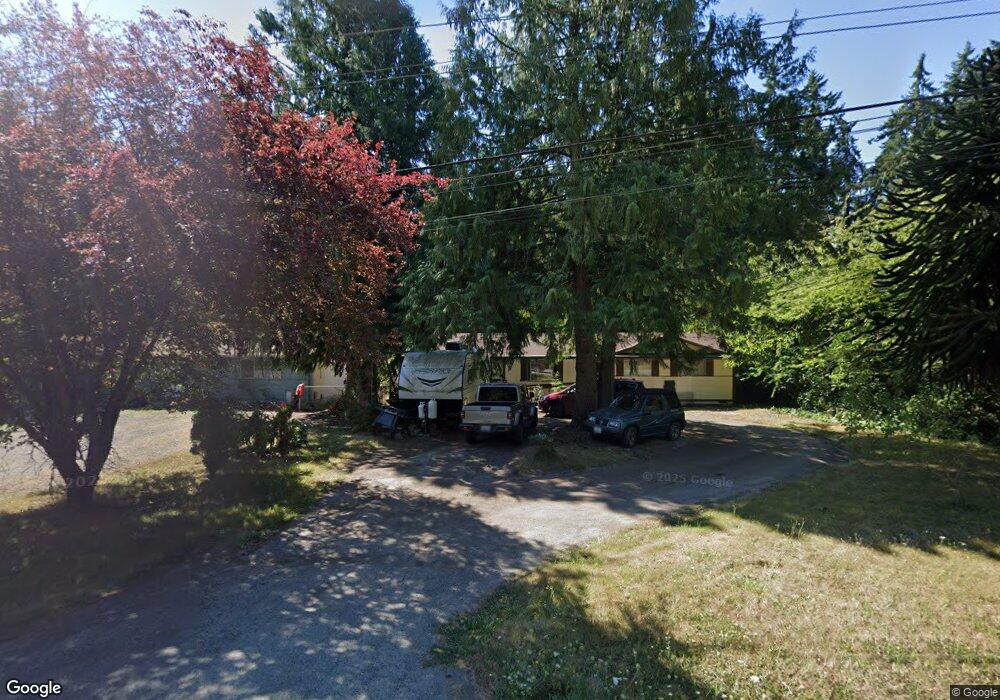
520 4 Corners Rd Port Townsend, WA 98368
Port Hadlock-Irondale NeighborhoodEstimated Value: $566,983 - $672,000
3
Beds
1
Bath
1,889
Sq Ft
$325/Sq Ft
Est. Value
About This Home
This home is located at 520 4 Corners Rd, Port Townsend, WA 98368 and is currently estimated at $613,994, approximately $325 per square foot. 520 4 Corners Rd is a home located in Jefferson County with nearby schools including Salish Coast Elementary School, Blue Heron Middle School, and Port Townsend High School.
Ownership History
Date
Name
Owned For
Owner Type
Purchase Details
Closed on
Feb 27, 2024
Sold by
Wilson Donald
Bought by
Donald L Wilson Revocable Trust and Wilson
Current Estimated Value
Purchase Details
Closed on
Apr 8, 2009
Sold by
Wilson Donald and Wilson Holly L
Bought by
Wilson Donald
Home Financials for this Owner
Home Financials are based on the most recent Mortgage that was taken out on this home.
Original Mortgage
$73,000
Interest Rate
5.02%
Mortgage Type
New Conventional
Create a Home Valuation Report for This Property
The Home Valuation Report is an in-depth analysis detailing your home's value as well as a comparison with similar homes in the area
Home Values in the Area
Average Home Value in this Area
Purchase History
| Date | Buyer | Sale Price | Title Company |
|---|---|---|---|
| Donald L Wilson Revocable Trust | $313 | None Listed On Document | |
| Wilson Donald | -- | None Available |
Source: Public Records
Mortgage History
| Date | Status | Borrower | Loan Amount |
|---|---|---|---|
| Previous Owner | Wilson Donald | $73,000 |
Source: Public Records
Tax History Compared to Growth
Tax History
| Year | Tax Paid | Tax Assessment Tax Assessment Total Assessment is a certain percentage of the fair market value that is determined by local assessors to be the total taxable value of land and additions on the property. | Land | Improvement |
|---|---|---|---|---|
| 2024 | $2,640 | $332,798 | $140,980 | $191,818 |
| 2023 | $2,640 | $324,938 | $133,120 | $191,818 |
| 2022 | $2,107 | $267,826 | $98,170 | $169,656 |
| 2021 | $2,059 | $228,930 | $87,550 | $141,380 |
| 2020 | $1,303 | $210,845 | $79,937 | $130,908 |
| 2019 | $1,310 | $191,329 | $76,130 | $115,199 |
| 2018 | $1,369 | $186,092 | $76,130 | $109,962 |
| 2017 | $1,421 | $180,856 | $76,130 | $104,726 |
| 2016 | $1,416 | $178,543 | $75,706 | $102,837 |
| 2015 | $1,772 | $178,543 | $75,706 | $102,837 |
| 2014 | -- | $169,194 | $75,706 | $93,488 |
| 2013 | -- | $169,195 | $75,705 | $93,490 |
Source: Public Records
Map
Nearby Homes
- 6062 State Route 20 Unit 27
- 6062 State Route 20 Unit 55
- 6062 State Route 20 Unit 35
- 6192 State Route 20
- 9999 S Discovery Rd
- 0 Prospect Ave
- 0 Prospect Ave Unit NWM2410763
- 1291 Woodland Dr
- 0 Woodland Dr
- 593 Prospect Ave
- 12 Loretta Ln
- 1673 Woodland Dr
- 13 Loretta Ln
- 63 W Moore St
- 783 Prospect Ave
- 56 Bayview Ln
- 52 E Moore St
- 121 S 7th Ave
- 32 S Duquesne Ave
- 0 S Duquesne Ave
- 570 4 Corners Rd
- 530 4 Corners Rd
- 570 Four Corners Rd
- 456 Four Corners Rd
- 456 Four Corners Rd
- 454 4 Corners Rd
- 420 Four Corners Rd
- 0 Four Corners Rd Unit 1241881
- 633 Four Corners Rd
- 431 Four Corners Rd
- 731 Four Corners Rd
- 321 4 Corners Rd
- 276 Night Owl Rd
- 811 4 Corners Rd
- 301 Four Corners Rd
- 301 4 Corners Rd
- 270 4 Corners Rd