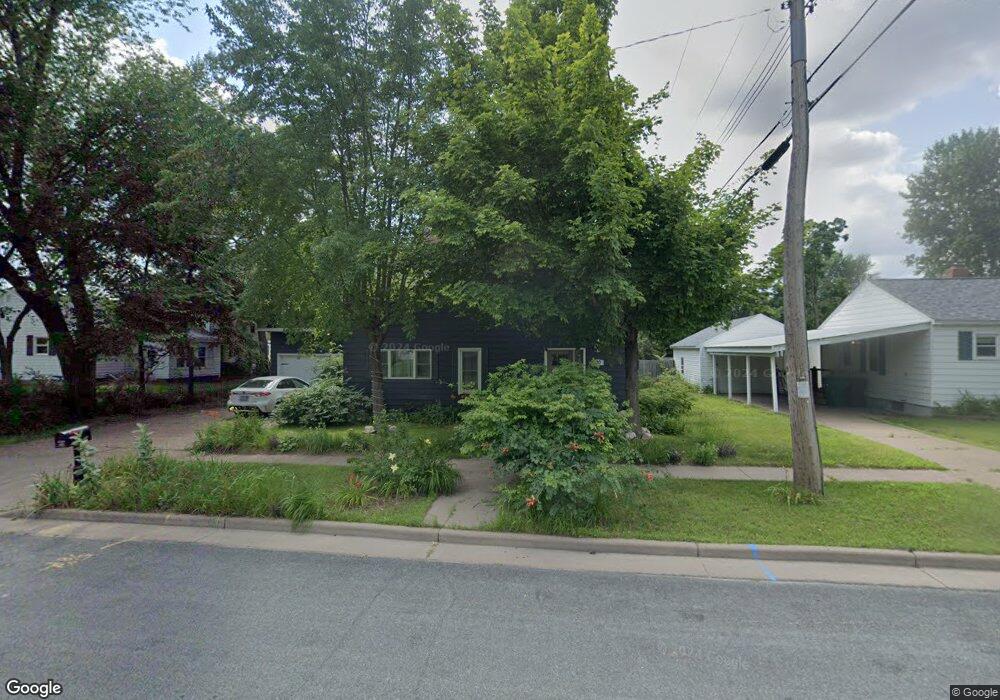
520 6th St W Altoona, WI 54720
Estimated Value: $215,000 - $282,000
4
Beds
3
Baths
1,837
Sq Ft
$132/Sq Ft
Est. Value
About This Home
This home is located at 520 6th St W, Altoona, WI 54720 and is currently estimated at $242,590, approximately $132 per square foot. 520 6th St W is a home located in Eau Claire County with nearby schools including Altoona Elementary School, Altoona Middle and Intermediate School, and Altoona High School.
Ownership History
Date
Name
Owned For
Owner Type
Purchase Details
Closed on
Sep 1, 2006
Sold by
Schinderle John J and Schinderle Ann B
Bought by
Harris John R and Harris Evelyn R
Current Estimated Value
Home Financials for this Owner
Home Financials are based on the most recent Mortgage that was taken out on this home.
Original Mortgage
$134,900
Outstanding Balance
$81,453
Interest Rate
6.77%
Mortgage Type
New Conventional
Estimated Equity
$161,137
Create a Home Valuation Report for This Property
The Home Valuation Report is an in-depth analysis detailing your home's value as well as a comparison with similar homes in the area
Home Values in the Area
Average Home Value in this Area
Purchase History
| Date | Buyer | Sale Price | Title Company |
|---|---|---|---|
| Harris John R | $134,900 | None Available |
Source: Public Records
Mortgage History
| Date | Status | Borrower | Loan Amount |
|---|---|---|---|
| Open | Harris John R | $134,900 |
Source: Public Records
Tax History Compared to Growth
Tax History
| Year | Tax Paid | Tax Assessment Tax Assessment Total Assessment is a certain percentage of the fair market value that is determined by local assessors to be the total taxable value of land and additions on the property. | Land | Improvement |
|---|---|---|---|---|
| 2024 | $4,142 | $209,000 | $26,600 | $182,400 |
| 2023 | $4,349 | $195,200 | $26,600 | $168,600 |
| 2022 | $4,153 | $195,200 | $26,600 | $168,600 |
| 2021 | $3,856 | $148,900 | $22,200 | $126,700 |
| 2020 | $3,760 | $148,900 | $22,200 | $126,700 |
| 2019 | $3,831 | $148,900 | $22,200 | $126,700 |
| 2018 | $3,799 | $126,500 | $17,200 | $109,300 |
| 2017 | $3,848 | $126,500 | $17,200 | $109,300 |
| 2016 | $3,918 | $126,500 | $17,200 | $109,300 |
| 2014 | -- | $126,500 | $17,200 | $109,300 |
| 2013 | -- | $126,500 | $17,200 | $109,300 |
Source: Public Records
Map
Nearby Homes
- 1804 Bartlett Ave
- 928 Thompson Dr
- 1650 Kyler St
- 0 Roberts St
- 2505 Avery Ln
- 1412 Devney Dr
- 457 Autumn Dr
- 2037 Saint Andrews Dr
- 1923 Saint Andrews Dr
- 1364 Cypress Ct
- 2364 St Andrews Dr
- 911 Radcliffe Ave
- 312 Brookshire Ct
- 904 Timber View Dr
- 1410 Pebble Beach Dr Unit Lot 161
- Lot 179 Pebble Beach Dr
- 1285 Saint Andrews Dr Unit Lot 147
- 1372 Pebble Beach Dr Unit Lot 163
- 907 Sandalwood Dr
- 1103 Mulberry Dr
- 512 6th St W
- 2012 Bartlett Ave
- 504 6th St W
- 519 7th St W
- 511 7th St W
- 2028 Bartlett Ave
- 2027 Garfield Ave
- 519 6th St W
- 527 6th St W
- 2004 Garfield Ave
- 1919 Garfield Ave
- 1928 Garfield Ave
- 2028 Garfield Ave
- 1920 Garfield Ave
- 2108 Bartlett Ave
- 520 5th St W
- 528 5th St W
- 2103 Bartlett Ave
- 1911 Garfield Ave
- 1912 Garfield Ave