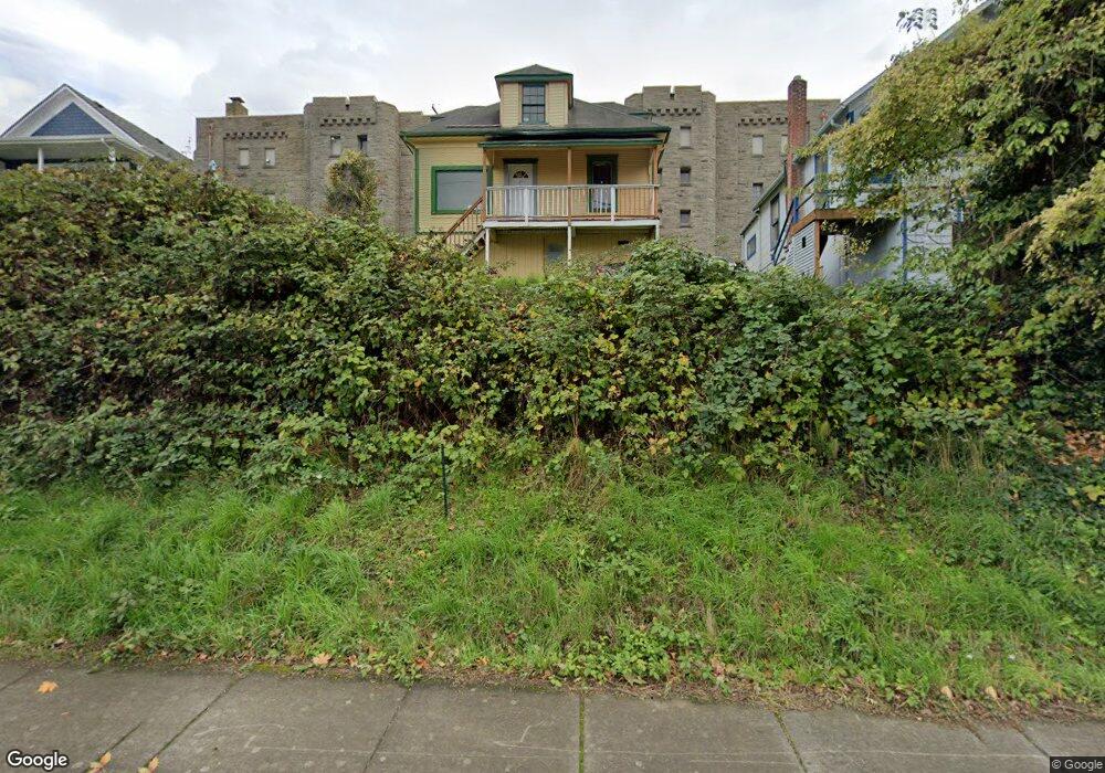
520 Boulevard Unit 520 Upper Bellingham, WA 98225
Sehome NeighborhoodEstimated Value: $714,000 - $884,000
2
Beds
1
Bath
1,438
Sq Ft
$556/Sq Ft
Est. Value
About This Home
This home is located at 520 Boulevard Unit 520 Upper, Bellingham, WA 98225 and is currently estimated at $799,726, approximately $556 per square foot. 520 Boulevard Unit 520 Upper is a home located in Whatcom County with nearby schools including Lowell Elementary School, Fairhaven Middle School, and Sehome High School.
Ownership History
Date
Name
Owned For
Owner Type
Purchase Details
Closed on
Jun 30, 2021
Sold by
Oceanside Properties Llc
Bought by
Brady Kevin and Brady Tsz Yan
Current Estimated Value
Home Financials for this Owner
Home Financials are based on the most recent Mortgage that was taken out on this home.
Original Mortgage
$399,000
Outstanding Balance
$360,457
Interest Rate
2.9%
Mortgage Type
New Conventional
Estimated Equity
$439,269
Purchase Details
Closed on
Dec 4, 2014
Sold by
Lyon Robert D and Lyon Winnie
Bought by
Oceanside Propeties Llc
Purchase Details
Closed on
Jul 27, 2007
Sold by
Kennard Michael S and Kennard Betty Stock
Bought by
Lyon Robert D and Lyon Winnie
Home Financials for this Owner
Home Financials are based on the most recent Mortgage that was taken out on this home.
Original Mortgage
$320,000
Interest Rate
6.75%
Mortgage Type
Purchase Money Mortgage
Create a Home Valuation Report for This Property
The Home Valuation Report is an in-depth analysis detailing your home's value as well as a comparison with similar homes in the area
Home Values in the Area
Average Home Value in this Area
Purchase History
| Date | Buyer | Sale Price | Title Company |
|---|---|---|---|
| Brady Kevin | $570,000 | Chicago Title Company Of Wa | |
| Oceanside Propeties Llc | -- | None Available | |
| Lyon Robert D | $400,280 | Chicago Title Insurance |
Source: Public Records
Mortgage History
| Date | Status | Borrower | Loan Amount |
|---|---|---|---|
| Open | Brady Kevin | $399,000 | |
| Previous Owner | Lyon Robert D | $320,000 |
Source: Public Records
Tax History Compared to Growth
Tax History
| Year | Tax Paid | Tax Assessment Tax Assessment Total Assessment is a certain percentage of the fair market value that is determined by local assessors to be the total taxable value of land and additions on the property. | Land | Improvement |
|---|---|---|---|---|
| 2024 | $7,164 | $889,005 | $591,290 | $297,715 |
| 2023 | $7,164 | $920,789 | $612,430 | $308,359 |
| 2022 | $5,870 | $783,654 | $521,220 | $262,434 |
| 2021 | $5,456 | $631,996 | $420,350 | $211,646 |
| 2020 | $5,358 | $554,378 | $368,725 | $185,653 |
| 2019 | $4,537 | $526,225 | $350,000 | $176,225 |
| 2018 | $4,710 | $446,733 | $296,205 | $150,528 |
| 2017 | $4,149 | $396,536 | $262,920 | $133,616 |
| 2016 | $3,779 | $365,032 | $241,920 | $123,112 |
| 2015 | -- | $346,129 | $229,320 | $116,809 |
| 2014 | -- | $329,642 | $218,400 | $111,242 |
| 2013 | -- | $315,044 | $210,000 | $105,044 |
Source: Public Records
Map
Nearby Homes
- 0 Pine St Unit NWM2445229
- 414 Boulevard Unit 105
- 415 N State St
- 310 E Ivy St
- 901 N Forest St Unit 107
- 901 N Forest St Unit 125
- 901 N Forest St Unit 109
- 819 High St Unit 317
- 616 E Myrtle St
- 1001 N State St Unit 403
- 615 E Myrtle St
- 1015 Railroad Ave Unit 418
- 1031 N State St Unit 107
- 1031 N State St Unit 209
- 106 N State St Unit 106
- 201 S State St Unit B
- 201 S State St Unit A
- 216 Morey Ave
- 1126 N Forest St
- 1025 Granary Ave Unit 503
- 520 Boulevard Unit Lower
- 520 Boulevard
- 518 Boulevard
- 526 Boulevard
- 516 Boulevard
- 200 Pine St
- 510 Boulevard
- 508 Boulevard
- 506 Boulevard
- 601 N State St Unit 101
- 601 N State St Unit 201
- 601 N State St
- 520 N State St
- 528 N State St
- 516 N State St
- 615 N State St
- 510 N State St
- 504 N State St
- 306 Pine St
- 306 Pine St Unit 202