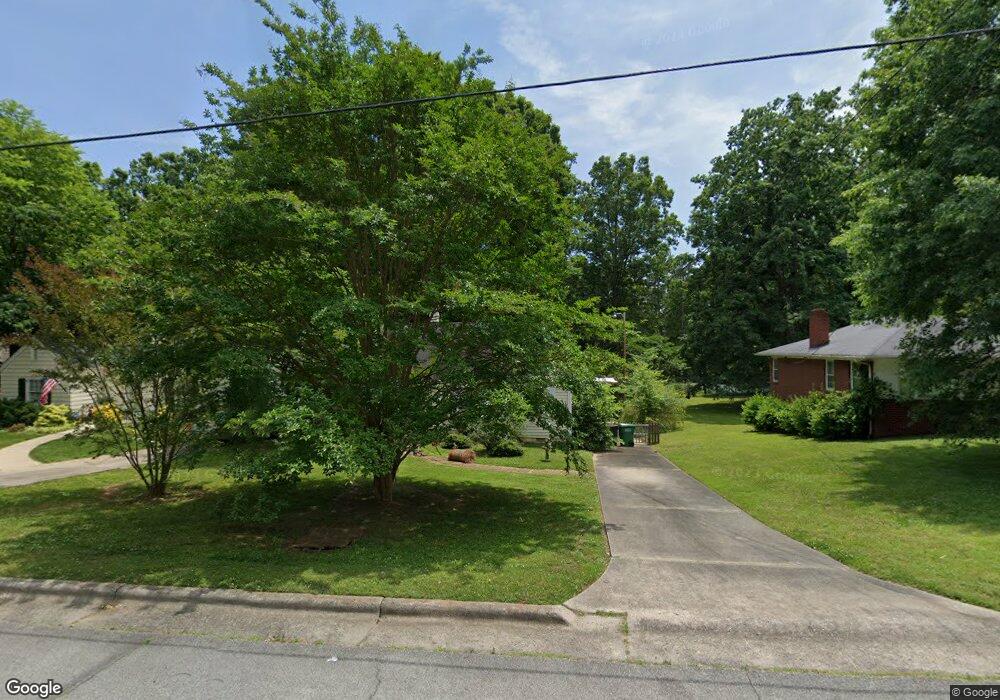
520 E Farriss Ave High Point, NC 27262
Greater High Point NeighborhoodEstimated Value: $99,000 - $157,000
2
Beds
1
Bath
992
Sq Ft
$139/Sq Ft
Est. Value
About This Home
This home is located at 520 E Farriss Ave, High Point, NC 27262 and is currently estimated at $137,953, approximately $139 per square foot. 520 E Farriss Ave is a home located in Guilford County with nearby schools including Kirkman Park Elementary School, Penn-Griffin School for the Arts, and T.W. Andrews High School.
Ownership History
Date
Name
Owned For
Owner Type
Purchase Details
Closed on
Jul 20, 2021
Sold by
Martin Judy C
Bought by
Stephenson Christopher Lynn
Current Estimated Value
Purchase Details
Closed on
Mar 26, 2009
Sold by
Secretary Of Housing & Urban Development
Bought by
Martin Judy C
Purchase Details
Closed on
Jan 22, 2008
Sold by
Pendry Polly H
Bought by
Hud
Create a Home Valuation Report for This Property
The Home Valuation Report is an in-depth analysis detailing your home's value as well as a comparison with similar homes in the area
Home Values in the Area
Average Home Value in this Area
Purchase History
| Date | Buyer | Sale Price | Title Company |
|---|---|---|---|
| Stephenson Christopher Lynn | -- | None Available | |
| Martin Judy C | -- | None Available | |
| Hud | -- | None Available |
Source: Public Records
Tax History
| Year | Tax Paid | Tax Assessment Tax Assessment Total Assessment is a certain percentage of the fair market value that is determined by local assessors to be the total taxable value of land and additions on the property. | Land | Improvement |
|---|---|---|---|---|
| 2025 | $657 | $95,400 | $30,000 | $65,400 |
| 2024 | $657 | $95,400 | $30,000 | $65,400 |
| 2023 | $657 | $95,400 | $30,000 | $65,400 |
| 2022 | $1,286 | $95,400 | $30,000 | $65,400 |
| 2021 | $507 | $73,600 | $22,000 | $51,600 |
| 2020 | $507 | $73,600 | $22,000 | $51,600 |
| 2019 | $507 | $73,600 | $0 | $0 |
| 2018 | $505 | $73,600 | $0 | $0 |
| 2017 | $505 | $73,600 | $0 | $0 |
| 2016 | $519 | $74,000 | $0 | $0 |
| 2015 | $522 | $74,000 | $0 | $0 |
| 2014 | $531 | $74,000 | $0 | $0 |
Source: Public Records
Map
Nearby Homes
- 721 Forrest St
- 719 Forrest St
- 304 Louise Ave
- 509 Woodrow Ave
- 910 E Dayton Ave
- 1108 Forrest St
- 1110 Forrest St
- 1428 Futrelle Dr
- 1433 Larkin St
- 1518 Johnson St
- 207 Hillcrest Dr
- 1507 Larkin St
- 1602 Larkin St
- 613 Woodridge Ln
- 905 Mint Ave
- 837 Willow Place
- 844 Willow Place
- 610 Colonial Dr
- 1129 Bridges Dr
- 300 Edgedale Dr
- 522 E Farriss Ave
- 518 E Farriss Ave
- 524 E Farriss Ave
- 514 E Farriss Ave
- 526 E Farriss Ave
- 521 E Farriss Ave
- 519 E Farriss Ave
- 512 E Farriss Ave
- 528 E Farriss Ave
- 517 E Farriss Ave
- 523 E Farriss Ave
- 525 E Farriss Ave
- 515 E Farriss Ave
- 506 E Farriss Ave
- 530 E Farriss Ave
- 527 E Farriss Ave
- 1011 Salem St
- 511 E Farriss Ave
- 1008 Salem St
- 900 Blain St
Your Personal Tour Guide
Ask me questions while you tour the home.
