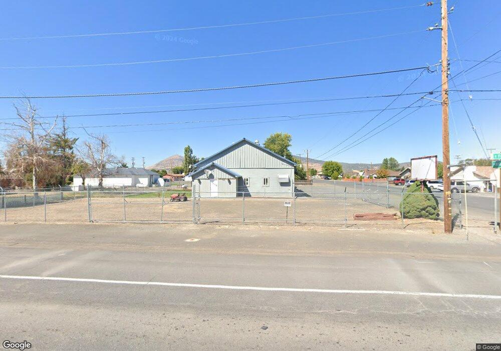
520 E Front St Merrill, OR 97633
Estimated Value: $308,035
Studio
1
Bath
4,330
Sq Ft
$71/Sq Ft
Est. Value
About This Home
This home is located at 520 E Front St, Merrill, OR 97633 and is currently estimated at $308,035, approximately $71 per square foot. 520 E Front St is a home located in Klamath County with nearby schools including Merrill Elementary School and Lost River High School.
Ownership History
Date
Name
Owned For
Owner Type
Purchase Details
Closed on
Jul 24, 2024
Sold by
Case Charles Vincent
Bought by
Chavez Edward
Current Estimated Value
Purchase Details
Closed on
Jul 13, 2016
Sold by
Gross Kevin F and Gross Tamara L
Bought by
Case Charles
Home Financials for this Owner
Home Financials are based on the most recent Mortgage that was taken out on this home.
Original Mortgage
$93,000
Interest Rate
3.66%
Mortgage Type
Seller Take Back
Create a Home Valuation Report for This Property
The Home Valuation Report is an in-depth analysis detailing your home's value as well as a comparison with similar homes in the area
Purchase History
| Date | Buyer | Sale Price | Title Company |
|---|---|---|---|
| Chavez Edward | $300,000 | Amerititle | |
| Case Charles | $108,000 | Amerititle |
Source: Public Records
Mortgage History
| Date | Status | Borrower | Loan Amount |
|---|---|---|---|
| Previous Owner | Case Charles | $93,000 |
Source: Public Records
Tax History
| Year | Tax Paid | Tax Assessment Tax Assessment Total Assessment is a certain percentage of the fair market value that is determined by local assessors to be the total taxable value of land and additions on the property. | Land | Improvement |
|---|---|---|---|---|
| 2025 | $1,786 | $141,430 | -- | -- |
| 2024 | $1,738 | $137,320 | -- | -- |
| 2023 | $1,740 | $137,320 | $0 | $0 |
| 2022 | $1,693 | $129,450 | $0 | $0 |
| 2021 | $1,639 | $125,681 | $0 | $0 |
| 2020 | $1,589 | $122,020 | $0 | $0 |
| 2019 | $1,546 | $118,470 | $0 | $0 |
| 2018 | $1,486 | $118,470 | $0 | $0 |
| 2017 | $1,447 | $115,020 | $0 | $0 |
| 2016 | $1,139 | $111,670 | $0 | $0 |
| 2015 | $1,425 | $108,420 | $0 | $0 |
| 2014 | $1,367 | $105,270 | $0 | $0 |
| 2013 | -- | $102,210 | $0 | $0 |
Source: Public Records
Map
Nearby Homes
- 235 N Roosevelt St
- 330 N Elm St
- 332 N Madison St
- 0 Oregon 39 Unit 4110-00200-01100
- 0 Oregon 39 Unit 220168688
- 425 W 1st St
- 18610 Taylor Rd
- 0 Dodds Hollow Rd Unit 895073 220200218
- Unnamed Rd
- 22994 Highway 50
- 10403 Matney Way
- 9452 Matney Way
- 4650 Lower Klamath Lake Rd
- 7992 Elliott Rd
- 17465 Harpold Rd
- 186 Siskiyou St
- 21173 Harpold Rd
- 563 4th St
- 20954 S Poe Valley Rd
- 0 Drazil Rd
- 533 E 1st St
- 0 Elm St Unit 220127305
- 610 E Front St
- 607 E 1st St
- 511 E Front St
- 509 E Front St
- 518 E 1st St
- 528 E 1st St
- 518 E 1st St
- 617 E Front St
- 530 E Front St
- 130 Roosevelt St
- 412 E Front St
- 608 E 1st St
- 215 N Mckinley St
- 132 N Lincoln St
- 425 E Front St
- 513 E Front St
- 222 N Mckinley St
- 505 E Front St
Your Personal Tour Guide
Ask me questions while you tour the home.