520 Foxtrail Cir E Westerville, OH 43081
Estimated Value: $206,000 - $223,000
2
Beds
2
Baths
930
Sq Ft
$230/Sq Ft
Est. Value
About This Home
This home is located at 520 Foxtrail Cir E, Westerville, OH 43081 and is currently estimated at $214,205, approximately $230 per square foot. 520 Foxtrail Cir E is a home located in Franklin County with nearby schools including Whittier Elementary School, Blendon Middle School, and Westerville South High School.
Ownership History
Date
Name
Owned For
Owner Type
Purchase Details
Closed on
Apr 24, 2025
Sold by
Maclaughlin Elissa
Bought by
Maclaughlin Elissa
Current Estimated Value
Purchase Details
Closed on
Dec 17, 2021
Sold by
Holmes Paul
Bought by
Maclaughlin Elissa
Purchase Details
Closed on
Apr 16, 2007
Sold by
The Ted & Robert Lp
Bought by
Kellar Jacqueline D
Home Financials for this Owner
Home Financials are based on the most recent Mortgage that was taken out on this home.
Original Mortgage
$130,000
Interest Rate
6.2%
Mortgage Type
Seller Take Back
Purchase Details
Closed on
Mar 29, 2007
Sold by
Sanchez Anne K
Bought by
Holmes Paul
Home Financials for this Owner
Home Financials are based on the most recent Mortgage that was taken out on this home.
Original Mortgage
$130,000
Interest Rate
6.2%
Mortgage Type
Seller Take Back
Purchase Details
Closed on
Mar 23, 1999
Sold by
Meissner Robert P and Meissner Robert P
Bought by
Sanchez Anne K
Home Financials for this Owner
Home Financials are based on the most recent Mortgage that was taken out on this home.
Original Mortgage
$62,750
Interest Rate
6.89%
Mortgage Type
FHA
Purchase Details
Closed on
May 2, 1996
Sold by
Johnson Linda L
Bought by
Meissner Robert P Meissner
Home Financials for this Owner
Home Financials are based on the most recent Mortgage that was taken out on this home.
Original Mortgage
$46,800
Interest Rate
8.75%
Mortgage Type
New Conventional
Purchase Details
Closed on
Dec 14, 1992
Purchase Details
Closed on
Aug 25, 1988
Create a Home Valuation Report for This Property
The Home Valuation Report is an in-depth analysis detailing your home's value as well as a comparison with similar homes in the area
Home Values in the Area
Average Home Value in this Area
Purchase History
| Date | Buyer | Sale Price | Title Company |
|---|---|---|---|
| Maclaughlin Elissa | -- | None Listed On Document | |
| Maclaughlin Elissa | $160,000 | Northwest Select Ttl Agcy Ll | |
| Kellar Jacqueline D | $135,000 | None Available | |
| Holmes Paul | $87,000 | Crown Searc | |
| Sanchez Anne K | $64,200 | Lawyers Title | |
| Meissner Robert P Meissner | $58,500 | -- | |
| -- | $54,500 | -- | |
| -- | -- | -- |
Source: Public Records
Mortgage History
| Date | Status | Borrower | Loan Amount |
|---|---|---|---|
| Previous Owner | Kellar Jacqueline D | $130,000 | |
| Previous Owner | Holmes Paul | $87,000 | |
| Previous Owner | Sanchez Anne K | $62,750 | |
| Previous Owner | Meissner Robert P Meissner | $46,800 |
Source: Public Records
Tax History Compared to Growth
Tax History
| Year | Tax Paid | Tax Assessment Tax Assessment Total Assessment is a certain percentage of the fair market value that is determined by local assessors to be the total taxable value of land and additions on the property. | Land | Improvement |
|---|---|---|---|---|
| 2024 | $3,249 | $57,160 | $11,550 | $45,610 |
| 2023 | $3,180 | $57,155 | $11,550 | $45,605 |
| 2022 | $2,713 | $37,240 | $5,250 | $31,990 |
| 2021 | $2,736 | $37,240 | $5,250 | $31,990 |
| 2020 | $2,728 | $37,240 | $5,250 | $31,990 |
| 2019 | $2,410 | $31,050 | $4,380 | $26,670 |
| 2018 | $2,267 | $31,050 | $4,380 | $26,670 |
| 2017 | $2,306 | $31,050 | $4,380 | $26,670 |
| 2016 | $2,243 | $26,750 | $4,030 | $22,720 |
| 2015 | $2,172 | $26,750 | $4,030 | $22,720 |
| 2014 | $2,174 | $26,750 | $4,030 | $22,720 |
| 2013 | $1,206 | $29,715 | $4,480 | $25,235 |
Source: Public Records
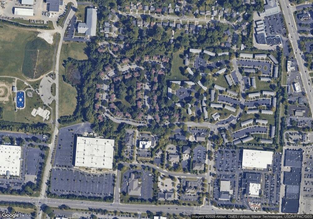
Map
Nearby Homes
- 502 Foxtrail Cir E Unit 502
- 206 Charring Cross Dr S Unit 2206
- 470 S State St
- 466 S State St
- 476 S State St
- 465 W Schrock Rd
- 25 King Arthur Blvd
- 559 Allview Ct
- 66 Daleview Dr
- 79 W Park St
- 0 Cooper Rd
- 0 Cherrington Rd Unit 225023909
- 53 W College Ave
- 360 Potawatomi Dr
- 199 E College Ave
- 417 E Park St
- 693 Pointview Dr
- 106 E Ticonderoga Dr
- 106 E Ticonderoga Dr Unit A
- 2659 Christine Blvd Unit D
- 522 Foxtrail Cir E Unit 522
- 522 Foxtrail Cir E Unit 4-522
- 518 Foxtrail Cir E Unit 4518
- 516 Foxtrail Cir E Unit 516
- 516 Foxtrail Cir E Unit 4-516
- 216 Charring Cross Dr S Unit 216
- 512 Foxtrail Cir E Unit 5512
- 214 Charring Cross Dr S
- 214 Charring Cross Dr S Unit 3
- 214 Charring Cross Dr S Unit 3-214
- 510 Foxtrail Cir E
- 212 Charring Cross Dr S Unit 3212
- 210 Charring Cross Dr S Unit 3210
- 210 Charring Cross Dr S Unit 3-21
- 508 Foxtrail Cir E Unit 508
- 508 Foxtrail Cir E Unit 5-508
- 506 Foxtrail Cir E
- 506 Foxtrail Cir E Unit 5-506
- 204 Charring Cross Dr S Unit 204
- 202 Charring Cross Dr S Unit 202