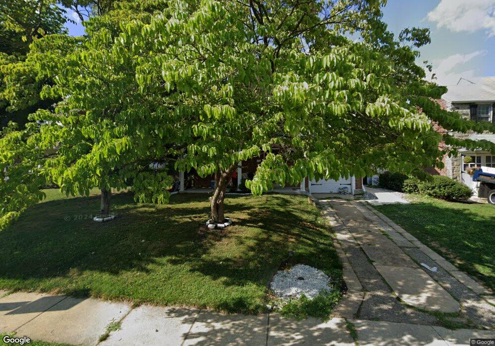
520 Holmes Rd Morton, PA 19070
Estimated Value: $361,723 - $402,000
3
Beds
2
Baths
1,542
Sq Ft
$250/Sq Ft
Est. Value
About This Home
This home is located at 520 Holmes Rd, Morton, PA 19070 and is currently estimated at $385,931, approximately $250 per square foot. 520 Holmes Rd is a home located in Delaware County with nearby schools including Amosland El School, Ridley Middle School, and Ridley High School.
Ownership History
Date
Name
Owned For
Owner Type
Purchase Details
Closed on
Aug 31, 2009
Sold by
Dorazio Carlo J and Dorazio Louise
Bought by
Fishman Jeremy D and Fishman Alicia M
Current Estimated Value
Home Financials for this Owner
Home Financials are based on the most recent Mortgage that was taken out on this home.
Original Mortgage
$230,743
Outstanding Balance
$150,752
Interest Rate
5.17%
Mortgage Type
FHA
Estimated Equity
$235,179
Create a Home Valuation Report for This Property
The Home Valuation Report is an in-depth analysis detailing your home's value as well as a comparison with similar homes in the area
Home Values in the Area
Average Home Value in this Area
Purchase History
| Date | Buyer | Sale Price | Title Company |
|---|---|---|---|
| Fishman Jeremy D | $235,000 | None Available |
Source: Public Records
Mortgage History
| Date | Status | Borrower | Loan Amount |
|---|---|---|---|
| Open | Fishman Jeremy D | $230,743 |
Source: Public Records
Tax History Compared to Growth
Tax History
| Year | Tax Paid | Tax Assessment Tax Assessment Total Assessment is a certain percentage of the fair market value that is determined by local assessors to be the total taxable value of land and additions on the property. | Land | Improvement |
|---|---|---|---|---|
| 2025 | $7,345 | $211,530 | $66,130 | $145,400 |
| 2024 | $7,345 | $211,530 | $66,130 | $145,400 |
| 2023 | $7,025 | $211,530 | $66,130 | $145,400 |
| 2022 | $6,800 | $211,530 | $66,130 | $145,400 |
| 2021 | $10,526 | $211,530 | $66,130 | $145,400 |
| 2020 | $6,352 | $112,440 | $33,690 | $78,750 |
| 2019 | $6,236 | $112,440 | $33,690 | $78,750 |
| 2018 | $6,158 | $112,440 | $0 | $0 |
| 2017 | $6,158 | $112,440 | $0 | $0 |
| 2016 | $617 | $112,440 | $0 | $0 |
| 2015 | $630 | $112,440 | $0 | $0 |
| 2014 | $617 | $112,440 | $0 | $0 |
Source: Public Records
Map
Nearby Homes
- 668 Hutchinson Terrace
- 363 Holmes Rd
- 357 Cedar Ave
- 614 Highland Terrace
- 810 Quince Ln
- 2330 Poe Rd
- 211 Cedar Ave
- 916 Brooke Ave
- 209 Amosland Rd
- 742 Agnes Ave
- 618 W South Ave
- 2815 Quaint St
- 339 Sutton Ave
- 860 Wyndom Terrace
- 21 Benson Dr
- 880 Quaint St
- 804 South Ave Unit D7
- 814 South Ave Unit J6
- 136 Linden Ave
- 2379 Mole Rd