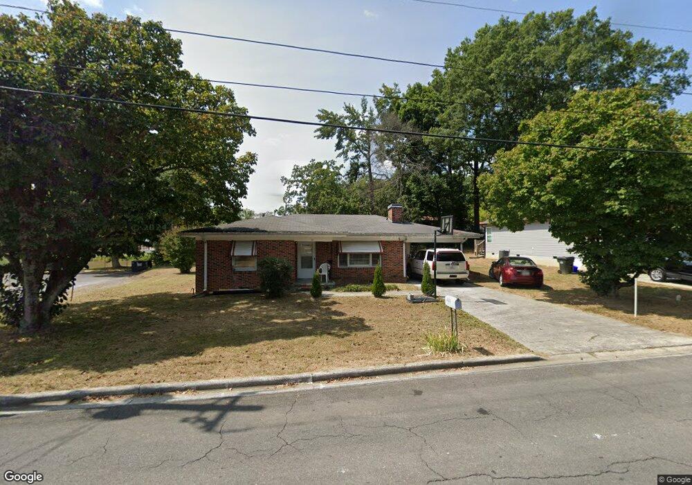
520 Lester Ave Dalton, GA 30721
Estimated Value: $161,406 - $242,000
--
Bed
--
Bath
1,141
Sq Ft
$186/Sq Ft
Est. Value
About This Home
This home is located at 520 Lester Ave, Dalton, GA 30721 and is currently estimated at $212,102, approximately $185 per square foot. 520 Lester Ave is a home located in Whitfield County with nearby schools including Blue Ridge Elementary School, Dalton Middle School, and Dalton High School.
Ownership History
Date
Name
Owned For
Owner Type
Purchase Details
Closed on
Aug 4, 2021
Sold by
Sarp Properties Llc
Bought by
Brass Holdings Llc
Current Estimated Value
Purchase Details
Closed on
Apr 30, 2020
Sold by
Singleton Spencer T
Bought by
Sarp Properties Llc
Purchase Details
Closed on
May 3, 2019
Sold by
Earnest E Roberts Family Testamentary Tr
Bought by
Singleton Spencer T
Home Financials for this Owner
Home Financials are based on the most recent Mortgage that was taken out on this home.
Original Mortgage
$82,214
Interest Rate
4%
Mortgage Type
Commercial
Purchase Details
Closed on
Oct 30, 2000
Sold by
Bray Mary Lou
Bought by
Robinson Ginger Roberts
Purchase Details
Closed on
Nov 1, 1995
Bought by
Bray Mary Lou
Create a Home Valuation Report for This Property
The Home Valuation Report is an in-depth analysis detailing your home's value as well as a comparison with similar homes in the area
Home Values in the Area
Average Home Value in this Area
Purchase History
| Date | Buyer | Sale Price | Title Company |
|---|---|---|---|
| Brass Holdings Llc | $18,000 | -- | |
| Sarp Properties Llc | -- | -- | |
| Singleton Spencer T | $106,000 | -- | |
| Singleton Spencer T | -- | -- | |
| Robinson Ginger Roberts | $84,900 | -- | |
| Bray Mary Lou | -- | -- |
Source: Public Records
Mortgage History
| Date | Status | Borrower | Loan Amount |
|---|---|---|---|
| Previous Owner | Singleton Spencer T | $82,214 |
Source: Public Records
Tax History Compared to Growth
Tax History
| Year | Tax Paid | Tax Assessment Tax Assessment Total Assessment is a certain percentage of the fair market value that is determined by local assessors to be the total taxable value of land and additions on the property. | Land | Improvement |
|---|---|---|---|---|
| 2024 | $1,551 | $55,258 | $13,800 | $41,458 |
| 2023 | $1,551 | $41,835 | $13,800 | $28,035 |
| 2022 | $1,441 | $41,835 | $13,800 | $28,035 |
| 2021 | $1,443 | $41,835 | $13,800 | $28,035 |
| 2020 | $1,499 | $41,835 | $13,800 | $28,035 |
| 2019 | $1,545 | $41,835 | $13,800 | $28,035 |
| 2018 | $1,569 | $41,835 | $13,800 | $28,035 |
| 2017 | $1,510 | $41,835 | $13,800 | $28,035 |
| 2016 | $1,520 | $41,835 | $13,800 | $28,035 |
| 2014 | $1,381 | $41,835 | $13,800 | $28,035 |
| 2013 | -- | $41,834 | $13,800 | $28,034 |
Source: Public Records
Map
Nearby Homes
- trac 2 Roosevelt Dr
- trac 3 Roosevelt Dr
- 514 Sheridan Ave
- 1902 Bartenfield Dr
- 1629 Roosevelt Dr
- 1007 Locke Dr
- 1302 Jackson Rd
- 0 Robinwood Dr
- 1412 Stevenson Dr
- Lot 5 River Bend Rd
- Lot 4 Riverbend Rd
- Lot 7 Riverbend Rd
- 143 Staten St
- 0 Dogwood Dr
- 359 Pacer Ln Unit 4
- 1407 Stacy Dr
- 1320 Coker Dr
- 136 Wiltshire Dr
- 1118 Dozier St
- 902 Mattie Dr
- 522 Lester Ave
- 518 Lester Ave
- 521 Barbara Ave
- 1581 E Walnut Ave
- 519 Barbara Ave
- 514 Lester Ave
- 523 Lester Ave
- 519 Lester Ave
- 515 Barbara Ave
- 517 Lester Ave
- 1701 E Walnut Ave
- 508 Lester Ave
- 515 Lester Ave
- 509 Lester Ave
- 509 Barbara Ave
- 1709 E Walnut Ave
- 0 E Walnut Ave
- 000 E Walnut Ave
- 520 Barbara Ave
- 508 Barbara Ave