520 MacWilliams Ln Unit Bldg-Unit Royal Oak, MI 48067
Estimated Value: $396,565 - $432,000
3
Beds
3
Baths
1,623
Sq Ft
$255/Sq Ft
Est. Value
About This Home
This home is located at 520 MacWilliams Ln Unit Bldg-Unit, Royal Oak, MI 48067 and is currently estimated at $413,891, approximately $255 per square foot. 520 MacWilliams Ln Unit Bldg-Unit is a home located in Oakland County with nearby schools including Oakland Elementary School, Royal Oak Middle School, and Royal Oak High School.
Ownership History
Date
Name
Owned For
Owner Type
Purchase Details
Closed on
Mar 18, 2021
Sold by
Patel Hetal P
Bought by
Patel Hetal P and Hetal P Patel Living Trust
Current Estimated Value
Purchase Details
Closed on
Jan 28, 2015
Sold by
Mubarak Omar A and Rose Leslie E
Bought by
Patel H
Home Financials for this Owner
Home Financials are based on the most recent Mortgage that was taken out on this home.
Original Mortgage
$185,250
Outstanding Balance
$141,118
Interest Rate
3.85%
Mortgage Type
New Conventional
Estimated Equity
$272,773
Purchase Details
Closed on
Jun 9, 2004
Sold by
Crossings Of Royal Oak Llc
Bought by
Mubarak Omar A and Rose Leslie E
Create a Home Valuation Report for This Property
The Home Valuation Report is an in-depth analysis detailing your home's value as well as a comparison with similar homes in the area
Home Values in the Area
Average Home Value in this Area
Purchase History
| Date | Buyer | Sale Price | Title Company |
|---|---|---|---|
| Patel Hetal P | -- | None Available | |
| Patel H | $247,000 | Liberty Title | |
| Mubarak Omar A | $250,000 | -- |
Source: Public Records
Mortgage History
| Date | Status | Borrower | Loan Amount |
|---|---|---|---|
| Open | Patel H | $185,250 |
Source: Public Records
Tax History
| Year | Tax Paid | Tax Assessment Tax Assessment Total Assessment is a certain percentage of the fair market value that is determined by local assessors to be the total taxable value of land and additions on the property. | Land | Improvement |
|---|---|---|---|---|
| 2025 | $9,343 | $186,000 | $0 | $0 |
| 2024 | $7,795 | $180,050 | $0 | $0 |
| 2022 | $8,501 | $161,200 | $0 | $0 |
| 2020 | $7,519 | $0 | $0 | $0 |
| 2018 | $8,501 | $138,660 | $0 | $0 |
| 2017 | $7,719 | $138,660 | $0 | $0 |
| 2015 | -- | $123,330 | $0 | $0 |
| 2014 | -- | $101,790 | $0 | $0 |
| 2011 | -- | $84,690 | $0 | $0 |
Source: Public Records
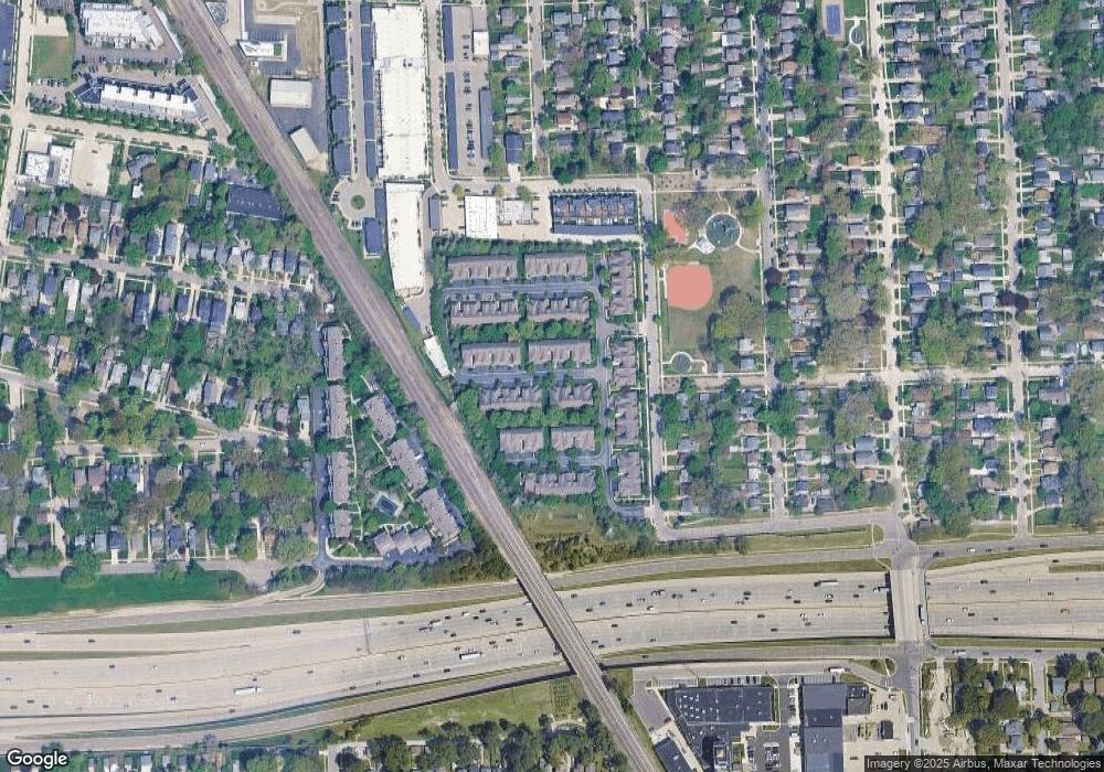
Map
Nearby Homes
- 1505 Anne Dr Unit 23
- 622 MacWilliams Ln Unit 1
- 1300 Batavia Ave Unit 1
- 1300 Batavia Ave Unit 2
- 1530 Maryland Club Dr
- 722 E Parent Ave
- 1510 Maryland Club Dr
- 1524 Maryland Club Dr
- 1566 Maryland Club Dr
- 1509 Chesapeake Unit 27
- 1260 Diamond Ct Unit A
- 1110 Longfellow Ave
- 533 E Harrison Ave Unit 41
- 533 E Harrison Ave Unit 20
- 533 E Harrison Ave Unit 36
- 533 E Harrison Ave Unit 35
- 333 E Parent Ave Unit 16
- 333 E Parent Ave Unit 35
- 333 E Parent Ave Unit 10
- 1212 Wyandotte Ave
- 420 James Cir Unit 58
- 1613 Anne Dr Unit Bldg-Unit
- 413 James Cir Unit Bldg-Unit
- 516 James Cir Unit Bldg-Unit
- 1319 Anne Dr Unit Bldg-Unit
- 421 James Cir Unit Bldg-Unit
- 405 James Cir Unit Bldg-Unit
- 420 James Cir Unit 12, 58
- 1305 Anne Dr Unit 81
- 1309 Anne Dr Unit 80
- 1313 Anne Dr
- 1319 Anne Dr Unit 78
- 1323 Anne Dr Unit 77
- 321 James Cir Unit 76
- 317 James Cir Unit 75
- 313 James Cir Unit 74
- 309 James Cir
- 305 James Cir
- 425 James Cir
- 421 James Cir Unit 69