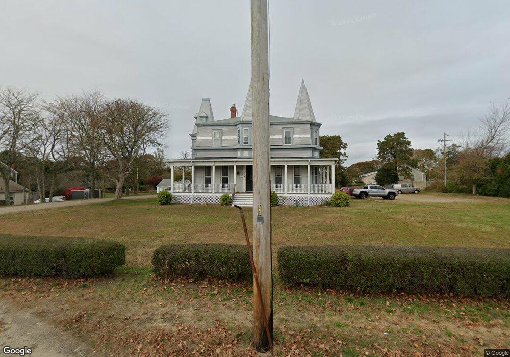
520 Main St Unit 2 West Dennis, MA 02670
West Dennis NeighborhoodEstimated Value: $204,000 - $333,000
2
Beds
1
Bath
510
Sq Ft
$525/Sq Ft
Est. Value
About This Home
This home is located at 520 Main St Unit 2, West Dennis, MA 02670 and is currently estimated at $267,737, approximately $524 per square foot. 520 Main St Unit 2 is a home located in Barnstable County with nearby schools including Dennis-Yarmouth Regional High School and St. Pius X. School.
Ownership History
Date
Name
Owned For
Owner Type
Purchase Details
Closed on
Oct 24, 2016
Sold by
Lopriore Cheryl and Alarie Thomas G
Bought by
44 Benton Rt and Francis
Current Estimated Value
Purchase Details
Closed on
Jul 23, 2007
Sold by
Robinson Caroline
Bought by
Lopriore Cheryl and Alarie Thomas G
Home Financials for this Owner
Home Financials are based on the most recent Mortgage that was taken out on this home.
Original Mortgage
$101,600
Interest Rate
6.54%
Mortgage Type
Purchase Money Mortgage
Purchase Details
Closed on
Sep 29, 2000
Sold by
Heiligmann Richard and Heiligmann Richard M
Bought by
Robinson Caroline
Home Financials for this Owner
Home Financials are based on the most recent Mortgage that was taken out on this home.
Original Mortgage
$67,425
Interest Rate
7.94%
Mortgage Type
Purchase Money Mortgage
Create a Home Valuation Report for This Property
The Home Valuation Report is an in-depth analysis detailing your home's value as well as a comparison with similar homes in the area
Home Values in the Area
Average Home Value in this Area
Purchase History
| Date | Buyer | Sale Price | Title Company |
|---|---|---|---|
| 44 Benton Rt | $118,000 | -- | |
| Lopriore Cheryl | $127,000 | -- | |
| Lopriore Cheryl | $127,000 | -- | |
| Robinson Caroline | $75,000 | -- | |
| Robinson Caroline | $75,000 | -- |
Source: Public Records
Mortgage History
| Date | Status | Borrower | Loan Amount |
|---|---|---|---|
| Previous Owner | Robinson Caroline | $99,100 | |
| Previous Owner | Lopriore Cheryl | $101,600 | |
| Previous Owner | Robinson Caroline | $67,425 |
Source: Public Records
Tax History
| Year | Tax Paid | Tax Assessment Tax Assessment Total Assessment is a certain percentage of the fair market value that is determined by local assessors to be the total taxable value of land and additions on the property. | Land | Improvement |
|---|---|---|---|---|
| 2025 | $823 | $190,100 | $0 | $190,100 |
| 2024 | $773 | $176,100 | $0 | $176,100 |
| 2023 | $674 | $144,400 | $0 | $144,400 |
| 2022 | $730 | $130,400 | $0 | $130,400 |
| 2021 | $709 | $117,500 | $0 | $117,500 |
| 2020 | $696 | $114,100 | $0 | $114,100 |
| 2019 | $711 | $115,300 | $0 | $115,300 |
| 2018 | $690 | $108,800 | $0 | $108,800 |
| 2017 | $461 | $75,000 | $0 | $75,000 |
| 2016 | $462 | $70,800 | $0 | $70,800 |
| 2015 | $453 | $70,800 | $0 | $70,800 |
| 2014 | $510 | $80,300 | $0 | $80,300 |
Source: Public Records
Map
Nearby Homes
- 520 Main St Unit 6A
- 520 Main St Unit 1A
- 520 Main St Unit 6
- 520 Main St Unit 4
- 520 Main St Unit 3
- 520 Main St Unit 1
- 520 Main St Unit 6A
- 520 Main St Unit 5A
- 520 Main St Unit 2A
- 520 Main St Unit 4A
- 520 Main St
- 520 Main St Unit 1A
- 520 Main St Unit 2A
- 508 Main St
- 3 Allain Way
- 3 Allain Way Unit 2
- 3 Allain Way Unit 1
- 3 Allain Way Unit U-B
- 3 Allain Way Unit 3
- 3 Allain Way Unit 3B
Your Personal Tour Guide
Ask me questions while you tour the home.