Estimated Value: $68,000 - $172,000
3
Beds
1
Bath
1,262
Sq Ft
$84/Sq Ft
Est. Value
About This Home
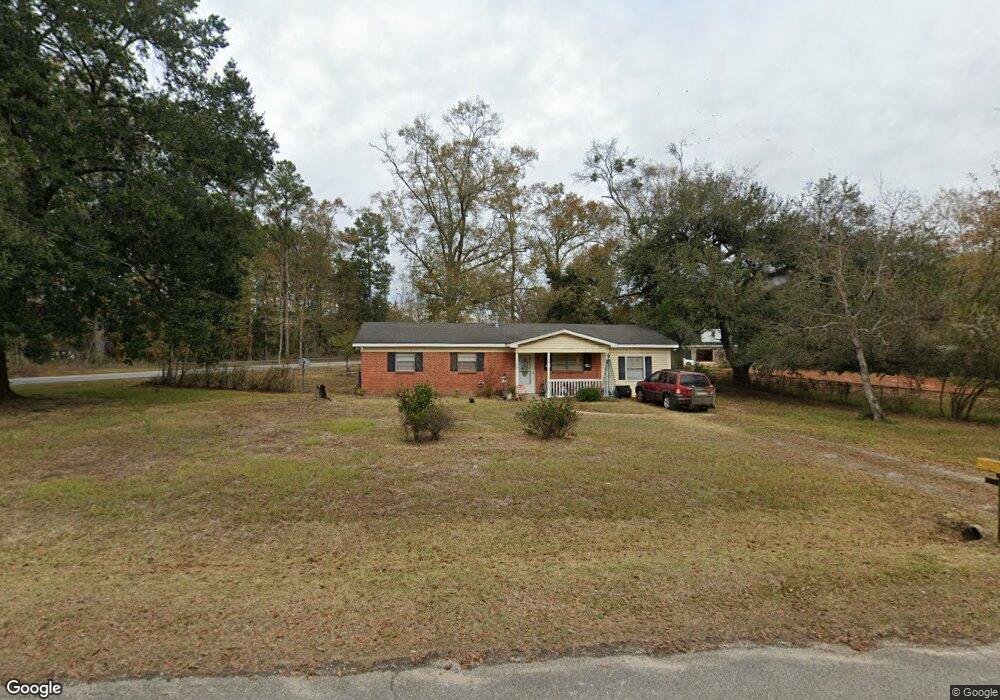
This home is located at 520 Mcbride Cir N, Axis, AL 36505 and is currently estimated at $106,333, approximately $84 per square foot. 520 Mcbride Cir N is a home located in Mobile County with nearby schools including North Mobile County Middle School and Citronelle High School.
Ownership History
Date
Name
Owned For
Owner Type
Purchase Details
Closed on
Feb 16, 2010
Sold by
The United States Department Of Housing
Bought by
Esco Alonzo S and Esco Rachell Darnell
Current Estimated Value
Purchase Details
Closed on
Dec 15, 2009
Sold by
Wells Fargo Bank Na
Bought by
The Secretary Of Housing & Urban Develop
Purchase Details
Closed on
Oct 23, 2009
Sold by
Cornett James C and Cornett Trina
Bought by
Wells Fargo Bank Na
Purchase Details
Closed on
Aug 27, 2004
Sold by
Poythress Kenneth M
Bought by
Cornett James Clinton
Home Financials for this Owner
Home Financials are based on the most recent Mortgage that was taken out on this home.
Original Mortgage
$60,500
Interest Rate
8.5%
Mortgage Type
Purchase Money Mortgage
Create a Home Valuation Report for This Property
The Home Valuation Report is an in-depth analysis detailing your home's value as well as a comparison with similar homes in the area
Home Values in the Area
Average Home Value in this Area
Purchase History
| Date | Buyer | Sale Price | Title Company |
|---|---|---|---|
| Esco Alonzo S | $49,041 | None Available | |
| The Secretary Of Housing & Urban Develop | -- | None Available | |
| Wells Fargo Bank Na | $111,967 | None Available | |
| Cornett James Clinton | -- | -- |
Source: Public Records
Mortgage History
| Date | Status | Borrower | Loan Amount |
|---|---|---|---|
| Previous Owner | Cornett James Clinton | $60,500 |
Source: Public Records
Tax History
| Year | Tax Paid | Tax Assessment Tax Assessment Total Assessment is a certain percentage of the fair market value that is determined by local assessors to be the total taxable value of land and additions on the property. | Land | Improvement |
|---|---|---|---|---|
| 2025 | -- | $5,420 | $1,000 | $4,420 |
| 2024 | -- | $5,420 | $1,000 | $4,420 |
| 2023 | $0 | $5,170 | $1,000 | $4,170 |
| 2022 | $0 | $5,170 | $1,000 | $4,170 |
| 2021 | $0 | $5,410 | $1,280 | $4,130 |
| 2020 | $510 | $5,410 | $1,280 | $4,130 |
| 2019 | $510 | $5,180 | $0 | $0 |
| 2018 | $510 | $9,540 | $0 | $0 |
| 2017 | $0 | $4,780 | $0 | $0 |
| 2016 | -- | $4,900 | $0 | $0 |
| 2013 | -- | $4,760 | $0 | $0 |
Source: Public Records
Map
Nearby Homes
- 565 Wilson Blvd
- 11286 Highway 43
- 11286 Old Us Highway 43
- 760 Wilson Blvd
- 11475 Highway 43 N
- 11525 Highway 43 N
- 11045 Hurst Dr
- 0 Bell Dr Unit 5
- 0 Lucas Rd Unit 7685894
- 10086 Old Highway 43
- 0 Dead Lake Marina Rd Unit 7360688
- 9875 Hardy Dr
- 341 Dead Lake Rd
- 1801 Dead Lake Marina Rd
- 284 Dead Lake Rd
- 0 Dead Lake Rd Unit 25467477
- 12865 Highway 43 N
- 1931 Dead Lake Marina Rd
- 0 Sailor Rd
- 9321 Lawshe Ave
- 520 Mcbride Cir N
- 530 Mcbride Cir N
- 0 Old Highway 43
- 540 Mcbride Cir N
- 501 Mcbride Cir S
- 515 Mcbride Cir N
- 11160 Old Highway 43
- 11226 Old Highway 43
- 529 Mcbride Cir N
- 550 Mcbride Cir N
- 539 Mcbride Cir N
- 561 Mcbride Cir N
- 560 Mcbride Cir N
- 510 Doretta Dr
- 11236 Old Highway 43
- 500 Doretta Dr
- 571 Mcbride Cir N
- 530 Doretta Dr
- 570 Mcbride Cir N
- 454 Mcbride Cir N
Your Personal Tour Guide
Ask me questions while you tour the home.