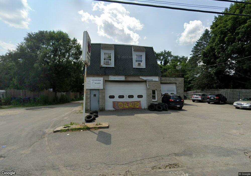
520 Merrimack St Methuen, MA 01844
The North End NeighborhoodEstimated Value: $1,129,170
--
Bed
--
Bath
6,338
Sq Ft
$178/Sq Ft
Est. Value
About This Home
This home is located at 520 Merrimack St, Methuen, MA 01844 and is currently estimated at $1,129,170, approximately $178 per square foot. 520 Merrimack St is a home located in Essex County with nearby schools including Methuen High School, Community Day Charter Public School - Gateway, and Silver Hill Elementary School.
Ownership History
Date
Name
Owned For
Owner Type
Purchase Details
Closed on
Jan 29, 2004
Sold by
Mckinney Ann and Mckinney Robert D
Bought by
A & J Llc
Current Estimated Value
Home Financials for this Owner
Home Financials are based on the most recent Mortgage that was taken out on this home.
Original Mortgage
$325,000
Outstanding Balance
$149,968
Interest Rate
5.82%
Mortgage Type
Commercial
Estimated Equity
$979,202
Purchase Details
Closed on
Jun 30, 1987
Sold by
Simonian Myra B
Bought by
Mckinney Robert D
Create a Home Valuation Report for This Property
The Home Valuation Report is an in-depth analysis detailing your home's value as well as a comparison with similar homes in the area
Home Values in the Area
Average Home Value in this Area
Purchase History
| Date | Buyer | Sale Price | Title Company |
|---|---|---|---|
| A & J Llc | $525,000 | -- | |
| A & J Llc | $525,000 | -- | |
| Mckinney Robert D | $350,000 | -- |
Source: Public Records
Mortgage History
| Date | Status | Borrower | Loan Amount |
|---|---|---|---|
| Open | A & J Llc | $325,000 | |
| Closed | Mckinney Robert D | $325,000 | |
| Previous Owner | Mckinney Robert D | $301,000 | |
| Previous Owner | Mckinney Robert D | $100,000 | |
| Previous Owner | Mckinney Robert D | $409,000 |
Source: Public Records
Tax History Compared to Growth
Tax History
| Year | Tax Paid | Tax Assessment Tax Assessment Total Assessment is a certain percentage of the fair market value that is determined by local assessors to be the total taxable value of land and additions on the property. | Land | Improvement |
|---|---|---|---|---|
| 2025 | -- | $778,800 | $275,200 | $503,600 |
| 2024 | -- | $743,400 | $250,300 | $493,100 |
| 2023 | $0 | $669,500 | $219,200 | $450,300 |
| 2022 | $0 | $601,100 | $188,100 | $413,000 |
| 2021 | $0 | $563,400 | $177,800 | $385,600 |
| 2020 | $0 | $551,300 | $177,800 | $373,500 |
| 2019 | $0 | $510,200 | $167,400 | $342,800 |
| 2018 | $0 | $492,300 | $157,000 | $335,300 |
| 2017 | $0 | $464,600 | $146,700 | $317,900 |
| 2016 | -- | $454,200 | $136,300 | $317,900 |
| 2015 | $7,626 | $421,300 | $113,500 | $307,800 |
Source: Public Records
Map
Nearby Homes
- 46 Oneida St
- 27 Russell Farm Dr
- 50 Woburn St
- 95 Pilgrim Cir Unit 95
- 17 Ferry Rd
- 23 Constitution Way Unit 23
- 23 Constitution Way
- 29 Wallace St
- 128 Pleasant Valley St
- 122 Pleasant Valley St
- 2 Goodrich Ave
- 29 Prescott St
- 86 Comet Rd
- 14 S Riverview St
- 70 Birch Ave
- 49 Ferry Rd
- 9 Riverbank Cir
- Lot 2 Washington St
- 660 River St
- 655 W Lowell Ave Unit 6