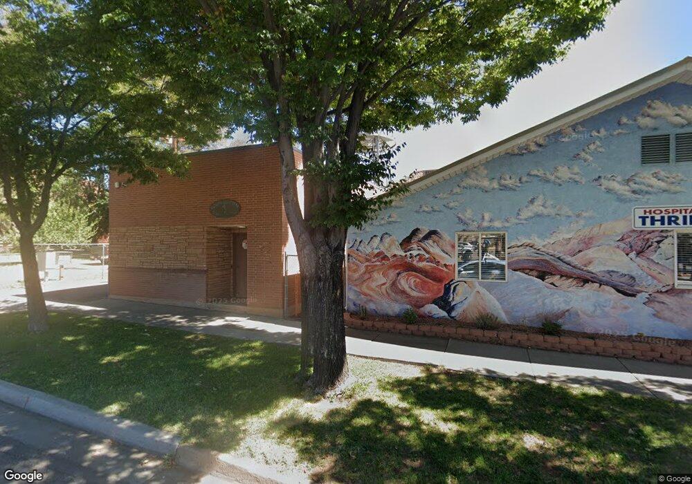
520 N Arrowhead Trail Kanab, UT 84741
Duck Creek Village NeighborhoodEstimated Value: $348,000 - $630,000
--
Bed
--
Bath
768
Sq Ft
$585/Sq Ft
Est. Value
About This Home
This home is located at 520 N Arrowhead Trail, Kanab, UT 84741 and is currently estimated at $449,365, approximately $585 per square foot. 520 N Arrowhead Trail is a home with nearby schools including Valley Elementary School and Valley High School.
Ownership History
Date
Name
Owned For
Owner Type
Purchase Details
Closed on
Jul 3, 2014
Sold by
Lori F Lori F
Bought by
Moore Lori F and Lori F Moore Revocable Living Trust
Current Estimated Value
Purchase Details
Closed on
Nov 20, 2012
Sold by
Moore Lori F
Bought by
Moore Lori F
Purchase Details
Closed on
Apr 4, 2006
Sold by
Moore Lori F
Bought by
Moore Lori F and The Lori F Moore Revocable Trust 6/30/20
Purchase Details
Closed on
Apr 3, 2006
Sold by
Moore Lori F
Bought by
Moore Lori F
Purchase Details
Closed on
Jan 30, 2006
Sold by
Moore Lori F
Bought by
Moore Lori F and The Lori F Moore Revocable Trust 6/30/20
Create a Home Valuation Report for This Property
The Home Valuation Report is an in-depth analysis detailing your home's value as well as a comparison with similar homes in the area
Home Values in the Area
Average Home Value in this Area
Purchase History
| Date | Buyer | Sale Price | Title Company |
|---|---|---|---|
| Moore Lori F | -- | -- | |
| Moore Lori F | -- | -- | |
| Moore Lori F | -- | -- | |
| Moore Lori F | -- | -- | |
| Moore Lori F | -- | -- |
Source: Public Records
Tax History Compared to Growth
Tax History
| Year | Tax Paid | Tax Assessment Tax Assessment Total Assessment is a certain percentage of the fair market value that is determined by local assessors to be the total taxable value of land and additions on the property. | Land | Improvement |
|---|---|---|---|---|
| 2025 | $1,460 | $222,065 | $117,599 | $104,466 |
| 2024 | $1,460 | $115,680 | $56,205 | $59,475 |
| 2023 | $1,287 | $108,349 | $48,874 | $59,475 |
| 2022 | $1,230 | $91,663 | $37,595 | $54,068 |
| 2021 | $1,045 | $116,919 | $44,100 | $72,819 |
| 2020 | $927 | $100,135 | $43,574 | $56,561 |
| 2019 | $904 | $94,928 | $43,574 | $51,354 |
| 2018 | $890 | $92,590 | $48,415 | $44,175 |
| 2017 | $929 | $92,590 | $48,415 | $44,175 |
| 2016 | $831 | $80,518 | $42,100 | $38,418 |
| 2015 | $782 | $80,161 | $34,960 | $45,201 |
| 2014 | $782 | $75,601 | $30,400 | $45,201 |
| 2013 | -- | $75,303 | $0 | $0 |
Source: Public Records
Map
Nearby Homes
- 520 Arrowhead Trail
- 470 Grassy Cir
- 2565 N Swains View Trail
- 675 N Swain's Creek Rd
- 520 & 530 N Grassy Trail
- 530 N Grassy Trail
- 520 N Grassy Trail
- 470 N Grassy Trail
- 580 Grassy Trail
- 2375 Douglas Trail
- 535 Arrowhead Trail
- 770 Skyline View Dr
- 145 N Apache Trail
- 175 N Apache Trail
- 550 Airport Dr
- 540 Airport Dr
- 550 N Arrowhead Trail
- 550 N Arrowhead Trail
- 495 N Swain's Creek Rd
- 574 N Swains Creek Rd
- 485 N Swains Creek Rd
- 565 N Arrowhead Trail
- 600 Arrowhead Trail
- 600 N Arrowhead Trl Scp 2-298
- 0 Swains Creek Pines Unit 7-88654
- 0 Swains Creek Pines Unit 24
- 330 Arrowhead Trail
- 610 N Arrowhead Trail
- 570 N Swains View Trail
- 615 N Swains View Trail
- 465 Swain's Creek Rd
- 615 N Swains Creek Rd
- 620 N Arrowhead
- 640 Swain's View Trail
- 630 N Arrowhead Unit 2
- 630 N Arrowhead
