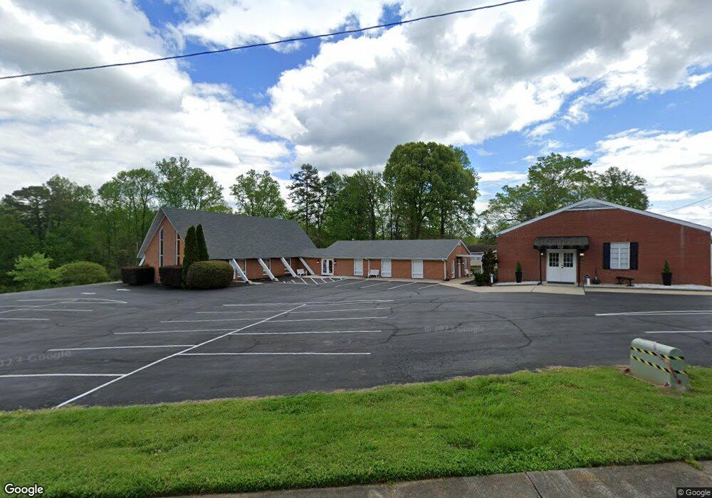
520 N Hawthorne St Mount Holly, NC 28120
Estimated Value: $1,166,911
3
Beds
2
Baths
1,586
Sq Ft
$736/Sq Ft
Est. Value
About This Home
This home is located at 520 N Hawthorne St, Mount Holly, NC 28120 and is currently estimated at $1,166,911, approximately $735 per square foot. 520 N Hawthorne St is a home located in Gaston County with nearby schools including Rankin Elementary School, Mount Holly Middle School, and Stuart W. Cramer High School.
Ownership History
Date
Name
Owned For
Owner Type
Purchase Details
Closed on
Sep 24, 1999
Sold by
Trustees Of The Diocese Of Western Nc
Bought by
L & C Inc
Current Estimated Value
Home Financials for this Owner
Home Financials are based on the most recent Mortgage that was taken out on this home.
Original Mortgage
$364,000
Outstanding Balance
$107,830
Interest Rate
7.81%
Estimated Equity
$1,059,081
Create a Home Valuation Report for This Property
The Home Valuation Report is an in-depth analysis detailing your home's value as well as a comparison with similar homes in the area
Home Values in the Area
Average Home Value in this Area
Purchase History
| Date | Buyer | Sale Price | Title Company |
|---|---|---|---|
| L & C Inc | $364,000 | -- |
Source: Public Records
Mortgage History
| Date | Status | Borrower | Loan Amount |
|---|---|---|---|
| Open | L & C Inc | $364,000 | |
| Closed | L & C Inc | $91,000 |
Source: Public Records
Tax History Compared to Growth
Tax History
| Year | Tax Paid | Tax Assessment Tax Assessment Total Assessment is a certain percentage of the fair market value that is determined by local assessors to be the total taxable value of land and additions on the property. | Land | Improvement |
|---|---|---|---|---|
| 2025 | $5,741 | $571,820 | $101,350 | $470,470 |
| 2024 | $5,741 | $571,820 | $101,350 | $470,470 |
| 2023 | $5,804 | $571,820 | $101,350 | $470,470 |
| 2022 | $6,700 | $517,390 | $116,660 | $400,730 |
| 2021 | $6,804 | $517,390 | $116,660 | $400,730 |
| 2019 | $6,855 | $517,390 | $116,660 | $400,730 |
| 2018 | $6,617 | $472,643 | $116,662 | $355,981 |
| 2017 | $6,617 | $472,643 | $116,662 | $355,981 |
| 2016 | $4,112 | $472,643 | $0 | $0 |
| 2014 | $3,962 | $455,384 | $159,200 | $296,184 |
Source: Public Records
Map
Nearby Homes
- 504 N Hawthorne St
- 105 S Tanninger Rd
- 101 Madison Dr
- 113 S Mulberry Ct
- 201 1st St
- 904 Timberlane Dr
- 157 Brookstone Dr
- 160 Brookstone Dr
- 1115 N Main St
- 422 Wilson St
- 112 Julia St
- 227 W Glendale Ave
- 3631 Azalea Ridge Dr
- 621 Herms Ave
- 225 N Lee St
- 413 W Glendale Ave
- 1015 Hoover Ave
- 609 Elm St
- 613 Elm St
- 1045 Hoover Ave
- 361 Woodlawn Ave
- 505 N Hawthorne St
- 502 N Hawthorne St
- 503 N Hawthorne St
- 357 Woodlawn Ave
- 425 Madison Dr
- 427 Madison Dr
- 500 N Hawthorne St
- 439 Madison Dr
- 353 Woodlawn Ave
- 507 N Hawthorne St
- 415 Madison Dr
- 435 Norton Rd
- 400 Woodlawn Rd
- 406 N Hawthorne St
- 413 Madison Dr
- 402 Woodlawn Ave
- 440 Madison Dr
- 407 N Hawthorne St
- 430 Madison Dr