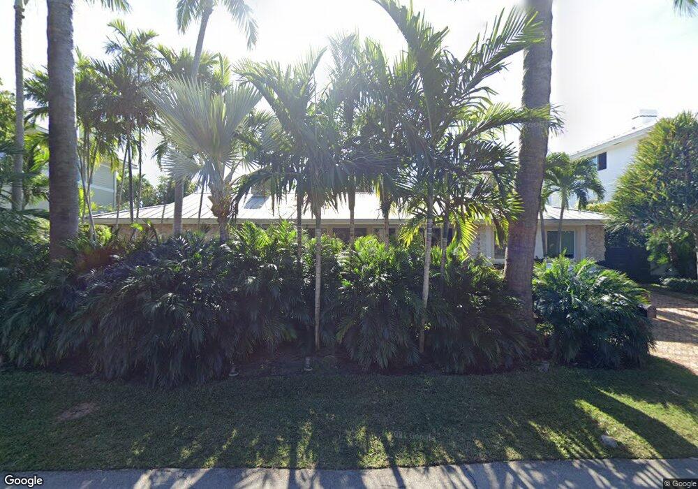
520 N Mashta Dr Key Biscayne, FL 33149
Estimated Value: $3,808,000 - $5,473,000
3
Beds
3
Baths
2,766
Sq Ft
$1,662/Sq Ft
Est. Value
About This Home
This home is located at 520 N Mashta Dr, Key Biscayne, FL 33149 and is currently estimated at $4,596,243, approximately $1,661 per square foot. 520 N Mashta Dr is a home located in Miami-Dade County with nearby schools including Key Biscayne K-8 Center, Ponce de Leon Middle School, and Coral Gables Senior High School.
Ownership History
Date
Name
Owned For
Owner Type
Purchase Details
Closed on
Jun 4, 2003
Sold by
Jacobson Nathan A and Jacobson Hilda M
Bought by
Decoral Andres and Decoral Margarita
Current Estimated Value
Home Financials for this Owner
Home Financials are based on the most recent Mortgage that was taken out on this home.
Original Mortgage
$742,000
Outstanding Balance
$316,765
Interest Rate
5.43%
Mortgage Type
Unknown
Estimated Equity
$4,279,478
Create a Home Valuation Report for This Property
The Home Valuation Report is an in-depth analysis detailing your home's value as well as a comparison with similar homes in the area
Home Values in the Area
Average Home Value in this Area
Purchase History
We collect this data history from publicly available records. To have your information removed, we recommend requesting removal directly through your county’s website.
| Date | Buyer | Sale Price | Title Company |
|---|---|---|---|
| Decoral Andres | $1,060,000 | -- |
Source: Public Records
Mortgage History
We collect this data history from publicly available records. To have your information removed, we recommend requesting removal directly through your county’s website.
| Date | Status | Borrower | Loan Amount |
|---|---|---|---|
| Open | Decoral Andres | $742,000 |
Source: Public Records
Tax History
| Year | Tax Paid | Tax Assessment Tax Assessment Total Assessment is a certain percentage of the fair market value that is determined by local assessors to be the total taxable value of land and additions on the property. | Land | Improvement |
|---|---|---|---|---|
| 2025 | $27,438 | $1,695,952 | -- | -- |
| 2024 | $26,454 | $1,648,156 | -- | -- |
| 2023 | $26,454 | $1,600,152 | $0 | $0 |
| 2022 | $25,209 | $1,553,546 | $0 | $0 |
| 2021 | $25,274 | $1,508,298 | $0 | $0 |
| 2020 | $23,953 | $1,487,474 | $0 | $0 |
| 2019 | $23,459 | $1,454,032 | $0 | $0 |
| 2018 | $22,230 | $1,426,921 | $0 | $0 |
| 2017 | $21,955 | $1,397,572 | $0 | $0 |
| 2016 | $22,030 | $1,368,827 | $0 | $0 |
| 2015 | $22,348 | $1,359,312 | $0 | $0 |
| 2014 | $22,692 | $1,348,524 | $0 | $0 |
Source: Public Records
Map
Nearby Homes
- 591 N Mashta Dr
- 640 S Mashta Dr
- 861 Harbor Dr
- 420 Island Dr
- 741 Harbor Dr
- 960 Mariner Dr
- 685 Harbor Ln
- 610 Harbor Cir
- 690 Warren Ln
- 164 W Mashta Dr
- 204 Westwood Dr
- 760 Woodcrest Rd
- 1111 Crandon Blvd Unit B807
- 1111 Crandon Blvd Unit C902
- 1111 Crandon Blvd Unit A504
- 1111 Crandon Blvd Unit C205
- 1111 Crandon Blvd Unit A405
- 1111 Crandon Blvd Unit C406
- 1111 Crandon Blvd Unit B1108
- 241 Cape Florida Dr
- 521 S Mashta Dr
- 531 S Mashta Dr
- 511 S Mashta Dr
- 500 N Mashta Dr
- 530 N Mashta Dr
- 520 S Mashta Dr
- 541 S Mashta Dr
- 540 N Mashta Dr
- 530 S Mashta Dr
- 500 S Mashta Dr
- 520 W Mashta Dr
- 550 N Mashta Dr
- 540 W Mashta Dr
- 501 N Mashta Dr
- 511 N Mashta Dr
- 548 S Mashta Dr
- 500 W Mashta Dr
- 490 S Mashta Dr
- 551 N Mashta Dr
- 561 S Mashta Dr
Your Personal Tour Guide
Ask me questions while you tour the home.