520 N Sheffield Rd Brunswick, GA 31525
Estimated Value: $86,462 - $238,000
--
Bed
--
Bath
--
Sq Ft
17.68
Acres
About This Home
This home is located at 520 N Sheffield Rd, Brunswick, GA 31525 and is currently estimated at $167,866. 520 N Sheffield Rd is a home with nearby schools including Sterling Elementary School, Jane Macon Middle School, and Brunswick High School.
Ownership History
Date
Name
Owned For
Owner Type
Purchase Details
Closed on
Oct 21, 2022
Sold by
Williford Eric B
Bought by
Miller Sondra J and Miller George
Current Estimated Value
Purchase Details
Closed on
May 6, 2020
Sold by
Williford Siblings Llc
Bought by
Miller Sondra J
Purchase Details
Closed on
Mar 3, 2009
Sold by
Williford Edward
Bought by
Williford Siblings Llc
Purchase Details
Closed on
May 31, 2007
Sold by
Country Roads Llc
Bought by
Cruz Fabian
Purchase Details
Closed on
Dec 18, 2006
Sold by
Nobles Derek
Bought by
Country Roads Llc
Create a Home Valuation Report for This Property
The Home Valuation Report is an in-depth analysis detailing your home's value as well as a comparison with similar homes in the area
Home Values in the Area
Average Home Value in this Area
Purchase History
| Date | Buyer | Sale Price | Title Company |
|---|---|---|---|
| Miller Sondra J | -- | -- | |
| Miller Sondra J | -- | -- | |
| Williford Siblings Llc | -- | -- | |
| Cruz Fabian | $33,000 | -- | |
| Country Roads Llc | -- | -- | |
| Country Roads Llc | -- | -- | |
| Country Roads Llc | -- | -- | |
| Country Roads Llc | $60,000 | -- |
Source: Public Records
Tax History Compared to Growth
Tax History
| Year | Tax Paid | Tax Assessment Tax Assessment Total Assessment is a certain percentage of the fair market value that is determined by local assessors to be the total taxable value of land and additions on the property. | Land | Improvement |
|---|---|---|---|---|
| 2025 | $560 | $22,320 | $20,640 | $1,680 |
| 2024 | $560 | $22,320 | $20,640 | $1,680 |
| 2023 | $549 | $22,320 | $20,640 | $1,680 |
| 2022 | $493 | $19,640 | $17,960 | $1,680 |
| 2021 | $532 | $20,560 | $18,880 | $1,680 |
| 2020 | $649 | $24,840 | $23,160 | $1,680 |
| 2019 | $649 | $24,840 | $23,160 | $1,680 |
| 2018 | $649 | $24,840 | $23,160 | $1,680 |
| 2017 | $649 | $24,840 | $23,160 | $1,680 |
| 2016 | $596 | $24,840 | $23,160 | $1,680 |
| 2015 | $924 | $38,360 | $36,680 | $1,680 |
| 2014 | $924 | $38,360 | $36,680 | $1,680 |
Source: Public Records
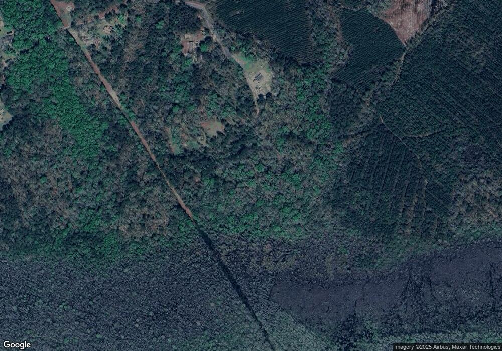
Map
Nearby Homes
- 5406 Old Jesup Rd
- 23 Merritt Trace
- 203 Green Cove Dr
- 10032 Woodland Cove
- 197 Acorn Dr
- 10016 Woodland Cove
- 10004 Woodland Cove
- 11033 Woodland Trail
- The Magnolia Plan at Woodland Cove
- The Dogwood Plan at Woodland Cove
- 11027 Woodland Trail
- 10035 Woodland Cove
- 11026 Woodland Trail
- 11040 Woodland Trail
- 125 Greencove Dr
- 168 N Burgess Rd
- 00 Hwy #32 Hwy #99 Unit n/a
- 62 E Chapel Dr
- 48 E Chapel Dr
- 46 E Chapel Dr