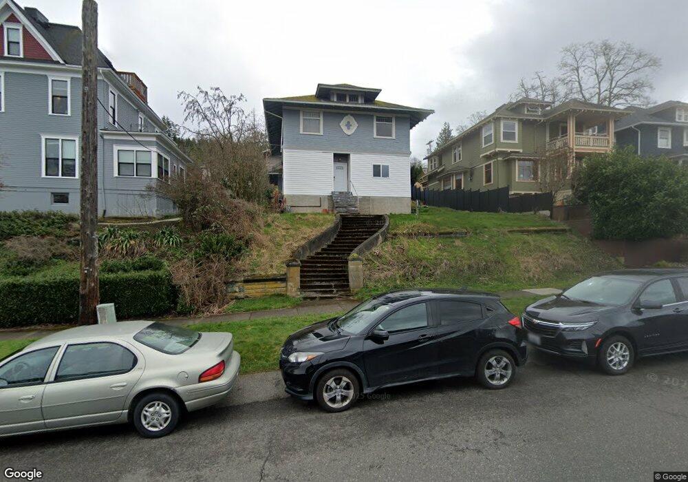
520 N State St Bellingham, WA 98225
Sehome NeighborhoodEstimated Value: $960,058 - $1,359,000
4
Beds
2
Baths
2,113
Sq Ft
$530/Sq Ft
Est. Value
About This Home
This home is located at 520 N State St, Bellingham, WA 98225 and is currently estimated at $1,119,515, approximately $529 per square foot. 520 N State St is a home located in Whatcom County with nearby schools including Lowell Elementary School, Fairhaven Middle School, and Sehome High School.
Ownership History
Date
Name
Owned For
Owner Type
Purchase Details
Closed on
Feb 20, 2001
Sold by
Mallahan Mathew A and Mallahan Mary Ann
Bought by
Vokksten Rhiny W and Vokksten Nora F
Current Estimated Value
Home Financials for this Owner
Home Financials are based on the most recent Mortgage that was taken out on this home.
Original Mortgage
$220,300
Outstanding Balance
$78,444
Interest Rate
6.89%
Estimated Equity
$1,041,071
Create a Home Valuation Report for This Property
The Home Valuation Report is an in-depth analysis detailing your home's value as well as a comparison with similar homes in the area
Home Values in the Area
Average Home Value in this Area
Purchase History
| Date | Buyer | Sale Price | Title Company |
|---|---|---|---|
| Vokksten Rhiny W | $244,803 | Whatcom Land Title |
Source: Public Records
Mortgage History
| Date | Status | Borrower | Loan Amount |
|---|---|---|---|
| Open | Vokksten Rhiny W | $220,300 |
Source: Public Records
Tax History Compared to Growth
Tax History
| Year | Tax Paid | Tax Assessment Tax Assessment Total Assessment is a certain percentage of the fair market value that is determined by local assessors to be the total taxable value of land and additions on the property. | Land | Improvement |
|---|---|---|---|---|
| 2024 | $7,403 | $918,657 | $692,654 | $226,003 |
| 2023 | $7,403 | $951,501 | $717,418 | $234,083 |
| 2022 | $7,135 | $952,471 | $610,572 | $341,899 |
| 2021 | $6,632 | $768,143 | $492,410 | $275,733 |
| 2020 | $6,512 | $673,804 | $431,935 | $241,869 |
| 2019 | $4,756 | $639,586 | $410,000 | $229,586 |
| 2018 | $4,937 | $468,289 | $289,153 | $179,136 |
| 2017 | $4,349 | $415,670 | $256,660 | $159,010 |
| 2016 | $3,962 | $382,669 | $236,160 | $146,509 |
| 2015 | $3,899 | $362,869 | $223,860 | $139,009 |
| 2014 | -- | $345,583 | $213,200 | $132,383 |
| 2013 | -- | $330,008 | $205,000 | $125,008 |
Source: Public Records
Map
Nearby Homes
- 414 Boulevard Unit 105
- 415 N State St
- 0 Pine St Unit NWM2445229
- 310 E Ivy St
- 901 N Forest St Unit 107
- 901 N Forest St Unit 125
- 901 N Forest St Unit 109
- 819 High St Unit 317
- 616 E Myrtle St
- 615 E Myrtle St
- 1001 N State St Unit 403
- 106 N State St Unit 106
- 1015 Railroad Ave Unit 418
- 1031 N State St Unit 107
- 1031 N State St Unit 209
- 201 S State St Unit B
- 201 S State St Unit A
- 216 Morey Ave
- 1126 N Forest St
- 1025 Granary Ave Unit 503
- 516 N State St
- 528 N State St
- 310 Pine St
- 306 Pine St
- 306 Pine St Unit 202
- 306 Pine St Unit 201
- 306 Pine St Unit 102
- 306 Pine St Unit 101
- 306 Pine St Unit 101
- 521 N Forest St
- 510 N State St
- 517 N Forest St
- 312 Pine St
- 515 N Forest St
- 527 N Forest St
- 509 N Forest St
- 504 N State St
- 531 N Forest St
- 311 Cedar St
- 600 N State St