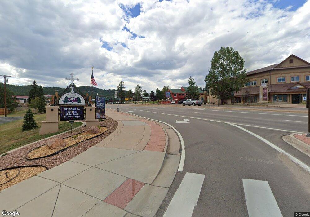
520 N West St Woodland Park, CO 80863
Estimated Value: $556,000 - $650,000
3
Beds
2
Baths
2,022
Sq Ft
$299/Sq Ft
Est. Value
About This Home
This home is located at 520 N West St, Woodland Park, CO 80863 and is currently estimated at $604,279, approximately $298 per square foot. 520 N West St is a home located in Teller County with nearby schools including Woodland Park Junior/Senior High School, Merit Academy, and Colorado Springs Christian School.
Ownership History
Date
Name
Owned For
Owner Type
Purchase Details
Closed on
Jul 20, 2020
Sold by
Carlson Randy D and Pham Houng T
Bought by
Switzer Christopher F and Switzer Christopher F
Current Estimated Value
Home Financials for this Owner
Home Financials are based on the most recent Mortgage that was taken out on this home.
Original Mortgage
$419,920
Outstanding Balance
$372,357
Interest Rate
3.1%
Mortgage Type
New Conventional
Estimated Equity
$231,922
Purchase Details
Closed on
Aug 1, 2013
Sold by
Wolff Katherine M
Bought by
Carlson Randy D and Pham Hong T
Purchase Details
Closed on
Feb 14, 1973
Bought by
Carlson Randy D
Purchase Details
Closed on
Sep 3, 1955
Bought by
Carlson Randy D
Create a Home Valuation Report for This Property
The Home Valuation Report is an in-depth analysis detailing your home's value as well as a comparison with similar homes in the area
Home Values in the Area
Average Home Value in this Area
Purchase History
| Date | Buyer | Sale Price | Title Company |
|---|---|---|---|
| Switzer Christopher F | $524,900 | Empire Title Co Springs Llc | |
| Carlson Randy D | $245,000 | None Available | |
| Carlson Randy D | -- | -- | |
| Carlson Randy D | -- | -- |
Source: Public Records
Mortgage History
| Date | Status | Borrower | Loan Amount |
|---|---|---|---|
| Open | Switzer Christopher F | $419,920 |
Source: Public Records
Tax History Compared to Growth
Tax History
| Year | Tax Paid | Tax Assessment Tax Assessment Total Assessment is a certain percentage of the fair market value that is determined by local assessors to be the total taxable value of land and additions on the property. | Land | Improvement |
|---|---|---|---|---|
| 2024 | $2,925 | $36,980 | $10,060 | $26,920 |
| 2023 | $2,925 | $36,980 | $10,060 | $26,920 |
| 2022 | $2,470 | $30,440 | $5,460 | $24,980 |
| 2021 | $2,529 | $31,320 | $5,620 | $25,700 |
| 2020 | $2,105 | $26,680 | $5,240 | $21,440 |
| 2019 | $2,091 | $26,680 | $0 | $0 |
| 2018 | $1,481 | $18,490 | $0 | $0 |
| 2017 | $1,483 | $18,490 | $0 | $0 |
| 2016 | $1,771 | $22,010 | $0 | $0 |
| 2015 | $1,922 | $22,010 | $0 | $0 |
| 2014 | $1,120 | $12,700 | $0 | $0 |
Source: Public Records
Map
Nearby Homes
- 706 Elm St
- 706 W Bowman Ave
- 316 N Walnut St
- 750 W Lake Ave
- 201 W Henrietta Ave
- 13990 Colorado 67
- 661 Calico Ct
- TBD Rolling Park Dr
- 311 Spruce Meadow Grove
- 660 Calico Ct
- 14077 N Highway 67
- 29545 N Highway 67
- 29507 N Highway 67
- Tract 36 N Highway 67
- 13990 N Highway 67
- 303 E Lake Ave
- 10 Ollie Ct
- 205 N Laurel St
- 410 Hillcrest Ave
- 222 N Laurel St Unit E
- 408 W Bowman Ave
- 415 W Gunnison Ave
- 404 W Gunnison Ave
- 414 W Gunnison Ave
- 417 N West St
- 316 W Gunnison Ave
- 301 W Gunnison Ave
- 520 Maple St
- 405 W Bowman Ave
- 604 Maple St
- 419 W County Rd
- 310 W Gunnison Ave
- 691 N West St
- 415 N West St
- 415 W Bowman Ave
- 502 N Pine St
- 300 W Gunnison Ave
- 506 W Gunnison Ave
- 492 N Pine St
- 500 W Bowman Ave
