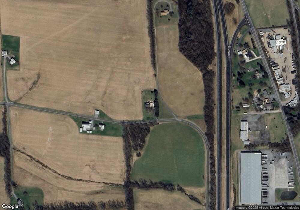
520 Number 10 Rd New Columbia, PA 17856
Estimated Value: $162,000 - $233,047
3
Beds
2
Baths
1,040
Sq Ft
$183/Sq Ft
Est. Value
About This Home
This home is located at 520 Number 10 Rd, New Columbia, PA 17856 and is currently estimated at $190,262, approximately $182 per square foot. 520 Number 10 Rd is a home located in Union County with nearby schools including Milton High School, Watsontown Christian Academy, and Beaver Run Parochial School.
Ownership History
Date
Name
Owned For
Owner Type
Purchase Details
Closed on
Aug 12, 2020
Sold by
Kriner Liane K and Klobe Jeffrey C
Bought by
Lauchle Sarina A and Clayton Tyler Scott
Current Estimated Value
Home Financials for this Owner
Home Financials are based on the most recent Mortgage that was taken out on this home.
Original Mortgage
$104,500
Outstanding Balance
$92,699
Interest Rate
3%
Mortgage Type
New Conventional
Estimated Equity
$97,563
Create a Home Valuation Report for This Property
The Home Valuation Report is an in-depth analysis detailing your home's value as well as a comparison with similar homes in the area
Home Values in the Area
Average Home Value in this Area
Purchase History
| Date | Buyer | Sale Price | Title Company |
|---|---|---|---|
| Lauchle Sarina A | $110,000 | None Available |
Source: Public Records
Mortgage History
| Date | Status | Borrower | Loan Amount |
|---|---|---|---|
| Open | Lauchle Sarina A | $104,500 |
Source: Public Records
Tax History Compared to Growth
Tax History
| Year | Tax Paid | Tax Assessment Tax Assessment Total Assessment is a certain percentage of the fair market value that is determined by local assessors to be the total taxable value of land and additions on the property. | Land | Improvement |
|---|---|---|---|---|
| 2025 | $2,469 | $109,800 | $25,000 | $84,800 |
| 2024 | $2,420 | $109,800 | $25,000 | $84,800 |
| 2023 | $2,506 | $109,800 | $25,000 | $84,800 |
| 2022 | $2,586 | $109,800 | $25,000 | $84,800 |
| 2021 | $2,546 | $109,800 | $25,000 | $84,800 |
| 2020 | $2,499 | $109,800 | $25,000 | $84,800 |
| 2019 | $2,455 | $109,800 | $25,000 | $84,800 |
| 2018 | $2,320 | $109,800 | $25,000 | $84,800 |
| 2017 | $2,217 | $109,800 | $25,000 | $84,800 |
| 2016 | $1,994 | $109,800 | $25,000 | $84,800 |
| 2015 | -- | $109,800 | $25,000 | $84,800 |
| 2014 | -- | $109,800 | $25,000 | $84,800 |
Source: Public Records
Map
Nearby Homes
- 0 Fornwalt Ln Unit 20-100886
- 21 Main St
- 159 Grandview Dr
- 5 W 7th St
- 813 Elm St
- 818 Main St Unit 820
- 1822 White Deer Pike
- 15429 U S 15
- 215 E 8th St
- 2590 New Columbia Rd
- 142 Ridge Rd
- 2469 New Columbia Rd
- 10491 River Rd
- 397 N Hill Rd
- 452 Main St
- 0 Us Route 15 Hwy
- 243 Main St
- 1258 Old Route 15
- 0 Voris Ln
- 229 Harvey's Ln
- 3581 Old Route 15
- 38 Cat Rd
- 3505 Old Route 15
- 3543 Old Route 15
- 3597 Old Route 15
- 3597 Old Route 15
- 3477 Old Route 15
- 3477 Old Route 15
- 3576 Old Route 15
- 3438 Old Route 15
- 794 Number 10 Rd
- 795 Number 10 Rd
- 3752 Old Route 15
- 3770 Old Route 15
- 3796 Old Route 15
- 1111 Leiser Rd
- 0 Leiser Rd Unit 360
- 1127 Leiser Rd
- 3808 Old Route 15
- 1137 Leiser Rd
