520 Observatory Dr Unit 13C Colorado Springs, CO 80904
Westside NeighborhoodEstimated Value: $293,000 - $327,000
2
Beds
2
Baths
1,212
Sq Ft
$253/Sq Ft
Est. Value
About This Home
This home is located at 520 Observatory Dr Unit 13C, Colorado Springs, CO 80904 and is currently estimated at $307,222, approximately $253 per square foot. 520 Observatory Dr Unit 13C is a home located in El Paso County with nearby schools including Bristol Elementary, School of the Arts and STEM, Holmes Middle School, and Coronado High School.
Ownership History
Date
Name
Owned For
Owner Type
Purchase Details
Closed on
Aug 31, 2010
Sold by
Smith Richard C and Smith Catherine A
Bought by
Smith Gary A
Current Estimated Value
Home Financials for this Owner
Home Financials are based on the most recent Mortgage that was taken out on this home.
Original Mortgage
$158,332
Outstanding Balance
$105,134
Interest Rate
4.55%
Mortgage Type
VA
Estimated Equity
$202,088
Purchase Details
Closed on
May 3, 2002
Sold by
Smith Richard C and Englert Catherine A
Bought by
Smith Richard C and Smith Catherine A
Home Financials for this Owner
Home Financials are based on the most recent Mortgage that was taken out on this home.
Original Mortgage
$108,750
Interest Rate
7.1%
Purchase Details
Closed on
Jun 19, 1992
Bought by
Smith Gary A
Purchase Details
Closed on
May 3, 1988
Bought by
Smith Gary A
Purchase Details
Closed on
Mar 1, 1985
Bought by
Smith Gary A
Create a Home Valuation Report for This Property
The Home Valuation Report is an in-depth analysis detailing your home's value as well as a comparison with similar homes in the area
Home Values in the Area
Average Home Value in this Area
Purchase History
| Date | Buyer | Sale Price | Title Company |
|---|---|---|---|
| Smith Gary A | $155,000 | Guardian Title | |
| Smith Richard C | -- | North American Title | |
| Smith Gary A | $81,400 | -- | |
| Smith Gary A | -- | -- | |
| Smith Gary A | -- | -- |
Source: Public Records
Mortgage History
| Date | Status | Borrower | Loan Amount |
|---|---|---|---|
| Open | Smith Gary A | $158,332 | |
| Previous Owner | Smith Richard C | $108,750 |
Source: Public Records
Tax History Compared to Growth
Tax History
| Year | Tax Paid | Tax Assessment Tax Assessment Total Assessment is a certain percentage of the fair market value that is determined by local assessors to be the total taxable value of land and additions on the property. | Land | Improvement |
|---|---|---|---|---|
| 2025 | $912 | $23,080 | -- | -- |
| 2024 | $804 | $20,800 | $4,390 | $16,410 |
| 2022 | $862 | $15,400 | $2,880 | $12,520 |
| 2021 | $935 | $15,850 | $2,970 | $12,880 |
| 2020 | $879 | $12,950 | $2,220 | $10,730 |
| 2019 | $874 | $12,950 | $2,220 | $10,730 |
| 2018 | $867 | $11,810 | $1,800 | $10,010 |
| 2017 | $821 | $11,810 | $1,800 | $10,010 |
| 2016 | $721 | $12,430 | $1,990 | $10,440 |
| 2015 | $718 | $12,430 | $1,990 | $10,440 |
| 2014 | $644 | $10,710 | $1,790 | $8,920 |
Source: Public Records
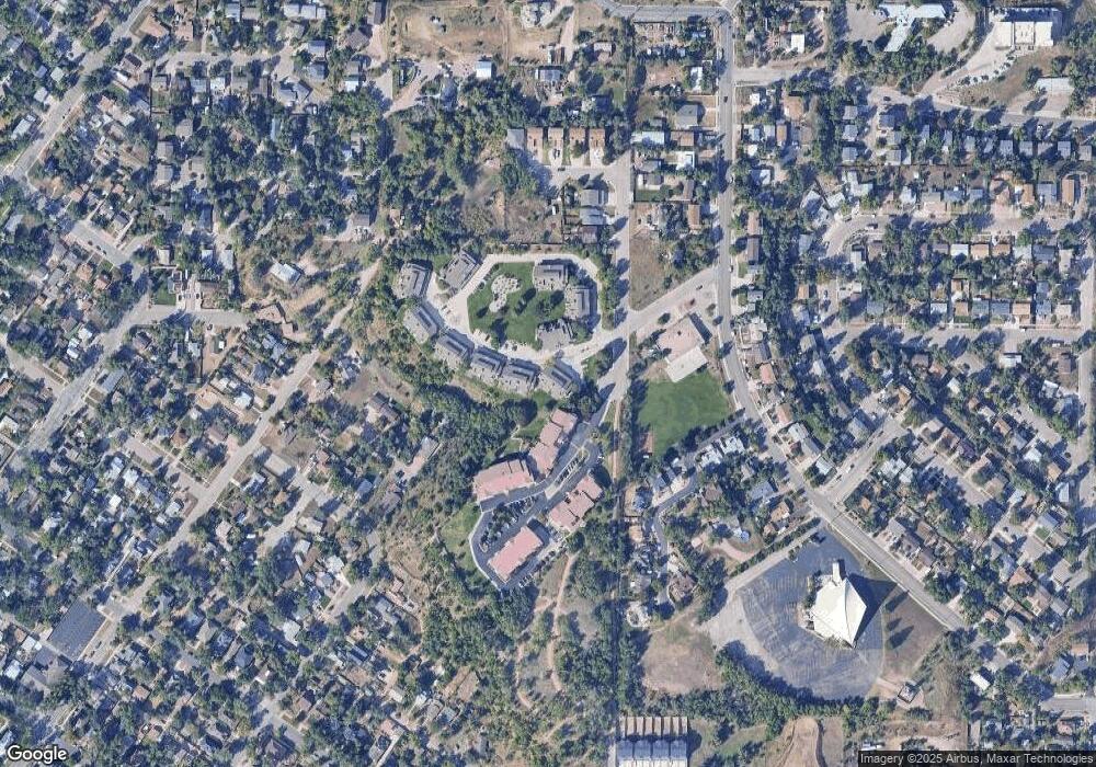
Map
Nearby Homes
- 585 Observatory Dr Unit 2F
- 1365 Talley Cir
- 1375 Talley Cir
- 1345 Talley Cir
- 1355 Talley Cir
- 660 Pony Ln
- 135 Helena Ln
- 321 Graceland Grove
- 119 Helena Ln
- 1502 Manitou Blvd
- 23 N 15th St
- 1509 W Platte Ave
- 1522 Manitou Blvd
- 1315 W Kiowa St
- 546 W Saint Vrain St
- 1112 W Kiowa St
- 549 W Dale St Unit 569
- 708 Cooper Ave
- 1411 W Kiowa St
- 427 N Chestnut St
- 514 Observatory Dr Unit F
- 524 Observatory Dr
- 516 Observatory Dr
- 522 Observatory Dr
- 518 Observatory Dr Unit 13D
- 518 Observatory Dr Unit 518 Observatory Driv
- 518 Observatory Dr
- 536 Observatory Dr Unit 11A
- 523 Observatory Dr Unit 12E
- 534 Observatory Dr
- 532 Observatory Dr Unit 11C
- 519 Observatory Dr Unit 12C
- 526 Observatory Dr Unit F
- 517 Observatory Dr
- 530 Observatory Dr
- 525 Observatory Dr Unit 12F
- 515 Observatory Dr Unit 12A
- 528 Observatory Dr Unit E
- 548 Observatory Dr Unit A
- 546 Observatory Dr