520 Riverside Ln Blue Ridge, GA 30513
Estimated Value: $482,647 - $1,277,000
--
Bed
2
Baths
1,750
Sq Ft
$442/Sq Ft
Est. Value
About This Home
This home is located at 520 Riverside Ln, Blue Ridge, GA 30513 and is currently estimated at $774,162, approximately $442 per square foot. 520 Riverside Ln is a home located in Fannin County with nearby schools including Fannin County High School.
Ownership History
Date
Name
Owned For
Owner Type
Purchase Details
Closed on
Nov 7, 2008
Sold by
Shirley Julie S
Bought by
Shirley Timothy G
Current Estimated Value
Purchase Details
Closed on
Aug 6, 1999
Sold by
Mccain J Ross
Bought by
Shirley Timothy G
Purchase Details
Closed on
Aug 11, 1997
Sold by
Canat Canat A and Canat Judith
Bought by
Mccain J Ross
Purchase Details
Closed on
Sep 13, 1985
Bought by
Canat Canat A and Canat Judith
Create a Home Valuation Report for This Property
The Home Valuation Report is an in-depth analysis detailing your home's value as well as a comparison with similar homes in the area
Home Values in the Area
Average Home Value in this Area
Purchase History
| Date | Buyer | Sale Price | Title Company |
|---|---|---|---|
| Shirley Timothy G | -- | -- | |
| Shirley Timothy G | $187,500 | -- | |
| Shirley Timothy G | $200,000 | -- | |
| Mccain J Ross | $31,000 | -- | |
| Canat Canat A | -- | -- |
Source: Public Records
Tax History Compared to Growth
Tax History
| Year | Tax Paid | Tax Assessment Tax Assessment Total Assessment is a certain percentage of the fair market value that is determined by local assessors to be the total taxable value of land and additions on the property. | Land | Improvement |
|---|---|---|---|---|
| 2024 | $1,249 | $136,326 | $23,424 | $112,902 |
| 2023 | $1,150 | $112,791 | $20,541 | $92,250 |
| 2022 | $1,162 | $114,011 | $20,541 | $93,470 |
| 2021 | $1,067 | $76,082 | $19,604 | $56,478 |
| 2020 | $1,084 | $76,082 | $19,604 | $56,478 |
| 2019 | $1,106 | $76,082 | $19,604 | $56,478 |
| 2018 | $1,192 | $77,343 | $20,865 | $56,478 |
| 2017 | $1,483 | $83,827 | $20,721 | $63,106 |
| 2016 | $1,049 | $61,761 | $14,234 | $47,527 |
| 2015 | $1,116 | $62,921 | $14,234 | $48,686 |
| 2014 | $1,416 | $89,216 | $27,404 | $61,812 |
| 2013 | -- | $75,111 | $27,404 | $47,707 |
Source: Public Records
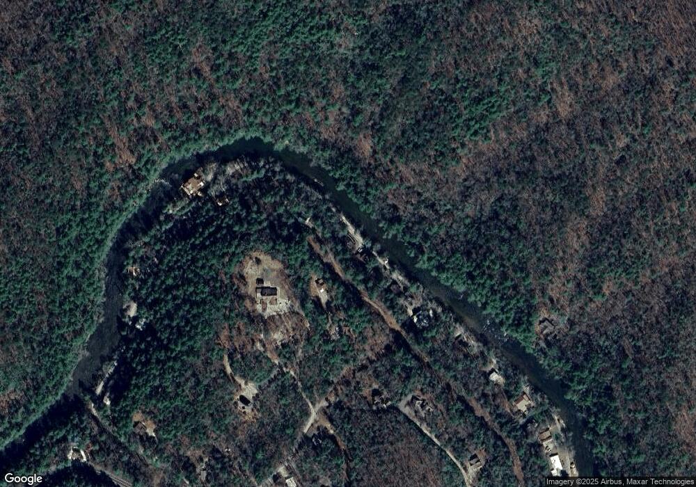
Map
Nearby Homes
- 40 Adelaide Trail
- 210 White Pine Acres Dr
- 916 Riverside Ln
- 7022 Aska Rd
- 55 River Bend Ln
- 283 River Bend Ln
- Lot 1 S Aska Rd
- LOT 68 Riverwalk On the Toccoa
- 80 Harrison & Ada Rd
- 80 Harrison and Ada Rd
- 671 Stover Knob Trail
- 556 Flat Creek Cir
- 250 Harrison and Ada Rd
- 100 Stanley Creek Rd
- 145 Rocky Top Rd
- 500 Harrison & Ada Rd
- 155 Shayla Dr
- 247 Toccoa Overlook Dr
- 540 Riverside Ln
- 40 Adelaide Dr
- 373 Adelaide Dr
- 574 Riverside Ln
- 155 Adelaide Dr
- L 4/5 Riverside Ln
- LOT28 Riverside Ln
- 27 Riverside Ln
- 19.5 Riverside Ln
- 36 Adelaide Dr
- 100 Adelaide Trail
- 600 Riverside Ln
- 148 Partin Road Adelaide Dr
- 153 Adelaide Dr
- 420 Riverside Ln
- 36 Adelaide Trail
- 0 Adelaide Trail
- 634 Riverside Ln
- 353 Riverside Ln
- 148 Partin Rd Adelaide