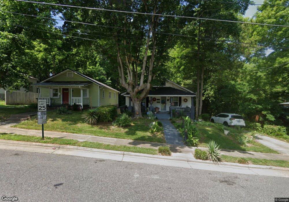
520 S Green St Statesville, NC 28677
Estimated Value: $96,000 - $187,000
2
Beds
1
Bath
1,256
Sq Ft
$113/Sq Ft
Est. Value
About This Home
This home is located at 520 S Green St, Statesville, NC 28677 and is currently estimated at $142,317, approximately $113 per square foot. 520 S Green St is a home located in Iredell County with nearby schools including Third Creek Elementary School, Third Creek Middle School, and Statesville High School.
Ownership History
Date
Name
Owned For
Owner Type
Purchase Details
Closed on
Mar 7, 2000
Sold by
Powell Gail L and Powell John H
Bought by
Powell John H and Powell Gail L
Current Estimated Value
Home Financials for this Owner
Home Financials are based on the most recent Mortgage that was taken out on this home.
Original Mortgage
$51,200
Outstanding Balance
$19,903
Interest Rate
10.35%
Estimated Equity
$122,414
Purchase Details
Closed on
Mar 1, 1987
Purchase Details
Closed on
Jan 1, 1984
Purchase Details
Closed on
Jun 1, 1982
Purchase Details
Closed on
Jun 1, 1926
Create a Home Valuation Report for This Property
The Home Valuation Report is an in-depth analysis detailing your home's value as well as a comparison with similar homes in the area
Home Values in the Area
Average Home Value in this Area
Purchase History
| Date | Buyer | Sale Price | Title Company |
|---|---|---|---|
| Powell John H | -- | -- | |
| -- | -- | -- | |
| -- | -- | -- | |
| -- | -- | -- | |
| -- | -- | -- |
Source: Public Records
Mortgage History
| Date | Status | Borrower | Loan Amount |
|---|---|---|---|
| Open | Powell John H | $51,200 |
Source: Public Records
Tax History Compared to Growth
Tax History
| Year | Tax Paid | Tax Assessment Tax Assessment Total Assessment is a certain percentage of the fair market value that is determined by local assessors to be the total taxable value of land and additions on the property. | Land | Improvement |
|---|---|---|---|---|
| 2024 | $344 | $61,730 | $15,000 | $46,730 |
| 2023 | $344 | $61,730 | $15,000 | $46,730 |
| 2022 | $115 | $30,080 | $6,000 | $24,080 |
| 2021 | $502 | $30,080 | $6,000 | $24,080 |
| 2020 | $502 | $30,080 | $6,000 | $24,080 |
| 2019 | $499 | $30,080 | $6,000 | $24,080 |
| 2018 | $512 | $33,680 | $7,000 | $26,680 |
| 2017 | $490 | $32,220 | $7,000 | $25,220 |
| 2016 | $490 | $32,220 | $7,000 | $25,220 |
| 2015 | $354 | $32,220 | $7,000 | $25,220 |
| 2014 | $344 | $32,600 | $7,000 | $25,600 |
Source: Public Records
Map
Nearby Homes
- 506 Broadway Ct
- 000 Broadway Ct
- 533 Broadway Ct
- 245 Garfield St
- 537 & 539 Broadway Ct
- 221, 225, & 227 Garfield St
- 445 Newton Ave
- 126 E Bell St
- 537 Falls St
- Lots 1-8 Lincoln St
- 322 Salisbury Rd
- 520 Margaret Dr
- 689 S Elm St
- 538 Salisbury Rd
- 695 S Elm St
- 621 E Sharpe St
- 539 Margaret Dr Unit 163+PT164
- 638 Old Salisbury Rd
- 603 Harmony Dr
- 320 S Oakwood Dr
- 524 S Green St
- 516 S Green St
- 506 Broadway Ct Unit 9
- 530 S Green St
- 481 S Green St
- 0 S Green St
- 249 Broadway Ct
- 230 E Bell St
- 507 Broadway Ct
- 534 S Green St Unit Upper
- 534 S Green St Unit 536
- 431 Harrison St
- 424 S Green St
- 309 Newton Ave
- 419 S Green St
- 228 E Bell St
- 540 S Green St
- 515 Broadway Ct
- 427 Harrison St
- 224 Broadway Ct