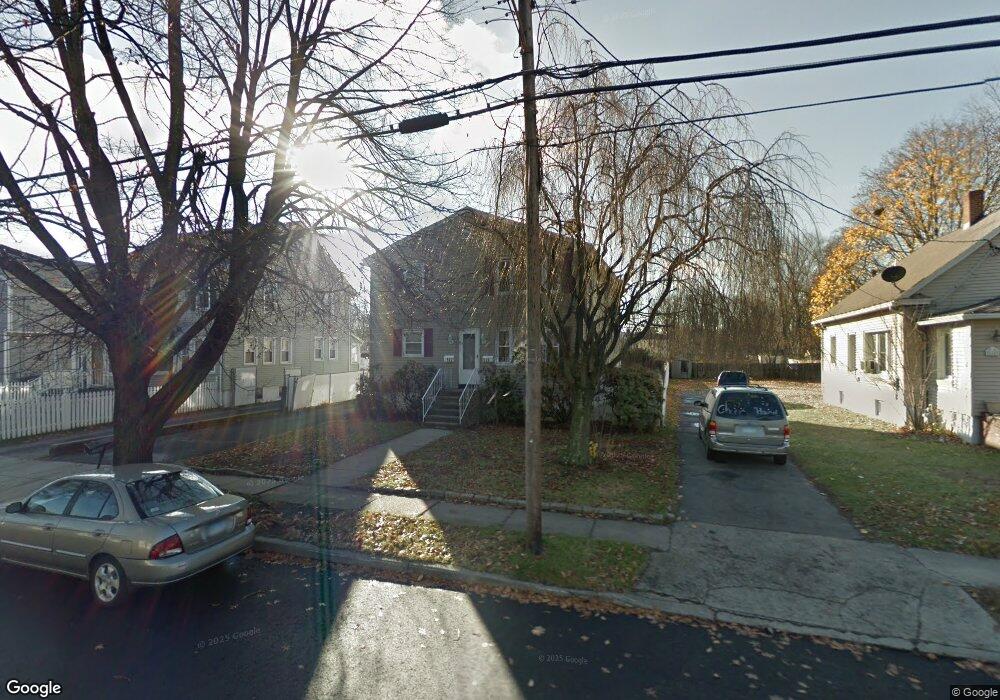
520 Sedgewick Ave Stratford, CT 06615
Stratford Center Historic District NeighborhoodEstimated Value: $446,591 - $544,000
6
Beds
2
Baths
2,464
Sq Ft
$201/Sq Ft
Est. Value
About This Home
This home is located at 520 Sedgewick Ave, Stratford, CT 06615 and is currently estimated at $495,648, approximately $201 per square foot. 520 Sedgewick Ave is a home located in Fairfield County with nearby schools including Stratford Academy - Johnson House, David Wooster Middle School, and Stratford High School.
Ownership History
Date
Name
Owned For
Owner Type
Purchase Details
Closed on
May 29, 2021
Sold by
Gassaroli Joseph J
Bought by
Joseph J Gessaroli Ret
Current Estimated Value
Purchase Details
Closed on
Apr 18, 1997
Sold by
Laltrella Diane
Bought by
Gessaroli Joseph J and Gessaroli Diane
Home Financials for this Owner
Home Financials are based on the most recent Mortgage that was taken out on this home.
Original Mortgage
$147,200
Interest Rate
7.76%
Mortgage Type
Unknown
Create a Home Valuation Report for This Property
The Home Valuation Report is an in-depth analysis detailing your home's value as well as a comparison with similar homes in the area
Home Values in the Area
Average Home Value in this Area
Purchase History
| Date | Buyer | Sale Price | Title Company |
|---|---|---|---|
| Joseph J Gessaroli Ret | -- | None Available | |
| Gessaroli Joseph J | $155,000 | -- |
Source: Public Records
Mortgage History
| Date | Status | Borrower | Loan Amount |
|---|---|---|---|
| Previous Owner | Gessaroli Joseph J | $140,900 | |
| Previous Owner | Gessaroli Joseph J | $147,200 |
Source: Public Records
Tax History
| Year | Tax Paid | Tax Assessment Tax Assessment Total Assessment is a certain percentage of the fair market value that is determined by local assessors to be the total taxable value of land and additions on the property. | Land | Improvement |
|---|---|---|---|---|
| 2025 | $6,869 | $170,870 | $58,800 | $112,070 |
| 2024 | $6,869 | $170,870 | $58,800 | $112,070 |
| 2023 | $6,869 | $170,870 | $58,800 | $112,070 |
| 2022 | $6,743 | $170,870 | $58,800 | $112,070 |
| 2021 | $6,744 | $170,870 | $58,800 | $112,070 |
| 2020 | $6,773 | $170,870 | $58,800 | $112,070 |
| 2019 | $6,173 | $154,840 | $42,490 | $112,350 |
| 2018 | $6,178 | $154,840 | $42,490 | $112,350 |
| 2017 | $6,189 | $154,840 | $42,490 | $112,350 |
| 2016 | $6,037 | $154,840 | $42,490 | $112,350 |
| 2015 | $5,726 | $154,840 | $42,490 | $112,350 |
| 2014 | $5,597 | $157,080 | $42,770 | $114,310 |
Source: Public Records
Map
Nearby Homes
- 19 Wooster Ave
- 425 Mckinley Ave
- 366 Columbus Ave
- 325 Mckinley Ave
- 265 Birdseye St
- 394 Harding Ave
- 120 Chelsea St
- 33 Sands Place
- 1260 Elm St
- 1462 South Ave
- 62 Roosevelt Ave
- 1596 Main St
- 79 Evelyn St
- 50 Birdseye St Unit 104
- 15 Harding Ave
- 25 Lindsley Place
- 1867 Main St
- 17 Miranda Ln
- 54 Vernon St
- 71 Oakland St
- 516 Sedgewick Ave
- 532 Sedgewick Ave
- 528 Sedgewick Ave
- 542 Sedgewick Ave
- 28 Yarwood St
- 503 Sedgewick Ave
- 141 Mcgrath Ct
- 36 Yarwood St
- 46 Yarwood St
- 560 Sedgewick Ave
- 560 Sedgewick Ave Unit 2
- 560 Sedgewick Ave Unit 1
- 149 Mcgrath Ct
- 131 Mcgrath Ct
- 151 Mcgrath Ct
- 139 Mcgrath Ct
- 519 Sedgewick Ave
- 56 Yarwood St
- 531 Sedgewick Ave
Your Personal Tour Guide
Ask me questions while you tour the home.