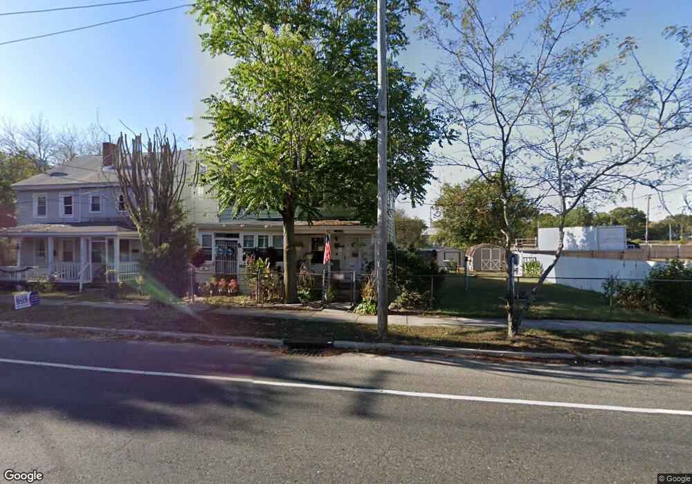
520 Sharp St Millville, NJ 08332
Estimated Value: $93,523 - $161,000
--
Bed
--
Bath
952
Sq Ft
$130/Sq Ft
Est. Value
About This Home
This home is located at 520 Sharp St, Millville, NJ 08332 and is currently estimated at $123,631, approximately $129 per square foot. 520 Sharp St is a home located in Cumberland County with nearby schools including R.D. Wood Elementary School, Lakeside Middle School, and Memorial High School.
Ownership History
Date
Name
Owned For
Owner Type
Purchase Details
Closed on
Jul 29, 2021
Sold by
Jdf Prop Mgmt Llc
Bought by
Huntington Associates Llc
Current Estimated Value
Purchase Details
Closed on
Aug 11, 2005
Sold by
Randanella John J
Bought by
Farabella Jody D
Home Financials for this Owner
Home Financials are based on the most recent Mortgage that was taken out on this home.
Original Mortgage
$69,000
Interest Rate
5.68%
Purchase Details
Closed on
Jun 2, 1995
Sold by
Caruso Roseanne and Eilenberg Lewis
Bought by
Randanella John J and Reed Kevin
Create a Home Valuation Report for This Property
The Home Valuation Report is an in-depth analysis detailing your home's value as well as a comparison with similar homes in the area
Home Values in the Area
Average Home Value in this Area
Purchase History
| Date | Buyer | Sale Price | Title Company |
|---|---|---|---|
| Huntington Associates Llc | $441,000 | Surety Title | |
| Farabella Jody D | $45,000 | -- | |
| Randanella John J | $24,700 | Continental Title Insurance |
Source: Public Records
Mortgage History
| Date | Status | Borrower | Loan Amount |
|---|---|---|---|
| Previous Owner | Farabella Jody D | $69,000 |
Source: Public Records
Tax History Compared to Growth
Tax History
| Year | Tax Paid | Tax Assessment Tax Assessment Total Assessment is a certain percentage of the fair market value that is determined by local assessors to be the total taxable value of land and additions on the property. | Land | Improvement |
|---|---|---|---|---|
| 2025 | $1,864 | $47,500 | $16,700 | $30,800 |
| 2024 | $1,864 | $47,500 | $16,700 | $30,800 |
| 2023 | $1,849 | $47,500 | $16,700 | $30,800 |
| 2022 | $1,801 | $47,500 | $16,700 | $30,800 |
| 2021 | $1,742 | $47,500 | $16,700 | $30,800 |
| 2020 | $1,713 | $47,500 | $16,700 | $30,800 |
| 2019 | $1,634 | $47,500 | $16,700 | $30,800 |
| 2018 | $1,600 | $47,500 | $16,700 | $30,800 |
| 2017 | $1,586 | $47,500 | $16,700 | $30,800 |
| 2016 | $1,566 | $47,500 | $16,700 | $30,800 |
| 2015 | $1,530 | $47,500 | $16,700 | $30,800 |
| 2014 | $1,533 | $47,500 | $16,700 | $30,800 |
Source: Public Records
Map
Nearby Homes
- 404 Sharp St N
- 402 Sharp St N
- 204 Sharp St
- 414 W Powell St
- 552 Columbia Ave
- 550 Columbia Ave
- 111 Mulford Ave
- 525 Dock St Unit B
- 525 Dock St
- 525 Dock St Unit A
- 3 Morningside Dr
- 709 & 707 Buck St
- 500 Columbia Ave
- 504 Columbia Ave
- 528 W Main St
- 10 E Broad St
- 525 W Main St
- 1103 Buck St
- 302 W Main St
- 502 N High St