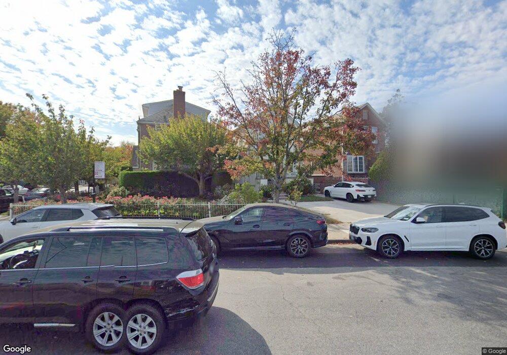
520 Shore Blvd Brooklyn, NY 11235
Manhattan Beach NeighborhoodEstimated Value: $1,464,579 - $1,918,000
--
Bed
--
Bath
2,048
Sq Ft
$806/Sq Ft
Est. Value
About This Home
This home is located at 520 Shore Blvd, Brooklyn, NY 11235 and is currently estimated at $1,650,895, approximately $806 per square foot. 520 Shore Blvd is a home located in Kings County with nearby schools including P.S. K225 - The Eileen E. Zaglin School, P.S. 195 Manhattan Beach, and Abraham Lincoln High School.
Ownership History
Date
Name
Owned For
Owner Type
Purchase Details
Closed on
Dec 10, 2021
Sold by
Kodsi Robert
Bought by
Norov Mark and Norov Rada
Current Estimated Value
Home Financials for this Owner
Home Financials are based on the most recent Mortgage that was taken out on this home.
Original Mortgage
$893,750
Outstanding Balance
$822,015
Interest Rate
3.11%
Mortgage Type
Purchase Money Mortgage
Estimated Equity
$828,880
Purchase Details
Closed on
Aug 4, 2016
Sold by
David Reiss As Trustee
Bought by
Kodsi Robert
Purchase Details
Closed on
Sep 3, 2011
Sold by
Reiss Mildred
Bought by
David Reiss Trustee and Irwin Reiss, Trustee
Create a Home Valuation Report for This Property
The Home Valuation Report is an in-depth analysis detailing your home's value as well as a comparison with similar homes in the area
Home Values in the Area
Average Home Value in this Area
Purchase History
| Date | Buyer | Sale Price | Title Company |
|---|---|---|---|
| Norov Mark | $1,375,000 | -- | |
| Kodsi Robert | $905,000 | -- | |
| David Reiss Trustee | -- | -- |
Source: Public Records
Mortgage History
| Date | Status | Borrower | Loan Amount |
|---|---|---|---|
| Open | Norov Mark | $893,750 |
Source: Public Records
Tax History Compared to Growth
Tax History
| Year | Tax Paid | Tax Assessment Tax Assessment Total Assessment is a certain percentage of the fair market value that is determined by local assessors to be the total taxable value of land and additions on the property. | Land | Improvement |
|---|---|---|---|---|
| 2025 | $12,522 | $82,980 | $22,140 | $60,840 |
| 2024 | $12,522 | $86,280 | $22,140 | $64,140 |
| 2023 | $11,963 | $99,000 | $22,140 | $76,860 |
| 2022 | $11,158 | $90,300 | $22,140 | $68,160 |
| 2021 | $11,713 | $86,460 | $22,140 | $64,320 |
| 2020 | $11,587 | $93,240 | $22,140 | $71,100 |
| 2019 | $10,868 | $92,460 | $22,140 | $70,320 |
| 2018 | $10,006 | $49,086 | $10,878 | $38,208 |
| 2017 | $9,495 | $46,579 | $12,198 | $34,381 |
| 2016 | $8,267 | $46,579 | $15,484 | $31,095 |
| 2015 | $4,613 | $45,882 | $21,377 | $24,505 |
| 2014 | $4,613 | $43,296 | $20,172 | $23,124 |
Source: Public Records
Map
Nearby Homes
- 4060 Ocean Ave
- 29 Exeter St
- 4094 Ocean Ave
- 61 Exeter St
- 17 Coleridge St
- 42 Beaumont St
- 4147 Ocean Ave
- 118 Girard St
- 59B Ide Ct
- 1625 Emmons Ave Unit 5D
- 1625 Emmons Ave Unit 6B
- 1625 Emmons Ave Unit 1R
- 1625 Emmons Ave Unit 4N
- 1625 Emmons Ave Unit 2Y
- 1625 Emmons Ave Unit 6T
- 1625 Emmons Ave Unit 1S
- 1625 Emmons Ave Unit 1F
- 132 Girard St
- 3360 Shore Pkwy Unit 6A
- 34 Amherst St