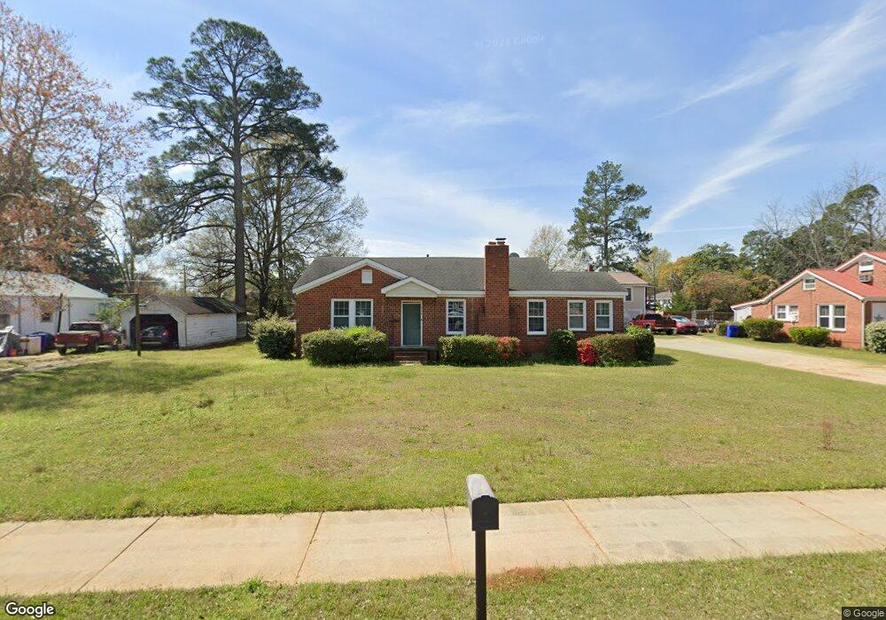
520 Sinquefield Cir Louisville, GA 30434
Estimated Value: $113,751 - $155,000
--
Bed
2
Baths
1,654
Sq Ft
$78/Sq Ft
Est. Value
About This Home
This home is located at 520 Sinquefield Cir, Louisville, GA 30434 and is currently estimated at $129,688, approximately $78 per square foot. 520 Sinquefield Cir is a home located in Jefferson County with nearby schools including Jefferson County High School and Thomas Jefferson Academy.
Ownership History
Date
Name
Owned For
Owner Type
Purchase Details
Closed on
May 26, 2010
Sold by
Hadden Murray W
Bought by
Manning Sebrina
Current Estimated Value
Home Financials for this Owner
Home Financials are based on the most recent Mortgage that was taken out on this home.
Original Mortgage
$72,659
Outstanding Balance
$48,457
Interest Rate
4.87%
Mortgage Type
FHA
Estimated Equity
$81,231
Purchase Details
Closed on
Jul 9, 2007
Sold by
Rhodes Linda H
Bought by
Hadden Murray W
Create a Home Valuation Report for This Property
The Home Valuation Report is an in-depth analysis detailing your home's value as well as a comparison with similar homes in the area
Home Values in the Area
Average Home Value in this Area
Purchase History
| Date | Buyer | Sale Price | Title Company |
|---|---|---|---|
| Manning Sebrina | $74,000 | -- | |
| Hadden Murray W | $36,500 | -- |
Source: Public Records
Mortgage History
| Date | Status | Borrower | Loan Amount |
|---|---|---|---|
| Open | Manning Sebrina | $72,659 |
Source: Public Records
Tax History Compared to Growth
Tax History
| Year | Tax Paid | Tax Assessment Tax Assessment Total Assessment is a certain percentage of the fair market value that is determined by local assessors to be the total taxable value of land and additions on the property. | Land | Improvement |
|---|---|---|---|---|
| 2024 | $818 | $21,513 | $2,800 | $18,713 |
| 2023 | $843 | $20,602 | $2,800 | $17,802 |
| 2022 | $569 | $18,177 | $2,800 | $15,377 |
| 2021 | $610 | $18,650 | $2,800 | $15,850 |
| 2020 | $618 | $18,862 | $2,800 | $16,062 |
| 2019 | $627 | $18,781 | $2,800 | $15,981 |
| 2018 | $650 | $19,129 | $2,800 | $16,329 |
| 2017 | $660 | $19,408 | $2,800 | $16,608 |
| 2016 | $608 | $19,675 | $2,800 | $16,875 |
| 2015 | -- | $19,439 | $2,800 | $16,639 |
| 2014 | -- | $20,382 | $2,800 | $17,582 |
| 2013 | -- | $20,214 | $2,800 | $17,414 |
Source: Public Records
Map
Nearby Homes
- 836 Mimosa Dr
- 315 Forest St
- 0 Laurel Dr
- 818 Walnut St
- 0 N Highway 1 Unit 10595910
- 0 N Highway 1 Unit 7642159
- 802 Mulberry St
- 0 Middle Ground Rd Unit 540363
- 0 Middle Ground Rd Unit 10497061
- 401 W Broad St
- 0 Georgia 24
- * U S Route 1
- 716 Screven St
- 0000 Pine St
- 470 Forrest Dr
- 311 E Broad St
- 605 Midville Rd
- 1052 Fairlane Dr
- 1163 Fairlane Dr
- 0000 Mcbride St
- 524 Sinquefield Cir
- 1025 Academy Dr
- 403 10th St
- 1030 Academy Dr
- 1040 Academy Dr
- 1001 Mimosa Dr
- 1026 Academy Dr
- 1039 Academy Dr
- 317 10th St
- 315 10th St
- 909 Mimosa Dr
- 10th 10th St
- 1026 Peachtree St
- 1068 Peachtree St
- 1024 Peachtree St
- 1020 Peachtree St
- 1034 Peachtree St
- 313 Cook St
- 1016 Peachtree St
- 308 Cook St