520 Stone Ridge St Spearfish, SD 57783
Estimated Value: $575,000 - $753,000
5
Beds
3
Baths
2,432
Sq Ft
$263/Sq Ft
Est. Value
About This Home
This home is located at 520 Stone Ridge St, Spearfish, SD 57783 and is currently estimated at $639,944, approximately $263 per square foot. 520 Stone Ridge St is a home located in Lawrence County with nearby schools including West Elementary School, Mountain View Elementary - 08, and Creekside Elementary School.
Ownership History
Date
Name
Owned For
Owner Type
Purchase Details
Closed on
Feb 27, 2009
Sold by
Papka Daniel R
Bought by
Bergan Ted C
Current Estimated Value
Home Financials for this Owner
Home Financials are based on the most recent Mortgage that was taken out on this home.
Original Mortgage
$242,250
Outstanding Balance
$153,711
Interest Rate
5.09%
Estimated Equity
$486,233
Create a Home Valuation Report for This Property
The Home Valuation Report is an in-depth analysis detailing your home's value as well as a comparison with similar homes in the area
Home Values in the Area
Average Home Value in this Area
Purchase History
| Date | Buyer | Sale Price | Title Company |
|---|---|---|---|
| Bergan Ted C | $255,000 | -- |
Source: Public Records
Mortgage History
| Date | Status | Borrower | Loan Amount |
|---|---|---|---|
| Open | Bergan Ted C | $242,250 |
Source: Public Records
Tax History
| Year | Tax Paid | Tax Assessment Tax Assessment Total Assessment is a certain percentage of the fair market value that is determined by local assessors to be the total taxable value of land and additions on the property. | Land | Improvement |
|---|---|---|---|---|
| 2025 | $4,841 | $569,350 | $119,680 | $449,670 |
| 2024 | $4,841 | $515,590 | $109,680 | $405,910 |
| 2023 | $4,512 | $442,790 | $109,680 | $333,110 |
| 2022 | $4,366 | $392,790 | $59,680 | $333,110 |
| 2021 | $4,011 | $392,790 | $0 | $0 |
| 2019 | $3,932 | $337,270 | $59,680 | $277,590 |
| 2018 | $3,934 | $334,800 | $0 | $0 |
| 2017 | $3,655 | $334,800 | $0 | $0 |
| 2016 | $3,854 | $334,800 | $0 | $0 |
| 2015 | $3,854 | $310,530 | $0 | $0 |
| 2014 | $3,930 | $311,170 | $0 | $0 |
| 2013 | -- | $287,030 | $0 | $0 |
Source: Public Records
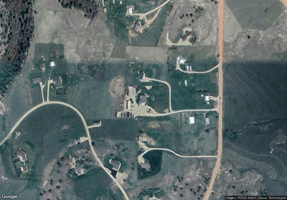
Map
Nearby Homes
- TBD Maddison Ln
- 243 Maddison Ln
- 1423 W Charles St
- TBD Lot 7A W Charles St
- 1221 Charles St
- 801 N Yale St
- 801 N Other Unit Yale St.
- 835 W Hill St
- 1014 Spartan Dr
- 840 W Jackson Blvd
- 640 University St
- 842 Harvard St
- 1219 Harmony Cir
- 731 N Ames St
- 735 N Ames St
- 731 & 735 N Ames St
- 1205 Silverbrook Ln
- 1320 Silverbrook Ln
- 1318 Silverbrook Ln
- 314 N 5th St
- 510 Stone Ridge St
- Tr 35A Aster Road None
- 535 N Tinton Rd
- 525 N Tinton Rd
- 425 N Tinton Rd
- 1530 Buena Vista Rd
- 1425 Hill St Unit 1425 Hill Street
- 1425 Hill St Unit Street
- 1425 Hill St
- 1435 Hill St
- 1540 Buena Vista Rd
- 1535 Buena Vista Rd
- 0 Tbd Tinton Rd
- 415 N Tinton Rd
- 1550 Buena Vista Rd
- 1515 Hill St
- 1515 Buena Vista Rd
- 410 N Tinton Rd
- 1545 Buena Vista Rd
- Lot 2 Blk 5 Tinton Rd
Your Personal Tour Guide
Ask me questions while you tour the home.