520 Summit Dr Unit 117 Whittier, NC 28789
Estimated Value: $670,000 - $1,007,000
4
Beds
5
Baths
3,691
Sq Ft
$225/Sq Ft
Est. Value
About This Home
This home is located at 520 Summit Dr Unit 117, Whittier, NC 28789 and is currently estimated at $830,847, approximately $225 per square foot. 520 Summit Dr Unit 117 is a home located in Swain County with nearby schools including Swain County Middle School, Swain County West Elementary School, and Swain County High School.
Ownership History
Date
Name
Owned For
Owner Type
Purchase Details
Closed on
Jun 23, 2021
Sold by
Ciociola William Steven and Blasey Ciociola Jill
Bought by
Ciociola William Steven and Blasey Ciociola Jill
Current Estimated Value
Purchase Details
Closed on
Apr 7, 2021
Sold by
Middlebrooks William E and Middlebrooks Mary A
Bought by
Ciociola William Steven and Balsey Ciociola Jill
Home Financials for this Owner
Home Financials are based on the most recent Mortgage that was taken out on this home.
Original Mortgage
$491,250
Outstanding Balance
$442,824
Interest Rate
2.9%
Mortgage Type
New Conventional
Estimated Equity
$388,023
Purchase Details
Closed on
Mar 10, 2015
Sold by
Middlebrooks William E and Middlebrooks Mary A
Bought by
Middlebrooks William E and Middlebrooks Mary A
Create a Home Valuation Report for This Property
The Home Valuation Report is an in-depth analysis detailing your home's value as well as a comparison with similar homes in the area
Home Values in the Area
Average Home Value in this Area
Purchase History
| Date | Buyer | Sale Price | Title Company |
|---|---|---|---|
| Ciociola William Steven | -- | None Available | |
| Ciociola William Steven | $655,000 | None Available | |
| Ciociola William Steven | $310 | None Listed On Document | |
| Middlebrooks William E | -- | None Available |
Source: Public Records
Mortgage History
| Date | Status | Borrower | Loan Amount |
|---|---|---|---|
| Open | Ciociola William Steven | $491,250 | |
| Closed | Ciociola William Steven | $491,250 |
Source: Public Records
Tax History Compared to Growth
Tax History
| Year | Tax Paid | Tax Assessment Tax Assessment Total Assessment is a certain percentage of the fair market value that is determined by local assessors to be the total taxable value of land and additions on the property. | Land | Improvement |
|---|---|---|---|---|
| 2025 | $2,564 | $597,340 | $65,250 | $532,090 |
| 2024 | $2,564 | $597,340 | $65,250 | $532,090 |
| 2023 | $2,265 | $597,340 | $65,250 | $532,090 |
| 2022 | $2,265 | $597,340 | $65,250 | $532,090 |
| 2021 | $2,265 | $597,340 | $0 | $0 |
| 2020 | $2,035 | $544,330 | $125,000 | $419,330 |
| 2019 | $2,035 | $544,330 | $125,000 | $419,330 |
| 2018 | $2,035 | $544,330 | $125,000 | $419,330 |
| 2017 | $2,035 | $544,330 | $125,000 | $419,330 |
| 2016 | $2,035 | $544,330 | $125,000 | $419,330 |
| 2015 | -- | $544,330 | $125,000 | $419,330 |
| 2014 | -- | $544,330 | $125,000 | $419,330 |
Source: Public Records
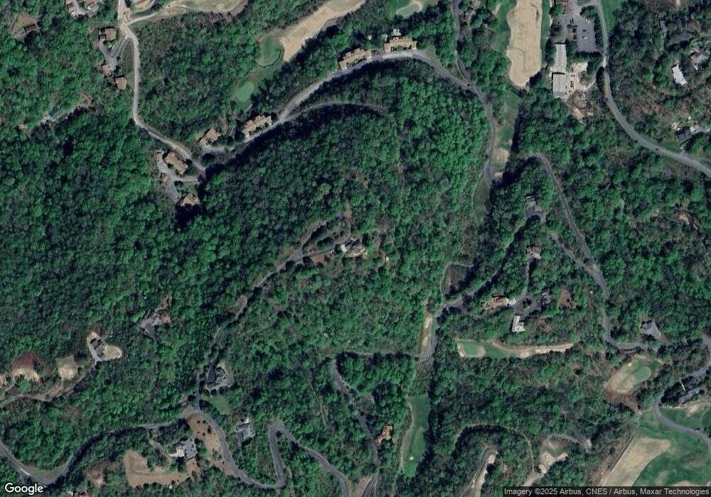
Map
Nearby Homes
- 295 Sawgrass Dr Unit 3
- 295 Saw Grass Dr
- 76 Sawgrass #3
- 604 Saw Grass Dr
- Lot 2 Section 6 Wild Turkey Trail
- 46 Cypress Point
- 604 Sawgrass Dr Unit 6
- 175 Eagle Ridge Cir
- Lot 22 Eagle Ridge Cir
- 120 White Oak Point
- 120 White Oak Pointe
- 151 Country Club Dr
- 151 Country Club Dr Unit 3
- 50 Pine Bluff
- 0 Sunset Ridge
- 24 Pine Bluff Condo Unit 18
- 24 Pine Bluff Unit 17
- 0 Chickadee Trail Unit 61
- 187 Oak Ridge Ln
- 0 Chickadee Trail Unit 26040015
- 520 Summit Dr
- Lot 104 Silverado Trail
- 0 Silverado Trail
- 130 Silverado Trail
- Lot 90 Silverado Trail
- Lot 90 Silverado Trail Unit 90
- 2 Oak View Rd
- 293 Sawgrass Dr Unit 2
- 45 Riviera Ct
- 226 Sawgrass Dr Unit 1
- LOT 120A Summit Dr
- 86 Riviera Ct
- 78 Riviera Ct
- 293 Sawgrass Dr #2
- 94 Riviera Ct
- 240 Sawgrass Dr Unit 2
- 326 Summit Dr
- 50 Riviera Ct
- 84 Silverado Trail