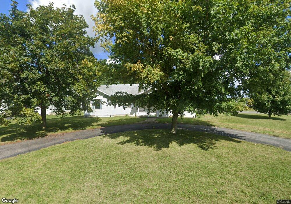
520 Sunset Dr Upper Sandusky, OH 43351
Estimated Value: $282,000 - $367,000
About This Home
This home is located at 520 Sunset Dr, Upper Sandusky, OH 43351 and is currently estimated at $314,096, approximately $192 per square foot. 520 Sunset Dr is a home located in Wyandot County with nearby schools including Upper Sandusky High School and St. Peter Elementary School.
Ownership History
We collect this data history from publicly available records. To have your information removed, we recommend requesting removal directly through your county’s website.
Purchase Details
Home Financials for this Owner
Home Financials are based on the most recent Mortgage that was taken out on this home.Home Values in the Area
Average Home Value in this Area
Purchase History
We collect this data history from publicly available records. To have your information removed, we recommend requesting removal directly through your county’s website.
| Date | Buyer | Sale Price | Title Company |
|---|---|---|---|
| $175,000 | None Available |
Mortgage History
We collect this data history from publicly available records. To have your information removed, we recommend requesting removal directly through your county’s website.
| Date | Status | Borrower | Loan Amount |
|---|---|---|---|
| Open | $175,000 |
Tax History
We collect this data history from publicly available records. To have your information removed, we recommend requesting removal directly through your county’s website.
| Year | Tax Paid | Tax Assessment Tax Assessment Total Assessment is a certain percentage of the fair market value that is determined by local assessors to be the total taxable value of land and additions on the property. | Land | Improvement |
|---|---|---|---|---|
| 2025 | $2,729 | $90,710 | $11,750 | $78,960 |
| 2024 | $2,449 | $76,980 | $9,760 | $67,220 |
| 2023 | $2,449 | $76,980 | $9,760 | $67,220 |
| 2022 | $2,449 | $61,250 | $8,130 | $53,120 |
| 2021 | $2,040 | $61,250 | $8,130 | $53,120 |
| 2020 | $2,040 | $61,250 | $8,130 | $53,120 |
| 2019 | $2,036 | $61,250 | $8,130 | $53,120 |
| 2018 | $1,549 | $56,210 | $7,410 | $48,800 |
| 2017 | $1,574 | $56,210 | $7,410 | $48,800 |
| 2016 | $1,473 | $56,210 | $7,410 | $48,800 |
| 2015 | -- | $54,240 | $7,410 | $46,830 |
| 2014 | -- | $54,240 | $7,410 | $46,830 |
| 2013 | -- | $54,240 | $7,410 | $46,830 |
Map
- 575 Sunset Dr
- 903 N Warpole St
- 512 N 7th St
- 505 N 8th St
- 479 N 5th St
- 386 W Finley St
- 344 W Walker St
- 131 N Hazel St
- 337 W Walker St
- 116 E Walker St
- 128 N 4th St
- 134 S 8th St
- 120, 140 & 160 Karcher Dr Unit 120, 140 & 160
- 303 W Johnson St
- 431 W Johnson St
- 9768 County Highway 111
- 123 E Johnson St
- 326 S 8th St
- 955 Greenbrier Rd
- 123 Rivers Edge Ln
- 0 Lot (1) On Sunset Dr
- 0 Sunset Drive Lot 2 St Unit H136384
- 530 Sunset Dr
- 0 Polaris Drive and Sunset Drive Lot22b and 23b
- 570 Glen Haven Rd
- 540 Sunset Dr
- 609 Polaris Dr
- 611 Polaris Dr
- 607 Polaris Dr
- 550 Sunset Dr
- 555 Sunset Dr
- 560 Glen Haven Rd
- 864 Terrace Dr
- 603 Polaris Dr
- 860 Terrace Dr
- 565 Glen Haven Rd
- 560 Sunset Dr
- 602 Polaris Dr
- 858 Terrace Dr
- 550 Glen Haven Rd
Ask me questions while you tour the home.