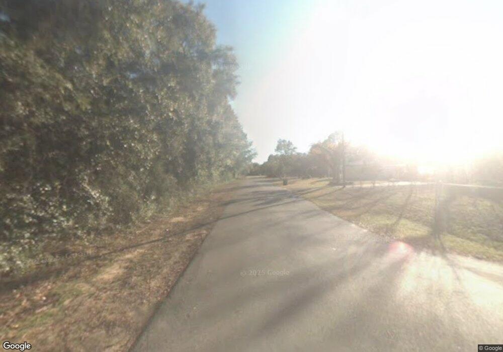
520 Tall Pines Ave Crestview, FL 32539
Estimated Value: $282,000 - $380,000
2
Beds
3
Baths
1,532
Sq Ft
$218/Sq Ft
Est. Value
About This Home
This home is located at 520 Tall Pines Ave, Crestview, FL 32539 and is currently estimated at $333,544, approximately $217 per square foot. 520 Tall Pines Ave is a home located in Okaloosa County with nearby schools including Baker School.
Ownership History
Date
Name
Owned For
Owner Type
Purchase Details
Closed on
Jan 31, 2022
Sold by
Anne Kosturock Ashley
Bought by
Thomas Christopher Jacob
Current Estimated Value
Purchase Details
Closed on
Jan 17, 2019
Sold by
Hughes Terry E and Hughes Terry Elmer
Bought by
Kosturock Thomas Christopher J and Kosturock Thomas Ashley
Home Financials for this Owner
Home Financials are based on the most recent Mortgage that was taken out on this home.
Original Mortgage
$255,375
Interest Rate
4.7%
Mortgage Type
VA
Purchase Details
Closed on
Apr 4, 2014
Sold by
Hughes Terry Elmer
Bought by
Hughes Larry Ray
Create a Home Valuation Report for This Property
The Home Valuation Report is an in-depth analysis detailing your home's value as well as a comparison with similar homes in the area
Purchase History
| Date | Buyer | Sale Price | Title Company |
|---|---|---|---|
| Thomas Christopher Jacob | -- | None Listed On Document | |
| Kosturock Thomas Christopher J | $250,000 | First Natl Land Title Co Inc | |
| Hughes Larry Ray | -- | Attorney | |
| Hughes Terry Elmer | -- | Attorney |
Source: Public Records
Mortgage History
| Date | Status | Borrower | Loan Amount |
|---|---|---|---|
| Previous Owner | Kosturock Thomas Christopher J | $255,375 |
Source: Public Records
Tax History Compared to Growth
Tax History
| Year | Tax Paid | Tax Assessment Tax Assessment Total Assessment is a certain percentage of the fair market value that is determined by local assessors to be the total taxable value of land and additions on the property. | Land | Improvement |
|---|---|---|---|---|
| 2025 | $1,655 | $199,541 | -- | -- |
| 2024 | $1,599 | $193,917 | -- | -- |
| 2023 | $1,599 | $188,269 | $0 | $0 |
| 2022 | $1,555 | $182,785 | $0 | $0 |
| 2021 | $1,552 | $177,461 | $0 | $0 |
| 2020 | $1,508 | $175,011 | $27,006 | $148,005 |
| 2019 | $1,748 | $161,055 | $27,006 | $134,049 |
| 2018 | $1,712 | $155,558 | $0 | $0 |
| 2017 | $1,657 | $147,499 | $0 | $0 |
| 2016 | $1,612 | $144,650 | $0 | $0 |
| 2015 | $1,166 | $133,158 | $0 | $0 |
| 2014 | $1,170 | $132,101 | $0 | $0 |
Source: Public Records
Map
Nearby Homes
- 426 Fox Ln
- 4194 Log Lake Rd
- o Woodpecker Ln
- 00 Log Lake Rd
- 4444 Sundance Way
- 10+ AC Broxson Rd
- 330 Dove Run Rd
- 548 Pecan Ln
- 4339 Cooper Ln
- 0 Glenda Dr Unit 992338
- 8.5 Acres Lyons Place
- 17 Acres Lyons Place
- TBD Main St
- 4780 Griffith Rd
- 44 Interstate 10
- 0 U S 90
- 12405 U S 90
- Parcel C-2 Wildlife Rd
- Parcel B-2 Wildlife Rd
- 4294 Nap Knob
