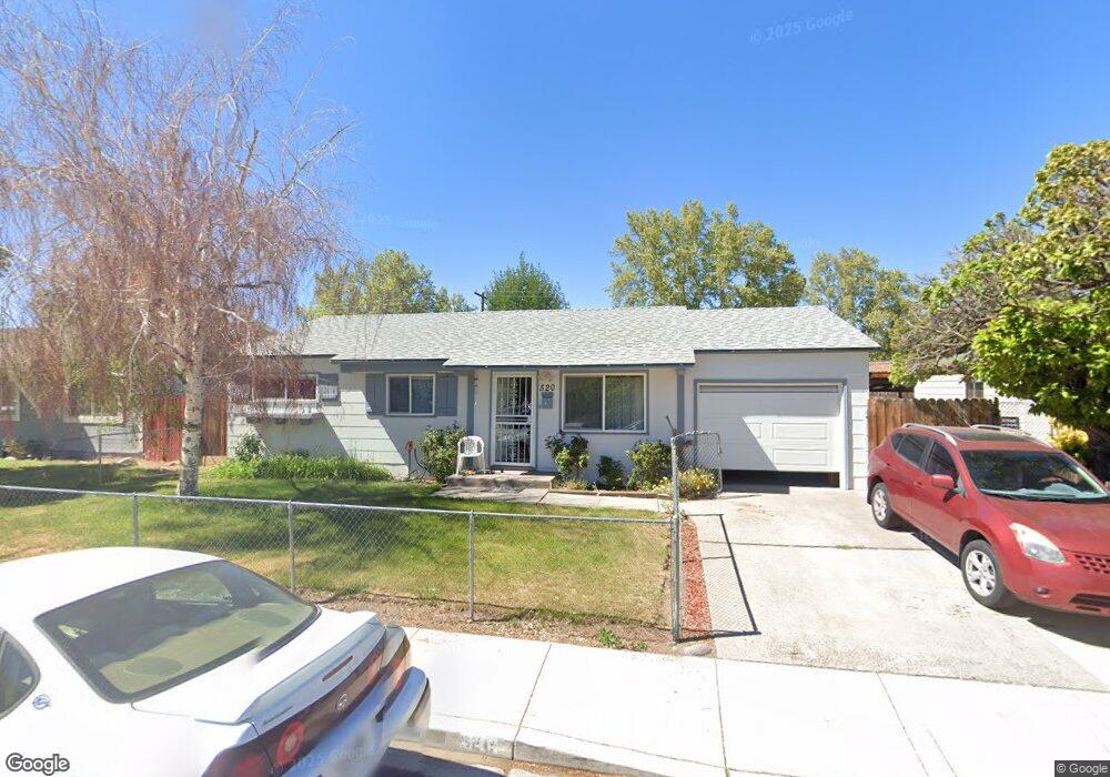
520 Tasker Way Sparks, NV 89431
McCarran Boulevard-Probasco NeighborhoodEstimated Value: $370,085 - $401,000
3
Beds
1
Bath
1,044
Sq Ft
$374/Sq Ft
Est. Value
About This Home
This home is located at 520 Tasker Way, Sparks, NV 89431 and is currently estimated at $390,771, approximately $374 per square foot. 520 Tasker Way is a home located in Washoe County with nearby schools including Florence Drake Elementary School, George L Dilworth Middle School, and Sparks High School.
Ownership History
Date
Name
Owned For
Owner Type
Purchase Details
Closed on
Nov 23, 2011
Sold by
Busch Richard F
Bought by
Busch Misty R
Current Estimated Value
Purchase Details
Closed on
Jun 9, 2009
Sold by
County Of Washoe
Bought by
Berrum Bill
Create a Home Valuation Report for This Property
The Home Valuation Report is an in-depth analysis detailing your home's value as well as a comparison with similar homes in the area
Home Values in the Area
Average Home Value in this Area
Purchase History
| Date | Buyer | Sale Price | Title Company |
|---|---|---|---|
| Busch Misty R | -- | None Available | |
| Berrum Bill | -- | None Available |
Source: Public Records
Tax History
| Year | Tax Paid | Tax Assessment Tax Assessment Total Assessment is a certain percentage of the fair market value that is determined by local assessors to be the total taxable value of land and additions on the property. | Land | Improvement |
|---|---|---|---|---|
| 2026 | -- | $49,121 | $34,090 | $15,031 |
| 2024 | $781 | $44,663 | $30,065 | $14,598 |
| 2023 | $724 | $44,826 | $31,325 | $13,501 |
| 2022 | $672 | $37,179 | $26,180 | $10,999 |
| 2021 | $622 | $28,691 | $17,955 | $10,736 |
| 2020 | $584 | $27,481 | $16,940 | $10,541 |
| 2019 | $556 | $25,845 | $15,890 | $9,955 |
| 2018 | $532 | $21,284 | $11,725 | $9,559 |
| 2017 | $510 | $19,786 | $10,395 | $9,391 |
| 2016 | $497 | $18,763 | $9,345 | $9,418 |
| 2015 | $496 | $16,942 | $7,700 | $9,242 |
| 2014 | $482 | $15,157 | $6,440 | $8,717 |
| 2013 | -- | $12,779 | $4,270 | $8,509 |
Source: Public Records
Map
Nearby Homes
Your Personal Tour Guide
Ask me questions while you tour the home.