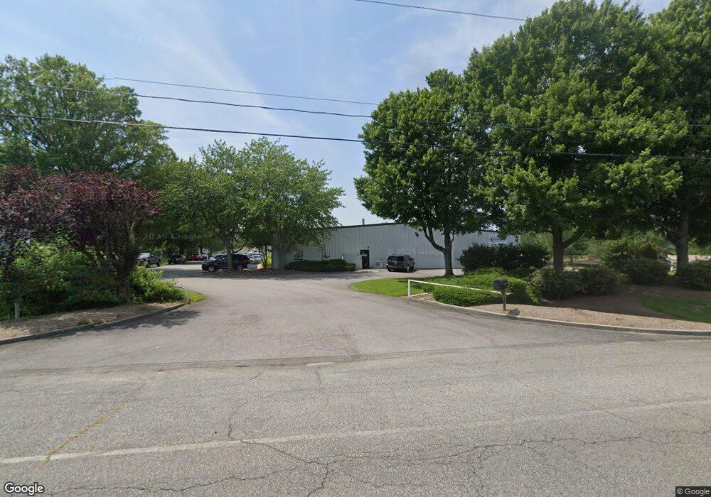
520 Thompson Creek Rd Stevensville, MD 21666
Estimated Value: $1,947,248
--
Bed
--
Bath
20,000
Sq Ft
$97/Sq Ft
Est. Value
About This Home
This home is located at 520 Thompson Creek Rd, Stevensville, MD 21666 and is currently estimated at $1,947,248, approximately $97 per square foot. 520 Thompson Creek Rd is a home located in Queen Anne's County with nearby schools including Kent Island Elementary School, Bayside Elementary School, and Matapeake Middle School.
Ownership History
Date
Name
Owned For
Owner Type
Purchase Details
Closed on
Sep 23, 2016
Sold by
Thompson Creek Re Holdings Llc
Bought by
Creek Holdings Llc
Current Estimated Value
Home Financials for this Owner
Home Financials are based on the most recent Mortgage that was taken out on this home.
Original Mortgage
$960,000
Outstanding Balance
$766,811
Interest Rate
3.43%
Mortgage Type
Commercial
Estimated Equity
$1,180,437
Purchase Details
Closed on
May 15, 2007
Sold by
Wuest Ernest F and Wuest Ernest F Claire S
Bought by
Thompson Creek Re Holdings Llc
Purchase Details
Closed on
Dec 31, 2006
Sold by
Wuest Ernest F and Wuest Ernest F Claire S
Bought by
Thompson Creek Re Holdings Llc
Purchase Details
Closed on
Oct 18, 1996
Sold by
Ploss Family Llc
Bought by
Wuest Ernest F and Wuest Ernest F Claire S
Create a Home Valuation Report for This Property
The Home Valuation Report is an in-depth analysis detailing your home's value as well as a comparison with similar homes in the area
Home Values in the Area
Average Home Value in this Area
Purchase History
| Date | Buyer | Sale Price | Title Company |
|---|---|---|---|
| Creek Holdings Llc | $1,200,000 | None Available | |
| Thompson Creek Re Holdings Llc | -- | -- | |
| Thompson Creek Re Holdings Llc | -- | -- | |
| Wuest Ernest F | $425,000 | -- |
Source: Public Records
Mortgage History
| Date | Status | Borrower | Loan Amount |
|---|---|---|---|
| Open | Creek Holdings Llc | $960,000 |
Source: Public Records
Tax History Compared to Growth
Tax History
| Year | Tax Paid | Tax Assessment Tax Assessment Total Assessment is a certain percentage of the fair market value that is determined by local assessors to be the total taxable value of land and additions on the property. | Land | Improvement |
|---|---|---|---|---|
| 2025 | $9,762 | $1,160,333 | $0 | $0 |
| 2024 | $9,352 | $1,138,067 | $0 | $0 |
| 2023 | $8,980 | $1,115,800 | $468,000 | $647,800 |
| 2022 | $8,725 | $1,115,800 | $468,000 | $647,800 |
| 2021 | $8,618 | $1,115,800 | $468,000 | $647,800 |
| 2020 | $8,700 | $1,144,900 | $526,500 | $618,400 |
| 2019 | $7,625 | $1,032,733 | $0 | $0 |
| 2018 | $6,549 | $920,567 | $0 | $0 |
| 2017 | $7,753 | $808,400 | $0 | $0 |
| 2016 | -- | $780,700 | $0 | $0 |
| 2015 | $7,790 | $753,000 | $0 | $0 |
| 2014 | $7,790 | $725,300 | $0 | $0 |
Source: Public Records
Map
Nearby Homes
- 1 UNIT 2 Compass Cir
- 241 Jessica Lyn Ave
- 122 E Main St
- 111 Keenan Way
- 119 Keenan Way
- 1839 Harbor Dr
- 858 Moorings Cir Unit 11
- 1757 Harbor Dr
- 736 Moorings Cir Unit 35
- 515 Love Point Rd
- 349 Topside Dr
- 312 Topside Dr Unit 223
- 102 Bobbitt Ct
- 298 Moorings Cir
- 1870 Harbor Dr
- 0 Harbor Dr
- 619 Love Point Rd
- 1906 Harbor Dr
- 1916 Stevens Dr
- 2653 Cox Neck Rd
- 528 Thompson Creek Rd
- 349 Mainsail Dr
- 343 Mainsail Dr
- 534 Thompson Creek Rd
- 1570 Marion Quimby Dr
- 1323 Butterworth Ct Unit F-5
- 1323 Butterworth Ct
- 337 Mainsail Dr
- 1317 Butterworth Ct Unit F-4
- 1317 Butterworth Ct
- 103 Mainsail Dr
- 1311 Butterworth Ct
- 1311 Butterworth Ct Unit F-3
- 1307 Butterworth Ct
- 107 Mainsail Dr
- 1303 Butterworth Ct
- 331 Mainsail Dr
- 1111 Butterworth Ct
- 105 Creeks End Ln
- 113 Mainsail Dr