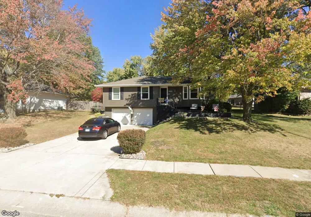
520 Vivian St Liberty, MO 64068
Estimated Value: $300,074 - $315,000
3
Beds
3
Baths
1,200
Sq Ft
$255/Sq Ft
Est. Value
About This Home
This home is located at 520 Vivian St, Liberty, MO 64068 and is currently estimated at $305,519, approximately $254 per square foot. 520 Vivian St is a home located in Clay County with nearby schools including Manor Hill Elementary School, Liberty Middle School, and Liberty High School.
Ownership History
Date
Name
Owned For
Owner Type
Purchase Details
Closed on
Sep 23, 2009
Sold by
Detty Carrie R and Detty Lawrence Alvin
Bought by
Hawes John E and Hawes Helen M
Current Estimated Value
Purchase Details
Closed on
Nov 19, 2001
Sold by
Allen Charles William and Allen Cathy J
Bought by
Honeycutt Carrie R
Home Financials for this Owner
Home Financials are based on the most recent Mortgage that was taken out on this home.
Original Mortgage
$109,250
Interest Rate
6.54%
Create a Home Valuation Report for This Property
The Home Valuation Report is an in-depth analysis detailing your home's value as well as a comparison with similar homes in the area
Home Values in the Area
Average Home Value in this Area
Purchase History
| Date | Buyer | Sale Price | Title Company |
|---|---|---|---|
| Hawes John E | -- | Integrity Title | |
| Honeycutt Carrie R | -- | Realty Title Company |
Source: Public Records
Mortgage History
| Date | Status | Borrower | Loan Amount |
|---|---|---|---|
| Previous Owner | Honeycutt Carrie R | $109,250 |
Source: Public Records
Tax History Compared to Growth
Tax History
| Year | Tax Paid | Tax Assessment Tax Assessment Total Assessment is a certain percentage of the fair market value that is determined by local assessors to be the total taxable value of land and additions on the property. | Land | Improvement |
|---|---|---|---|---|
| 2025 | $2,880 | $41,000 | -- | -- |
| 2024 | $2,880 | $37,450 | -- | -- |
| 2023 | $2,929 | $37,450 | $0 | $0 |
| 2022 | $2,522 | $31,830 | $0 | $0 |
| 2021 | $2,502 | $31,825 | $3,800 | $28,025 |
| 2020 | $2,260 | $27,000 | $0 | $0 |
| 2019 | $2,260 | $27,000 | $0 | $0 |
| 2018 | $2,196 | $25,760 | $0 | $0 |
| 2017 | $2,175 | $25,760 | $3,800 | $21,960 |
| 2016 | $2,175 | $25,760 | $3,800 | $21,960 |
| 2015 | $2,176 | $25,760 | $3,800 | $21,960 |
| 2014 | $2,085 | $24,490 | $3,800 | $20,690 |
Source: Public Records
Map
Nearby Homes
- 1608 Ray St
- 507 Vivian St
- 977 Wellington Way
- 465 Lilly Ln
- 1601 Johnston St
- 457 Lilly Ln
- 1505 Glen Brook Ln
- 507 Lauren St
- 429 Lilly Ln
- 215 Grant St
- 1030 Maple Woods Dr
- 1588 Columbine Ct
- 17 Main Ct
- 819 S Main St
- 913 S Missouri St
- 753 Todd Ct
- 605 Reed St
- 1904 Shirley Ct
- 1304 Wellington Way
- 1327 Easton Ct