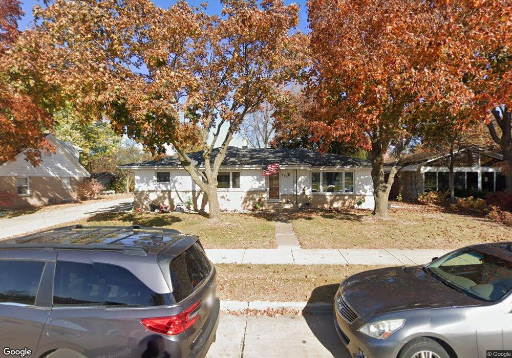
520 W Ann St Kaukauna, WI 54130
Estimated Value: $279,000 - $330,060
4
Beds
1
Bath
1,868
Sq Ft
$169/Sq Ft
Est. Value
About This Home
This home is located at 520 W Ann St, Kaukauna, WI 54130 and is currently estimated at $315,015, approximately $168 per square foot. 520 W Ann St is a home located in Outagamie County with nearby schools including River View School, Kaukauna High School, and New Directions Learning Community.
Ownership History
Date
Name
Owned For
Owner Type
Purchase Details
Closed on
Sep 14, 2011
Sold by
Richard H Van Zeeland Irrevoc Real Estat
Bought by
Hietpas Daniel M
Current Estimated Value
Purchase Details
Closed on
May 12, 2008
Sold by
Vanzeeland Richard and Van Zeeland Elizabeth
Bought by
Vanzeeland Richard H
Purchase Details
Closed on
Apr 29, 2008
Sold by
Vanzeeland Richard
Bought by
Richard H Van Zeeland Irrevoc Real Estat
Create a Home Valuation Report for This Property
The Home Valuation Report is an in-depth analysis detailing your home's value as well as a comparison with similar homes in the area
Home Values in the Area
Average Home Value in this Area
Purchase History
| Date | Buyer | Sale Price | Title Company |
|---|---|---|---|
| Hietpas Daniel M | $138,400 | -- | |
| Vanzeeland Richard H | $80,600 | -- | |
| Richard H Van Zeeland Irrevoc Real Estat | $88,100 | -- |
Source: Public Records
Tax History Compared to Growth
Tax History
| Year | Tax Paid | Tax Assessment Tax Assessment Total Assessment is a certain percentage of the fair market value that is determined by local assessors to be the total taxable value of land and additions on the property. | Land | Improvement |
|---|---|---|---|---|
| 2023 | $3,839 | $202,400 | $28,600 | $173,800 |
| 2022 | $3,591 | $202,400 | $28,600 | $173,800 |
| 2021 | $3,408 | $202,400 | $28,600 | $173,800 |
| 2020 | $3,227 | $146,600 | $22,100 | $124,500 |
| 2019 | $3,219 | $146,600 | $22,100 | $124,500 |
| 2018 | $3,247 | $146,600 | $22,100 | $124,500 |
| 2017 | $3,251 | $146,600 | $22,100 | $124,500 |
| 2016 | $3,096 | $146,600 | $22,100 | $124,500 |
| 2015 | $3,112 | $146,600 | $22,100 | $124,500 |
| 2014 | $3,098 | $146,600 | $22,100 | $124,500 |
| 2013 | $3,121 | $146,600 | $22,100 | $124,500 |
Source: Public Records
Map
Nearby Homes
- 631 Saunders Rd
- 3005 Crooks Ave
- 3051 Crooks Ave
- 3290 Crooks Ave
- 506 E Ann St
- 510 E Ann St
- 2800 Crooks Ave
- 2724 Crooks Ave
- 2716 Crooks Ave
- 2712 Crooks Ave
- 2708 Crooks Ave
- 2704 Crooks Ave
- 3401 Crooks Ave
- 3201 Crooks Ave
- 3125 Crooks Ave
- 3055 Crooks Ave
- 2701 Crooks Ave
- 2705 Crooks Ave
- 2709 Crooks Ave
- 2713 Crooks Ave