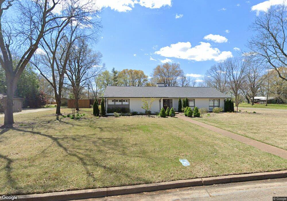
520 W Cooper Ave West Memphis, AR 72301
Estimated Value: $338,000 - $740,621
4
Beds
5
Baths
4,000
Sq Ft
$133/Sq Ft
Est. Value
About This Home
This home is located at 520 W Cooper Ave, West Memphis, AR 72301 and is currently estimated at $530,905, approximately $132 per square foot. 520 W Cooper Ave is a home located in Crittenden County with nearby schools including Bragg Elementary School, West Junior High School, and The Academies of West Memphis Charter School.
Ownership History
Date
Name
Owned For
Owner Type
Purchase Details
Closed on
May 12, 2023
Sold by
Dinolfo Sandra Gail
Bought by
Mann Chelsea
Current Estimated Value
Purchase Details
Closed on
May 3, 2021
Sold by
Jamison Zachary Allen and Jamison Kara
Bought by
Crisp Real Estate Llc
Purchase Details
Closed on
Jul 10, 2019
Sold by
Briggs Kindale and Briggs Sterling
Bought by
Allen Zachary Zachary and Jamison Kara
Home Financials for this Owner
Home Financials are based on the most recent Mortgage that was taken out on this home.
Original Mortgage
$320,000
Interest Rate
3.82%
Mortgage Type
New Conventional
Purchase Details
Closed on
Jul 12, 2012
Sold by
Carter James Roland
Bought by
Briggs Kindale
Purchase Details
Closed on
Dec 5, 2005
Sold by
Keyes Nancy L
Bought by
Carter James Roland
Purchase Details
Closed on
Nov 5, 2005
Sold by
Not Provided
Bought by
Carter James Roland
Create a Home Valuation Report for This Property
The Home Valuation Report is an in-depth analysis detailing your home's value as well as a comparison with similar homes in the area
Home Values in the Area
Average Home Value in this Area
Purchase History
| Date | Buyer | Sale Price | Title Company |
|---|---|---|---|
| Mann Chelsea | $55,000 | None Listed On Document | |
| Crisp Real Estate Llc | $638,500 | Cowling Title | |
| Allen Zachary Zachary | $400,000 | None Available | |
| Briggs Kindale | -- | -- | |
| Carter James Roland | -- | -- | |
| Carter James Roland | $320,000 | -- |
Source: Public Records
Mortgage History
| Date | Status | Borrower | Loan Amount |
|---|---|---|---|
| Previous Owner | Allen Zachary Zachary | $320,000 |
Source: Public Records
Tax History Compared to Growth
Tax History
| Year | Tax Paid | Tax Assessment Tax Assessment Total Assessment is a certain percentage of the fair market value that is determined by local assessors to be the total taxable value of land and additions on the property. | Land | Improvement |
|---|---|---|---|---|
| 2024 | $3,341 | $69,740 | $6,800 | $62,940 |
| 2023 | $3,341 | $69,740 | $6,800 | $62,940 |
| 2022 | $3,341 | $69,740 | $6,800 | $62,940 |
| 2021 | $2,966 | $69,740 | $6,800 | $62,940 |
| 2020 | $3,159 | $69,740 | $6,800 | $62,940 |
| 2019 | $1,864 | $49,310 | $10,800 | $38,510 |
| 2018 | $1,644 | $49,310 | $10,800 | $38,510 |
| 2017 | $1,644 | $49,310 | $10,800 | $38,510 |
| 2016 | $1,884 | $49,310 | $10,800 | $38,510 |
| 2015 | $1,664 | $49,310 | $10,800 | $38,510 |
| 2014 | $1,751 | $51,440 | $10,800 | $40,640 |
Source: Public Records
Map
Nearby Homes
- 501 W Cooper Ave
- 503 W Oliver Ave
- 607 W Barton Ave
- 323 W Oliver Ave
- 413 Gibson Ave
- 307 W Cooper Ave
- 807 W Barton Ave
- 1009 Spears St
- 235 W Barton Ave
- 223 W Oliver Ave
- 221 W Barton Ave
- 216 Roosevelt Ave
- 512 Lois Marie Cove
- 522 Lois Marie Cove
- 215 W Oliver Ave
- 232 Ross Ave
- 823 S Roselawn Dr
- 451 S Roselawn Dr
- 302 Georgetown Dr
- 909 Rosewood Dr
- 516 W Cooper Ave
- 523 W Cooper Ave
- 519 W Cooper Ave
- 510 W Cooper Ave
- 515 W Cooper Ave
- 511 W Danner Ave
- 511 W Cooper Ave
- 516 Roosevelt Ave
- 518 Roosevelt Ave
- 600 Roosevelt Ave
- 520 W Danner Ave
- 505 W Danner Ave
- 514 Roosevelt Ave
- 505 W Cooper Ave
- 516 W Danner Ave
- 510 Roosevelt Ave
- 510 W Danner Ave
- 501 W Danner Ave
- 500 W Cooper Ave
- 506 Roosevelt Ave