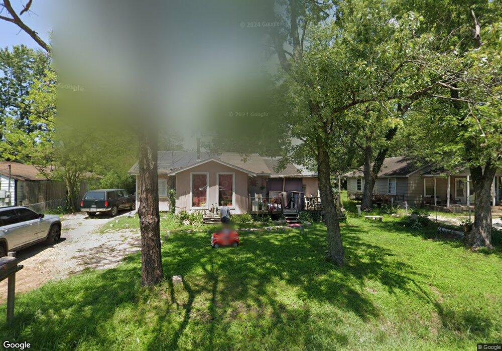
520 W Forrest St Jonesboro, AR 72401
Estimated Value: $65,051 - $203,000
--
Bed
1
Bath
1,150
Sq Ft
$92/Sq Ft
Est. Value
About This Home
This home is located at 520 W Forrest St, Jonesboro, AR 72401 and is currently estimated at $105,763, approximately $91 per square foot. 520 W Forrest St is a home located in Craighead County with nearby schools including Annie Camp Junior High School, The Academies at Jonesboro High School, and Montessori School of Jonesboro.
Ownership History
Date
Name
Owned For
Owner Type
Purchase Details
Closed on
Oct 23, 2014
Sold by
Ishmael S Paul H
Bought by
Ishmael Laura L
Current Estimated Value
Purchase Details
Closed on
Dec 30, 2011
Sold by
Russell Jerry
Bought by
Russell Sherry
Purchase Details
Closed on
Jul 29, 2003
Bought by
Russell
Purchase Details
Closed on
Oct 20, 1998
Bought by
Russell
Purchase Details
Closed on
Sep 30, 1998
Bought by
Russell
Purchase Details
Closed on
May 5, 1995
Bought by
Russell
Create a Home Valuation Report for This Property
The Home Valuation Report is an in-depth analysis detailing your home's value as well as a comparison with similar homes in the area
Home Values in the Area
Average Home Value in this Area
Purchase History
| Date | Buyer | Sale Price | Title Company |
|---|---|---|---|
| Ishmael Laura L | -- | -- | |
| Russell Sherry | -- | None Available | |
| Russell | -- | -- | |
| Russell | $20,000 | -- | |
| Russell | -- | -- | |
| Russell | -- | -- |
Source: Public Records
Tax History Compared to Growth
Tax History
| Year | Tax Paid | Tax Assessment Tax Assessment Total Assessment is a certain percentage of the fair market value that is determined by local assessors to be the total taxable value of land and additions on the property. | Land | Improvement |
|---|---|---|---|---|
| 2025 | $241 | $6,962 | $400 | $6,562 |
| 2024 | $241 | $6,962 | $400 | $6,562 |
| 2023 | $231 | $6,962 | $400 | $6,562 |
| 2022 | $220 | $6,962 | $400 | $6,562 |
| 2021 | $202 | $6,230 | $400 | $5,830 |
| 2020 | $263 | $6,230 | $400 | $5,830 |
| 2019 | $195 | $6,230 | $400 | $5,830 |
| 2018 | $187 | $6,230 | $400 | $5,830 |
| 2017 | $179 | $6,230 | $400 | $5,830 |
| 2016 | $152 | $3,590 | $400 | $3,190 |
| 2015 | $152 | $3,590 | $400 | $3,190 |
| 2014 | $152 | $3,590 | $400 | $3,190 |
Source: Public Records
Map
Nearby Homes
- 518 W Forrest St
- 522 W Forrest St
- 512 W Forrest St
- 615 Bradley St
- 613 Bradley St
- 524 W Forrest St
- 0 Cr 730 Unit 20036696
- 0 Cr 730 Unit 22024039
- 617 Bradley St
- 611 Bradley St
- 609 Bradley St
- 619 Bradley St
- 525 W Forrest St
- 511 W Forrest St
- 509 W Forrest St
- 526 W Woodrow St
- 801 Gwen St
- 620 Bradley St
- 604 Bradley St
- N Bradley