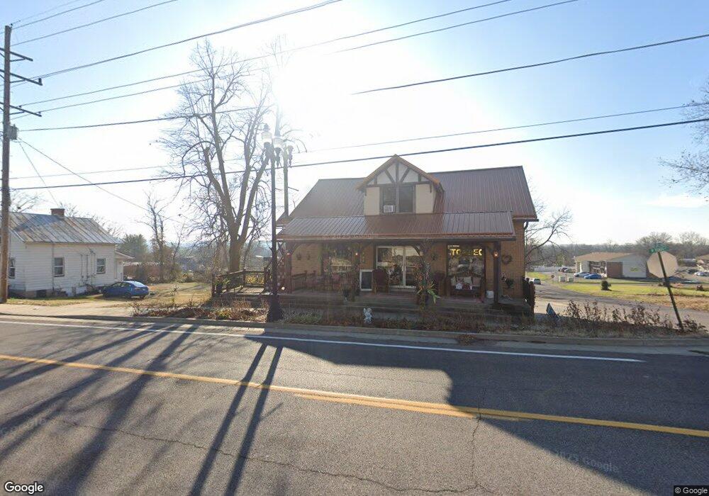
520 W Osage St Pacific, MO 63069
Estimated Value: $190,000 - $247,000
--
Bed
--
Bath
2,040
Sq Ft
$110/Sq Ft
Est. Value
About This Home
This home is located at 520 W Osage St, Pacific, MO 63069 and is currently estimated at $223,515, approximately $109 per square foot. 520 W Osage St is a home located in Franklin County with nearby schools including Pacific High School and St Bridget Elementary School.
Ownership History
Date
Name
Owned For
Owner Type
Purchase Details
Closed on
Aug 1, 2017
Sold by
Bw Real Estate Llc
Bought by
Kassman Bobbie A
Current Estimated Value
Purchase Details
Closed on
Jun 13, 2016
Sold by
Washington
Bought by
Bw Real Estate Llc
Purchase Details
Closed on
Aug 17, 2015
Sold by
Schutte James and Davis Judith
Bought by
Bank Of Franklin County
Purchase Details
Closed on
Feb 26, 2010
Sold by
Holderle Kethi
Bought by
Us Bank National Association Nd
Purchase Details
Closed on
Feb 4, 2005
Sold by
Brudick Louis E
Bought by
Gray Summit Realty & Development Inc
Create a Home Valuation Report for This Property
The Home Valuation Report is an in-depth analysis detailing your home's value as well as a comparison with similar homes in the area
Home Values in the Area
Average Home Value in this Area
Purchase History
| Date | Buyer | Sale Price | Title Company |
|---|---|---|---|
| Kassman Bobbie A | $90,500 | -- | |
| Bw Real Estate Llc | $110,000 | -- | |
| Bank Of Franklin County | -- | -- | |
| Us Bank National Association Nd | $87,200 | None Available | |
| Gray Summit Realty & Development Inc | -- | None Available |
Source: Public Records
Tax History Compared to Growth
Tax History
| Year | Tax Paid | Tax Assessment Tax Assessment Total Assessment is a certain percentage of the fair market value that is determined by local assessors to be the total taxable value of land and additions on the property. | Land | Improvement |
|---|---|---|---|---|
| 2024 | $3,744 | $46,618 | $0 | $0 |
| 2023 | $3,744 | $46,618 | $0 | $0 |
| 2022 | $2,966 | $39,981 | $0 | $0 |
| 2021 | $2,953 | $39,981 | $0 | $0 |
| 2020 | $2,766 | $37,421 | $0 | $0 |
| 2019 | $2,763 | $37,421 | $0 | $0 |
| 2018 | $2,529 | $33,600 | $0 | $0 |
| 2017 | $2,513 | $33,600 | $0 | $0 |
| 2016 | $2,547 | $33,738 | $0 | $0 |
| 2015 | $2,482 | $33,738 | $0 | $0 |
| 2014 | $2,600 | $35,914 | $0 | $0 |
Source: Public Records
Map
Nearby Homes
- 0 N 6th St Unit MAR24075265
- 0 Highland St
- 0 Pacific Estates Dr Unit MAR25014960
- 222 W Saint Louis St
- 601 N Monroe St Unit 9
- 500 W Pacific St
- 613 N Monroe St Unit 7
- 422 N Columbus St
- 0 E Park St Unit MIS25062036
- 311 E Walnut St
- 519 N Elm St
- 412 E Frisco St
- 1505 Cypress Dr
- 1718 Highway N
- 1503 Peach Tree Ln
- 1576 Westlake Cir
- 1009 Westlake Village Dr
- 1704 Lake Meade Dr
- 179 Apache Dr
- 60 Cedar Brook Dr