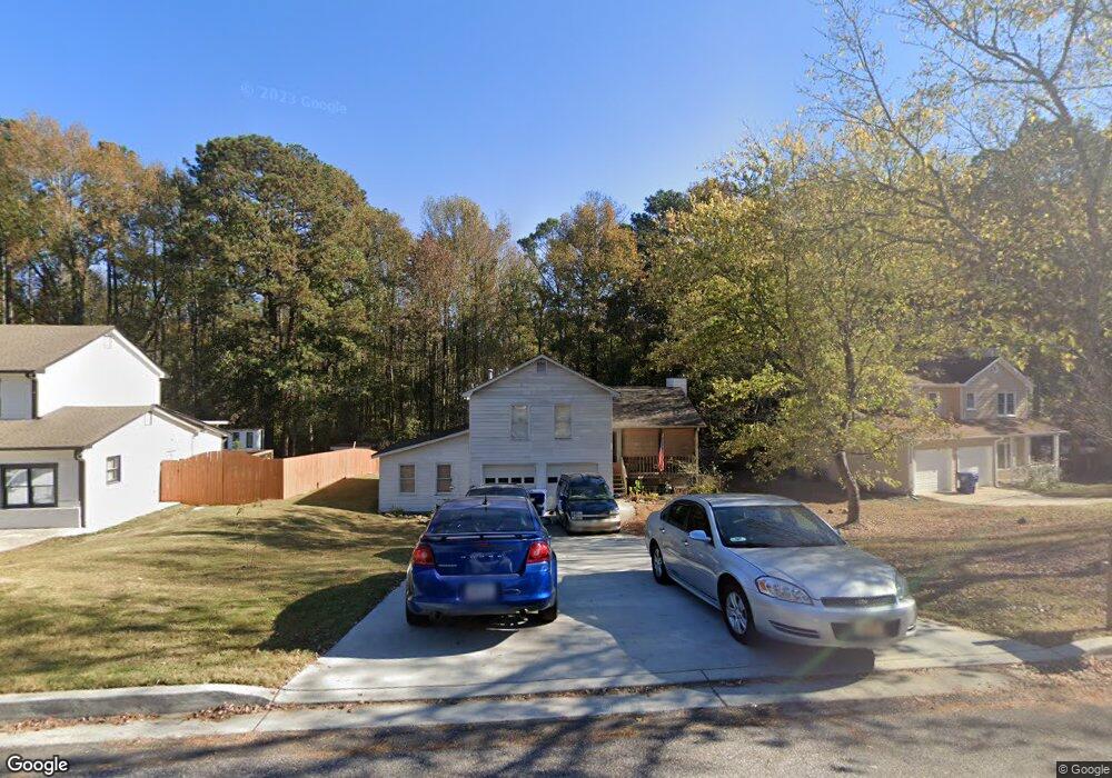
520 Wayside Dr Unit 2 Lawrenceville, GA 30046
Estimated Value: $306,000 - $337,000
3
Beds
2
Baths
1,312
Sq Ft
$244/Sq Ft
Est. Value
About This Home
This home is located at 520 Wayside Dr Unit 2, Lawrenceville, GA 30046 and is currently estimated at $319,846, approximately $243 per square foot. 520 Wayside Dr Unit 2 is a home located in Gwinnett County with nearby schools including Simonton Elementary School, Jordan Middle School, and Central Gwinnett High School.
Ownership History
Date
Name
Owned For
Owner Type
Purchase Details
Closed on
Oct 24, 2003
Sold by
Sofet Joseph J
Bought by
Truncer Margaet
Current Estimated Value
Home Financials for this Owner
Home Financials are based on the most recent Mortgage that was taken out on this home.
Original Mortgage
$75,705
Outstanding Balance
$28,072
Interest Rate
3.25%
Mortgage Type
New Conventional
Estimated Equity
$291,774
Purchase Details
Closed on
Aug 20, 1996
Sold by
White Bradley F
Bought by
Sofet Joseph T
Create a Home Valuation Report for This Property
The Home Valuation Report is an in-depth analysis detailing your home's value as well as a comparison with similar homes in the area
Home Values in the Area
Average Home Value in this Area
Purchase History
| Date | Buyer | Sale Price | Title Company |
|---|---|---|---|
| Truncer Margaet | $73,500 | -- | |
| Sofet Joseph T | $73,500 | -- |
Source: Public Records
Mortgage History
| Date | Status | Borrower | Loan Amount |
|---|---|---|---|
| Open | Truncer Margaet | $75,705 | |
| Closed | Sofet Joseph T | $0 |
Source: Public Records
Tax History Compared to Growth
Tax History
| Year | Tax Paid | Tax Assessment Tax Assessment Total Assessment is a certain percentage of the fair market value that is determined by local assessors to be the total taxable value of land and additions on the property. | Land | Improvement |
|---|---|---|---|---|
| 2024 | $356 | $125,960 | $24,400 | $101,560 |
| 2023 | $356 | $130,440 | $24,400 | $106,040 |
| 2022 | $356 | $114,280 | $21,200 | $93,080 |
| 2021 | $356 | $75,840 | $13,600 | $62,240 |
| 2020 | $504 | $68,360 | $13,600 | $54,760 |
| 2019 | $493 | $63,880 | $13,600 | $50,280 |
| 2018 | $425 | $59,680 | $12,000 | $47,680 |
| 2016 | $419 | $53,640 | $10,400 | $43,240 |
| 2015 | $291 | $32,440 | $8,000 | $24,440 |
| 2014 | $296 | $32,440 | $8,000 | $24,440 |
Source: Public Records
Map
Nearby Homes
- 241 Summer Pond Trail
- 101 Summer Pond Trail
- 308 Paper Woods Dr
- 344 Springbottom Ct
- 86 Hickory Grove Ave
- 494 Saddle Shoal Trail
- 51 Ezzard St
- 1045 Paper Creek Dr
- 688 Saffron Blvd
- 395 Paper Mill Dr Unit 1
- 340 Windsor Brook Ln Unit 3
- 248 Springbottom Dr
- 455 Saddle Bow Dr
- 1076 Allspice Way
- 364 Springhaven Way
- 239 Ryston Way
- 605 Saddle Shoals Dr
- 510 Wayside Dr Unit 2
- 530 Wayside Dr Unit 46
- 530 Wayside Dr
- 530 Wayside Dr Unit 2
- 500 Wayside Dr
- 540 Wayside Dr Unit 2
- 525 Wayside Dr
- 231 Harlee Ln
- 490 Wayside Dr
- 550 Wayside Dr
- 560 Wayside Dr
- 0 Harlee Ln Unit 8716491
- 0 Harlee Ln Unit 8228444
- 585 Wayside Dr
- 221 Harlee Ln
- 570 Wayside Dr
- 2070 Darrel Ln Unit 2
- 2080 Darrel Ln
- 580 Wayside Dr
- 475 Wayside Dr