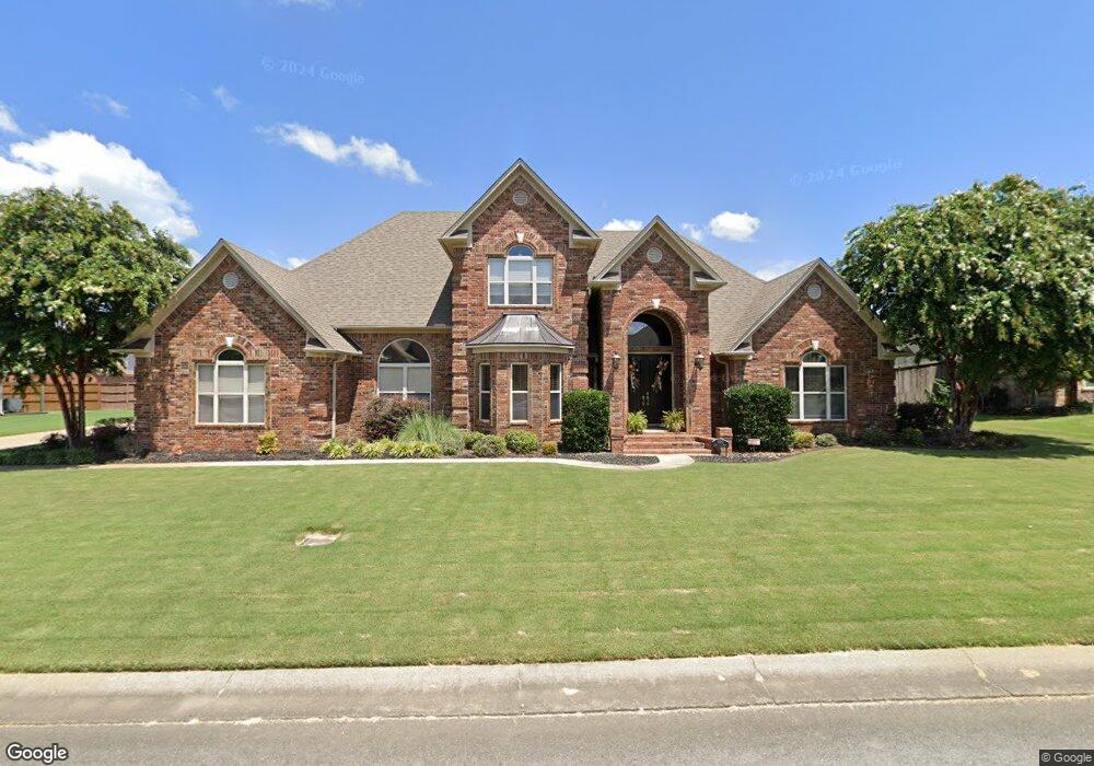
5200 Burnt Pine Conway, AR 72034
Estimated Value: $630,686 - $663,000
Studio
3
Baths
3,633
Sq Ft
$177/Sq Ft
Est. Value
About This Home
This home is located at 5200 Burnt Pine, Conway, AR 72034 and is currently estimated at $642,922, approximately $176 per square foot. 5200 Burnt Pine is a home located in Faulkner County with nearby schools including Woodrow Cummins Elementary School, Ruth Doyle Intermediate School, and Conway Junior High School.
Ownership History
Date
Name
Owned For
Owner Type
Purchase Details
Closed on
Mar 17, 2005
Bought by
Harvey
Current Estimated Value
Home Financials for this Owner
Home Financials are based on the most recent Mortgage that was taken out on this home.
Original Mortgage
$340,800
Interest Rate
5.66%
Mortgage Type
Construction
Purchase Details
Closed on
Mar 15, 2005
Sold by
Rush Hal Development Llc
Bought by
Harvey Todd M and Harvey Misti C
Home Financials for this Owner
Home Financials are based on the most recent Mortgage that was taken out on this home.
Original Mortgage
$340,800
Interest Rate
5.66%
Mortgage Type
Construction
Create a Home Valuation Report for This Property
The Home Valuation Report is an in-depth analysis detailing your home's value as well as a comparison with similar homes in the area
Home Values in the Area
Average Home Value in this Area
Purchase History
| Date | Buyer | Sale Price | Title Company |
|---|---|---|---|
| Harvey | $55,000 | -- | |
| Harvey Todd M | $55,000 | None Available |
Source: Public Records
Mortgage History
| Date | Status | Borrower | Loan Amount |
|---|---|---|---|
| Closed | Harvey Todd M | $340,800 |
Source: Public Records
Tax History
| Year | Tax Paid | Tax Assessment Tax Assessment Total Assessment is a certain percentage of the fair market value that is determined by local assessors to be the total taxable value of land and additions on the property. | Land | Improvement |
|---|---|---|---|---|
| 2025 | $5,132 | $126,560 | $9,800 | $116,760 |
| 2024 | $4,899 | $126,560 | $9,800 | $116,760 |
| 2023 | $4,666 | $95,270 | $9,800 | $85,470 |
| 2022 | $4,088 | $95,270 | $9,800 | $85,470 |
| 2021 | $3,885 | $95,270 | $9,800 | $85,470 |
| 2020 | $3,682 | $80,180 | $9,800 | $70,380 |
| 2019 | $3,682 | $80,180 | $9,800 | $70,380 |
| 2018 | $3,707 | $80,180 | $9,800 | $70,380 |
| 2017 | $3,707 | $80,180 | $9,800 | $70,380 |
| 2016 | $3,707 | $80,180 | $9,800 | $70,380 |
| 2015 | $4,102 | $81,070 | $8,400 | $72,670 |
| 2014 | $3,752 | $81,070 | $8,400 | $72,670 |
Source: Public Records
Map
Nearby Homes
- 5215 Bay Town
- 5090 Oakhurst Way
- 5235 Tennyson Dr
- 5415 Whistling Straits
- 1645 Nantucket Dr
- 1650 Dolphin Dr
- 1670 Dolphin Dr
- 1015 Champions Dr
- 4655 Palm Springs Cir
- 1520 Southwinds Dr
- 1760 Centennial Club Dr
- 1515 Southwinds Dr
- 1635 Southwinds Dr
- 4505 Sawgrass Cove
- 4465 Oregon Trail
- 4335 Gazebo Dr
- 760 Bristol Ln
- 4440 Oregon Trail
- 4325 Gazebo Dr
- 4655 Hawkins Dr
- 5205 Bay Town
- 5205 Burnt Pine
- 5165 Bay Town
- 5140 Burnt Pine
- 5145 Burnt Pine
- 5145 Burnt Pine
- 5145 Bay Town
- 5125 Burnt Pine
- 5150 Burnt Pine
- 5155 Burnt Pine
- 5125 Burnt Pine
- 5215 Burnt Pine
- 5135 Burnt Pine
- 0 Burnt Pine Unit 17034647
- 5135 Bay Town
- 5135 Burnt Pine
- 5225 Burnt Pine
- 5225 Burnt Pine
- 5200 Bay Town
- 5160 Bay Town
Your Personal Tour Guide
Ask me questions while you tour the home.