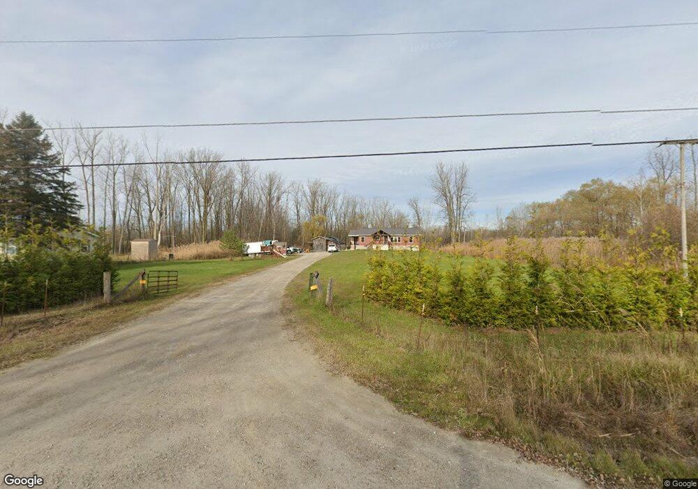
5200 Dove Rd Kimball, MI 48074
Estimated Value: $293,000 - $350,379
3
Beds
2
Baths
1,440
Sq Ft
$218/Sq Ft
Est. Value
About This Home
This home is located at 5200 Dove Rd, Kimball, MI 48074 and is currently estimated at $314,126, approximately $218 per square foot. 5200 Dove Rd is a home located in St. Clair County with nearby schools including Kimball Elementary School, Central Middle School, and Port Huron High School.
Ownership History
Date
Name
Owned For
Owner Type
Purchase Details
Closed on
Dec 13, 2024
Sold by
Patton Shelly M and Patton Herbert A
Bought by
Patton Evan A and Patton Maria K
Current Estimated Value
Purchase Details
Closed on
Jul 20, 2022
Sold by
Patton Shelly M
Bought by
Patton Shelly M and Patton Herbert A
Purchase Details
Closed on
Nov 28, 2010
Sold by
Roach Christine M
Bought by
Patton Shelly M
Purchase Details
Closed on
Oct 16, 2008
Sold by
Haddix Curtis W and Haddix Shari L
Bought by
The Bank Of New York
Create a Home Valuation Report for This Property
The Home Valuation Report is an in-depth analysis detailing your home's value as well as a comparison with similar homes in the area
Home Values in the Area
Average Home Value in this Area
Purchase History
| Date | Buyer | Sale Price | Title Company |
|---|---|---|---|
| Patton Evan A | -- | None Listed On Document | |
| Patton Evan A | -- | None Listed On Document | |
| Patton Shelly M | -- | None Listed On Document | |
| Patton Shelly M | -- | None Available | |
| The Bank Of New York | $59,500 | None Available |
Source: Public Records
Tax History Compared to Growth
Tax History
| Year | Tax Paid | Tax Assessment Tax Assessment Total Assessment is a certain percentage of the fair market value that is determined by local assessors to be the total taxable value of land and additions on the property. | Land | Improvement |
|---|---|---|---|---|
| 2025 | $2,742 | $167,500 | $0 | $0 |
| 2024 | $1,553 | $158,200 | $0 | $0 |
| 2023 | $1,423 | $146,200 | $0 | $0 |
| 2022 | $2,449 | $128,200 | $0 | $0 |
| 2021 | $2,244 | $114,600 | $0 | $0 |
| 2020 | $2,244 | $96,400 | $96,400 | $0 |
| 2019 | $2,170 | $87,500 | $0 | $0 |
| 2018 | $2,234 | $89,400 | $0 | $0 |
| 2017 | $2,237 | $104,600 | $0 | $0 |
| 2016 | $1,284 | $104,600 | $0 | $0 |
| 2015 | -- | $101,000 | $101,000 | $0 |
| 2014 | -- | $124,200 | $124,200 | $0 |
| 2013 | -- | $64,000 | $0 | $0 |
Source: Public Records
Map
Nearby Homes
- 1604 Allen Rd
- 1701 Allen Rd
- V/L Allen
- 1091 Allen Rd
- 1979 Allen Rd
- 1830 Leland Rd
- 5510 Griswold Rd
- 1876 Morningstar Ave
- 4632 Cloverdale Ln
- 00 Range Rd
- 1405 Range Rd
- 2007 Edward Ln E
- 0 Ravenswood Rd Unit 20251017048
- 0000 Ravenswood Rd
- 2022 Edward Ln W
- 4595 Griswold Rd
- 00 Howard Rd
- 0 Allen Rd Unit 20250008597
- 0 Allen Rd Unit 20250008612
- 2047 Edward Ln E