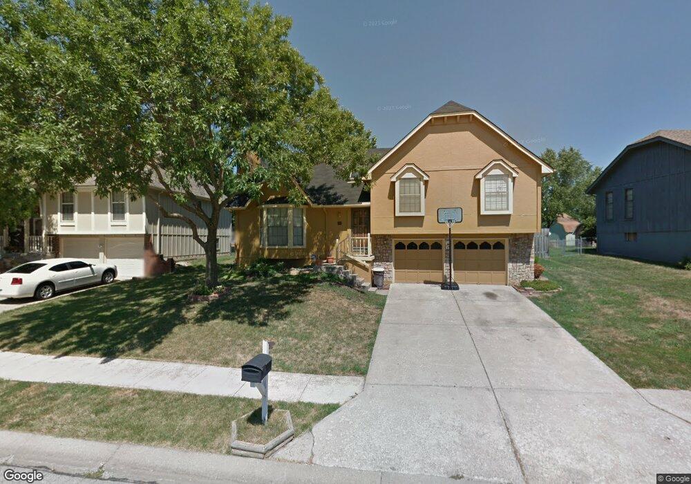
5200 Downey Ave Independence, MO 64055
Highland Manor NeighborhoodEstimated Value: $248,666 - $282,000
3
Beds
2
Baths
1,226
Sq Ft
$215/Sq Ft
Est. Value
About This Home
This home is located at 5200 Downey Ave, Independence, MO 64055 and is currently estimated at $263,917, approximately $215 per square foot. 5200 Downey Ave is a home located in Jackson County with nearby schools including William Southern Elementary School, Bridger Middle School, and Pioneer Ridge Middle School.
Ownership History
Date
Name
Owned For
Owner Type
Purchase Details
Closed on
May 28, 1999
Bought by
Larson Larry J
Current Estimated Value
Home Financials for this Owner
Home Financials are based on the most recent Mortgage that was taken out on this home.
Original Mortgage
$89,000
Outstanding Balance
$22,710
Interest Rate
6.89%
Mortgage Type
New Conventional
Estimated Equity
$241,207
Purchase Details
Closed on
Dec 26, 1997
Sold by
Mcdonald Shelly L
Bought by
Mcdonald John Steven
Create a Home Valuation Report for This Property
The Home Valuation Report is an in-depth analysis detailing your home's value as well as a comparison with similar homes in the area
Home Values in the Area
Average Home Value in this Area
Purchase History
| Date | Buyer | Sale Price | Title Company |
|---|---|---|---|
| Larson Larry J | -- | -- | |
| Mcdonald John Steven | -- | -- |
Source: Public Records
Mortgage History
| Date | Status | Borrower | Loan Amount |
|---|---|---|---|
| Open | Larson Larry J | $89,000 |
Source: Public Records
Tax History
| Year | Tax Paid | Tax Assessment Tax Assessment Total Assessment is a certain percentage of the fair market value that is determined by local assessors to be the total taxable value of land and additions on the property. | Land | Improvement |
|---|---|---|---|---|
| 2025 | $2,663 | $41,209 | $7,482 | $33,727 |
| 2024 | $2,602 | $38,437 | $6,380 | $32,057 |
| 2023 | $2,602 | $38,437 | $5,801 | $32,636 |
| 2022 | $2,302 | $31,160 | $6,422 | $24,738 |
| 2021 | $2,301 | $31,160 | $6,422 | $24,738 |
| 2020 | $2,073 | $27,283 | $6,422 | $20,861 |
| 2019 | $2,040 | $27,283 | $6,422 | $20,861 |
| 2018 | $1,709 | $21,826 | $2,745 | $19,081 |
| 2016 | $1,670 | $21,116 | $3,131 | $17,985 |
Source: Public Records
Map
Nearby Homes
- 17209 E 51st Terrace Ct S
- 17305 E 52nd St S
- 16600 E 53rd St S Unit 24
- 16524 E 53rd Terrace Ct S
- 4921 S Peck Ave
- 16521 E 53rd Terrace Ct S
- 17201 E 32nd Unit 9 St Unit 9
- 5712 NW Plantation Ln
- 5707 NW Sunrise Meadow Cir
- 5300 Lees Summit Rd
- 5924 NE Parks View Place
- 5581 NW Sunrise Meadow Ln
- 332 NE Parks Edge Dr
- 304 NE Hidden Valley Way
- 17318 E Us Highway 40
- 17105 E 45th St S
- 5821 NE Coral Dr
- 225 NE Misty Meadow Dr
- 5701 NE Coral Dr
- 17221 E 44th Terrace Ct S
- 5204 Downey Ave
- 5120 Downey Ave
- 5208 Downey Ave
- 5203 Downey Ave
- 5116 Downey Ave
- 5201 Downey Ave
- 5205 Downey Ave
- 16909 E 51st Terr Ct
- 17101 E 52nd St S
- 5207 Downey Ave
- 5119 S Peck Ave
- 17103 E 52nd St S
- 5112 Downey Ave
- 16909 E 51st Terrace Ct S
- 5203 S Peck Ave
- 5209 Downey Ave
- 16911 E 51st Terrace Ct S
- 5201 S Peck Ave
- 17100 E 52nd St S
- 5211 Downey Ave
Your Personal Tour Guide
Ask me questions while you tour the home.