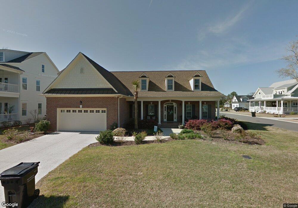
5200 Helms Port Ave Wilmington, NC 28409
Estimated Value: $1,031,386 - $1,403,000
3
Beds
3
Baths
2,217
Sq Ft
$529/Sq Ft
Est. Value
About This Home
This home is located at 5200 Helms Port Ave, Wilmington, NC 28409 and is currently estimated at $1,173,347, approximately $529 per square foot. 5200 Helms Port Ave is a home located in New Hanover County with nearby schools including Heyward C. Bellamy Elementary School, Myrtle Grove Middle School, and Eugene Ashley High School.
Ownership History
Date
Name
Owned For
Owner Type
Purchase Details
Closed on
Aug 6, 2015
Sold by
Logan Developers Inc
Bought by
Sutton Amy Lynn
Current Estimated Value
Home Financials for this Owner
Home Financials are based on the most recent Mortgage that was taken out on this home.
Original Mortgage
$252,870
Outstanding Balance
$198,405
Interest Rate
4.04%
Mortgage Type
New Conventional
Estimated Equity
$974,942
Create a Home Valuation Report for This Property
The Home Valuation Report is an in-depth analysis detailing your home's value as well as a comparison with similar homes in the area
Home Values in the Area
Average Home Value in this Area
Purchase History
| Date | Buyer | Sale Price | Title Company |
|---|---|---|---|
| Sutton Amy Lynn | $503,000 | None Available |
Source: Public Records
Mortgage History
| Date | Status | Borrower | Loan Amount |
|---|---|---|---|
| Open | Sutton Amy Lynn | $252,870 |
Source: Public Records
Tax History Compared to Growth
Tax History
| Year | Tax Paid | Tax Assessment Tax Assessment Total Assessment is a certain percentage of the fair market value that is determined by local assessors to be the total taxable value of land and additions on the property. | Land | Improvement |
|---|---|---|---|---|
| 2025 | $3,875 | $1,004,300 | $279,100 | $725,200 |
| 2023 | -- | $637,100 | $276,900 | $360,200 |
| 2022 | $0 | $637,100 | $276,900 | $360,200 |
| 2021 | $3,189 | $637,100 | $276,900 | $360,200 |
| 2020 | $3,189 | $504,200 | $198,700 | $305,500 |
| 2019 | $3,189 | $504,200 | $198,700 | $305,500 |
| 2018 | $3,189 | $504,200 | $198,700 | $305,500 |
| 2017 | $3,265 | $504,200 | $198,700 | $305,500 |
| 2016 | $2,894 | $417,600 | $175,600 | $242,000 |
Source: Public Records
Map
Nearby Homes
- 5205 Helms Port Ave
- 5010 Dockside Dr
- 5017 Dockside Dr
- 5418 Saltwater Run
- 5353 Leisure Cir
- 5014 Helms Port Ave
- 5225 Leisure Cir
- 4953 Coronado Dr
- 222 Sea Gull Ln
- 141 Southwold Dr
- 234 Brighton Rd
- 5103 Long Pointe Rd
- 273 Foxwood Ln
- 5235 Crosswinds Dr
- 301 Foxwood Ln
- 5618 Pinecone Place
- 4641 Masonboro Loop Rd
- 5004 Laurenbridge Ln
- 261 Loder Ave
- 5705 Woodduck Cir
- 5200 Helms Port Ave
- 5721 Reef Landing Way
- 5702 Reef Landing Way
- 5725 Reef Landing Way
- 5208 Helms Port Ave
- 5600 Channel Walk Ln
- 5201 Helms Port Ave
- 5706 Reef Landing Way
- 5729 Reef Landing Way
- 5209 Helms Port Ave
- 5212 Helms Port Ave
- 5710 Reef Landing Way
- 5604 Channel Walk Ln
- 5733 Reef Landing Way
- 5213 Helms Port Ave
- 5216 Helms Port Ave
- 5601 Channel Walk Ln
- 5737 Reef Landing Way
- 5307 Leisure Cir
- 5608 Channel Walk Ln