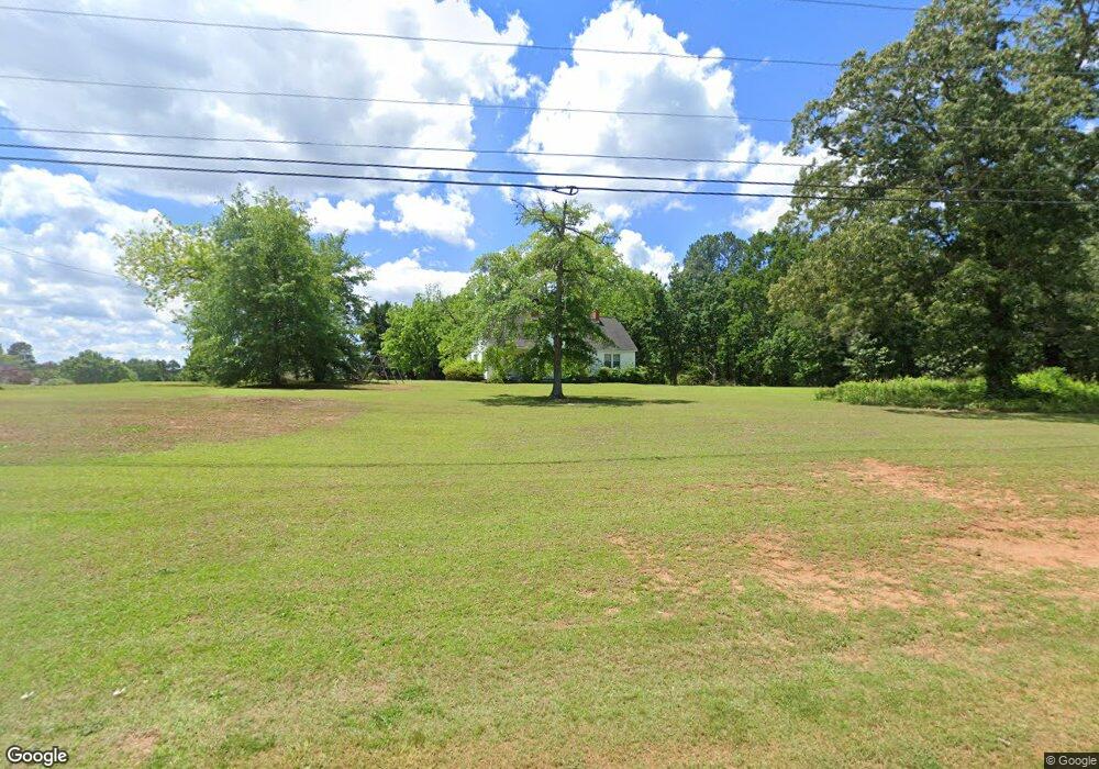
5200 Highway 42 Locust Grove, GA 30248
Estimated Value: $200,000 - $275,000
3
Beds
2
Baths
1,400
Sq Ft
$166/Sq Ft
Est. Value
About This Home
This home is located at 5200 Highway 42, Locust Grove, GA 30248 and is currently estimated at $231,835, approximately $165 per square foot. 5200 Highway 42 is a home located in Henry County with nearby schools including Locust Grove Elementary School, Locust Grove Middle School, and Locust Grove High School.
Ownership History
Date
Name
Owned For
Owner Type
Purchase Details
Closed on
Feb 18, 2004
Sold by
Carmichael Beneverly D
Bought by
Carmichael Family
Current Estimated Value
Purchase Details
Closed on
May 1, 2003
Sold by
Coley James W and Coley Heather
Bought by
Carmichael Beneverly D
Purchase Details
Closed on
Jul 3, 2000
Sold by
Coley James W and Coley Heather
Bought by
Coley James W
Home Financials for this Owner
Home Financials are based on the most recent Mortgage that was taken out on this home.
Original Mortgage
$76,125
Interest Rate
8.54%
Mortgage Type
FHA
Create a Home Valuation Report for This Property
The Home Valuation Report is an in-depth analysis detailing your home's value as well as a comparison with similar homes in the area
Home Values in the Area
Average Home Value in this Area
Purchase History
| Date | Buyer | Sale Price | Title Company |
|---|---|---|---|
| Carmichael Family | $83,500 | -- | |
| Carmichael Beneverly D | $104,000 | -- | |
| Coley James W | -- | -- |
Source: Public Records
Mortgage History
| Date | Status | Borrower | Loan Amount |
|---|---|---|---|
| Previous Owner | Coley James W | $76,125 |
Source: Public Records
Tax History Compared to Growth
Tax History
| Year | Tax Paid | Tax Assessment Tax Assessment Total Assessment is a certain percentage of the fair market value that is determined by local assessors to be the total taxable value of land and additions on the property. | Land | Improvement |
|---|---|---|---|---|
| 2025 | $3,017 | $75,320 | $16,040 | $59,280 |
| 2024 | $3,017 | $76,160 | $14,720 | $61,440 |
| 2023 | $2,839 | $72,960 | $14,200 | $58,760 |
| 2022 | $2,140 | $54,760 | $13,080 | $41,680 |
| 2021 | $1,751 | $44,600 | $11,240 | $33,360 |
| 2020 | $1,608 | $40,880 | $10,600 | $30,280 |
| 2019 | $1,502 | $38,120 | $10,040 | $28,080 |
| 2018 | $1,402 | $35,520 | $9,280 | $26,240 |
| 2016 | $1,092 | $27,440 | $7,080 | $20,360 |
| 2015 | $919 | $22,240 | $7,040 | $15,200 |
| 2014 | -- | $17,440 | $7,040 | $10,400 |
Source: Public Records
Map
Nearby Homes
- 79 Weymouth Dr
- 77 Weymouth Dr
- 63 Weymouth Dr
- 73 Weymouth Dr
- 71 Weymouth Dr
- 75 Weymouth Dr
- 69 Weymouth Dr
- Avion Plan at Bridle Creek
- Elle Plan at Bridle Creek
- 65 Weymouth Dr
- Halton Plan at Bridle Creek
- 632 Kimberwick Dr
- Mansfield Plan at Bridle Creek
- Denton Plan at Bridle Creek
- Hanover Plan at Bridle Creek
- 704 Curb Ct
- 413 Atlas Ct
- 339 San Anselmo St
- Zoey II Plan at Berkeley Lakes
- 204 Beulah Ln
- 5194 Highway 42 Unit 197
- 201 Beulah Ln
- 5194 Georgia 42
- 203 Beulah Ln
- 203 Beulah Ln Unit 2
- 206 Beulah Ln
- 205 Beulah Ln
- 5190 Highway 42 Unit 22
- 5190 Highway 42
- 208 Beulah Ln
- 207 Beulah Ln
- 116 Southridge Dr
- 210 Beulah Ln Unit 14
- 210 Beulah Ln
- 108 Southridge Dr
- 5422 Highway 42
- 334 Davis Rd
- 100 Southridge Dr
- 124 Southridge Dr