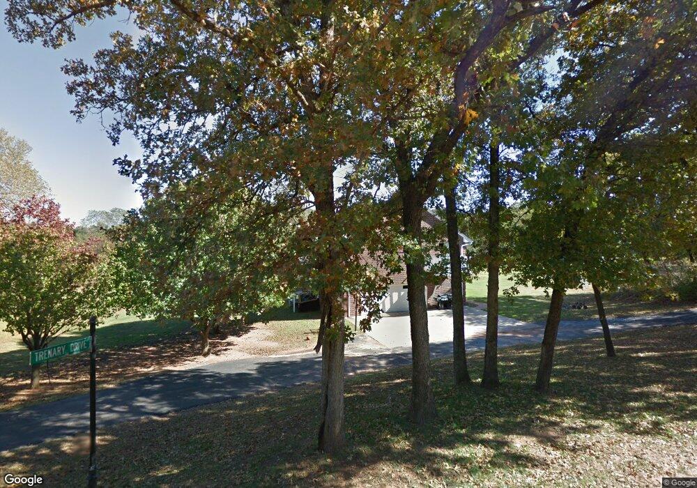
5200 Marjayoun Way Edmond, OK 73034
East Edmond NeighborhoodEstimated Value: $404,000 - $537,000
3
Beds
3
Baths
1,266
Sq Ft
$357/Sq Ft
Est. Value
About This Home
This home is located at 5200 Marjayoun Way, Edmond, OK 73034 and is currently estimated at $451,998, approximately $357 per square foot. 5200 Marjayoun Way is a home located in Oklahoma County with nearby schools including Centennial Elementary School, Central Middle School, and Memorial High School.
Ownership History
Date
Name
Owned For
Owner Type
Purchase Details
Closed on
Apr 18, 2019
Sold by
Trenary Ryan Wade
Bought by
Trenary Maria G
Current Estimated Value
Purchase Details
Closed on
Jul 20, 1999
Sold by
Samara Cary Don and Samara Samia
Bought by
Trenary Ryan Wade and Trenary Maria G
Home Financials for this Owner
Home Financials are based on the most recent Mortgage that was taken out on this home.
Original Mortgage
$121,857
Interest Rate
9.75%
Create a Home Valuation Report for This Property
The Home Valuation Report is an in-depth analysis detailing your home's value as well as a comparison with similar homes in the area
Home Values in the Area
Average Home Value in this Area
Purchase History
| Date | Buyer | Sale Price | Title Company |
|---|---|---|---|
| Trenary Maria G | -- | Chicago Title Oklahoma | |
| Trenary Ryan Wade | $18,000 | -- |
Source: Public Records
Mortgage History
| Date | Status | Borrower | Loan Amount |
|---|---|---|---|
| Closed | Trenary Ryan Wade | $121,857 |
Source: Public Records
Tax History Compared to Growth
Tax History
| Year | Tax Paid | Tax Assessment Tax Assessment Total Assessment is a certain percentage of the fair market value that is determined by local assessors to be the total taxable value of land and additions on the property. | Land | Improvement |
|---|---|---|---|---|
| 2024 | $3,226 | $32,901 | $6,566 | $26,335 |
| 2023 | $3,226 | $31,943 | $6,772 | $25,171 |
| 2022 | $3,140 | $31,012 | $7,473 | $23,539 |
| 2021 | $3,032 | $30,109 | $8,312 | $21,797 |
| 2020 | $2,976 | $29,233 | $8,196 | $21,037 |
| 2019 | $2,900 | $28,381 | $9,567 | $18,814 |
| 2018 | $2,829 | $27,555 | $0 | $0 |
| 2017 | $2,857 | $27,939 | $10,512 | $17,427 |
| 2016 | $2,857 | $27,994 | $10,512 | $17,482 |
| 2015 | $2,956 | $28,964 | $8,829 | $20,135 |
| 2014 | $2,726 | $26,824 | $8,517 | $18,307 |
Source: Public Records
Map
Nearby Homes
- 8301 Lambert Way
- 4541 Maple Ridge Dr
- 4601 Maple Ridge Dr
- 4401 Clear Ridge Corner
- 5224 Bing Cir
- 4617 Maple Ridge Dr
- 391 Old Creek Rd
- 4528 Maple Ridge Dr
- 4616 Maple Ridge Dr
- 4417 Maple Ridge Dr
- 7917 Amber Ridge Dr
- 7925 Amber Ridge Dr
- 8001 Amber Ridge Dr
- 7908 Amber Ridge Dr
- 7916 Amber Ridge Dr
- 6205 Valley Ridge Dr
- 8217 Grass Creek Dr
- 7924 Amber Ridge Dr
- 5301 Lannister Ln
- 8101 Amber Ridge Dr
- 5100 Marjayoun Way
- 7541 Midwest Ln
- 7635 Midwest Ln
- 7500 E Sorghum Mill Rd
- 7317 Midwest Ln
- 0 Covell & Midwest Unit 475452
- 7700 E Sorghum Mill Rd
- 7508 Midwest Ln
- 7121 Midwest Ln
- 7316 Midwest Ln
- 7700 Midwest Ln
- 5251 Pheasant Pointe Dr
- 7601 Sandy Ln
- 5207 Pheasant Pointe Dr
- 5303 Pheasant Pointe Dr
- 7509 Sandy Ln
- 5105 Pheasant Pointe Dr
- 7701 Sandy Ln
- 5405 Pheasant Pointe Dr
- 7725 Sandy Ln
