5200 W 1100 N-90 Unit 90 Markle, IN 46770
Estimated Value: $220,000
5
Beds
2
Baths
2,345
Sq Ft
$94/Sq Ft
Est. Value
About This Home
This home is located at 5200 W 1100 N-90 Unit 90, Markle, IN 46770 and is currently estimated at $220,000, approximately $93 per square foot. 5200 W 1100 N-90 Unit 90 is a home located in Wells County with nearby schools including Norwell High School.
Ownership History
Date
Name
Owned For
Owner Type
Purchase Details
Closed on
Oct 6, 2023
Sold by
Bolinger Mick H
Bought by
Blackwell Brianna and Blackwell Kyle
Current Estimated Value
Purchase Details
Closed on
Nov 8, 2018
Sold by
Bolinger Mick H and Bolinger Malinda J
Bought by
Bolinger Mick H
Purchase Details
Closed on
Apr 3, 2007
Sold by
Bolinger Raymond C and Bolinger Barbara
Bought by
Bolinger Mick H and Bolinger Malinda J
Purchase Details
Closed on
May 3, 1996
Sold by
Bolinger Cont W and Bolinger Mick Bolinger
Bought by
Not Provided
Create a Home Valuation Report for This Property
The Home Valuation Report is an in-depth analysis detailing your home's value as well as a comparison with similar homes in the area
Home Values in the Area
Average Home Value in this Area
Purchase History
| Date | Buyer | Sale Price | Title Company |
|---|---|---|---|
| Blackwell Brianna | -- | None Listed On Document | |
| Bolinger Mick H | -- | Liberty Title & Escrow | |
| Bolinger Mick H | -- | Liberty Title & Escrow | |
| Bolinger Mick H | $246,500 | Landamerica Lawyers Title | |
| Not Provided | $160,000 | -- |
Source: Public Records
Tax History Compared to Growth
Tax History
| Year | Tax Paid | Tax Assessment Tax Assessment Total Assessment is a certain percentage of the fair market value that is determined by local assessors to be the total taxable value of land and additions on the property. | Land | Improvement |
|---|---|---|---|---|
| 2024 | $2,408 | $199,900 | $199,900 | $0 |
| 2023 | $2,163 | $175,500 | $175,500 | $0 |
| 2022 | $1,656 | $138,500 | $138,500 | $0 |
| 2021 | $1,481 | $119,100 | $119,100 | $0 |
| 2020 | $1,453 | $118,200 | $118,200 | $0 |
| 2019 | $4,234 | $469,200 | $200,700 | $268,500 |
| 2018 | $4,270 | $448,400 | $197,900 | $250,500 |
| 2017 | $4,133 | $465,300 | $224,700 | $240,600 |
| 2016 | $4,282 | $468,600 | $236,000 | $232,600 |
| 2014 | $4,517 | $461,900 | $249,900 | $212,000 |
| 2013 | $4,096 | $434,200 | $216,300 | $217,900 |
Source: Public Records
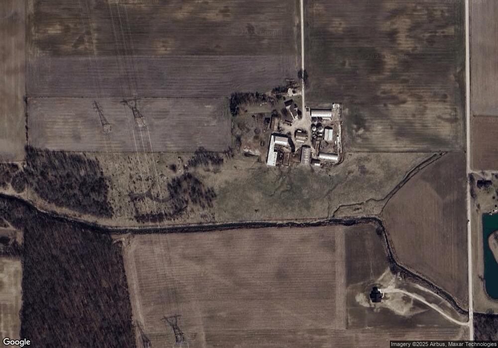
Map
Nearby Homes
- 500 W 800 N-90
- 11130 N 300 W
- 17820 N Wayne St
- TBD W Yoder Rd
- 2501 W 1100 N
- TBD W 900 N
- 10930 Yoder Rd
- 13011 Hamilton Rd
- * Ginger Rd
- 11136 N 200 W
- 2405 W 900 N
- 16902 Prine Rd
- 0 Ginger Rd
- 000 Feighner Rd
- 15855 Feighner Rd
- 9002 W Yoder Rd
- 15011 Lafayette Center Rd
- 4565 E Station Rd
- 798 N 500 E
- 11099 Carob Thorn Trail
- 5153 W 1100 N-90 Unit 90
- 10735 N 500 W-90 Unit 90
- 5367 W 1100 N-90
- 4997 W 1100 N
- 4997 W 1100 N-90
- 5367 W 1100 N
- 4901 W 1100 N-90
- 4901 W 1100 N
- 5667 W 1100 N-90 Unit 90
- 4764 W 1100 N-90 Unit 90
- 10380 N 500 W-90 Unit 90
- 11276 N 500 W-90
- 5734 W 1100 N-90 Unit 90
- 10817 N 600 W-90 Unit 90
- 10767 N 600 W-90
- 4585 W 1100 N-90 Unit 90
- 4584 W 1100 N-90 Unit 90
- 4584 W 1100 N
- 4563 W 1100 N-90 Unit 90
- 10859 N 600 W-90 Unit 90