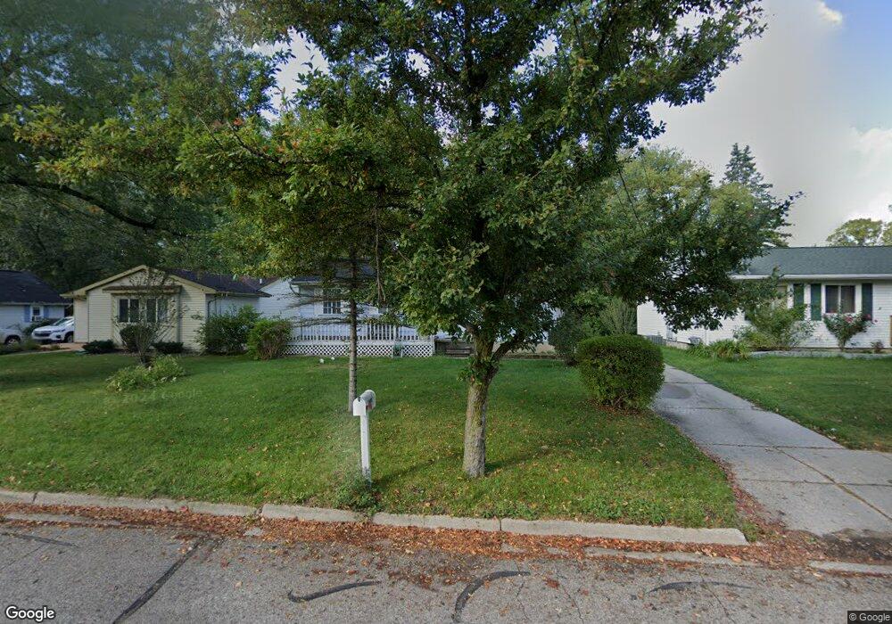
5200 Wexford Rd Lansing, MI 48911
Wexford Heights NeighborhoodEstimated Value: $117,465 - $146,000
--
Bed
--
Bath
888
Sq Ft
$151/Sq Ft
Est. Value
About This Home
This home is located at 5200 Wexford Rd, Lansing, MI 48911 and is currently estimated at $134,366, approximately $151 per square foot. 5200 Wexford Rd is a home located in Ingham County with nearby schools including Reo Elementary School, Attwood School, and Everett High School.
Ownership History
Date
Name
Owned For
Owner Type
Purchase Details
Closed on
Jun 12, 2013
Sold by
The Estateo Of Edith E Ryckman Schafer
Bought by
Ryckman Dale E and Ryckman Sherrill M
Current Estimated Value
Purchase Details
Closed on
Jun 10, 1982
Sold by
Ryckman Dale W and Ryckman Edith E
Bought by
Ryckman Edith E
Purchase Details
Closed on
Nov 29, 1978
Sold by
Joehlin William D
Bought by
Ryckman Dale W and Ryckman Edith E
Create a Home Valuation Report for This Property
The Home Valuation Report is an in-depth analysis detailing your home's value as well as a comparison with similar homes in the area
Home Values in the Area
Average Home Value in this Area
Purchase History
| Date | Buyer | Sale Price | Title Company |
|---|---|---|---|
| Ryckman Dale E | $45,000 | None Available | |
| Ryckman Edith E | -- | -- | |
| Ryckman Dale W | $38,900 | -- |
Source: Public Records
Tax History Compared to Growth
Tax History
| Year | Tax Paid | Tax Assessment Tax Assessment Total Assessment is a certain percentage of the fair market value that is determined by local assessors to be the total taxable value of land and additions on the property. | Land | Improvement |
|---|---|---|---|---|
| 2025 | $2,060 | $56,900 | $5,900 | $51,000 |
| 2024 | $16 | $42,200 | $5,900 | $36,300 |
| 2023 | $1,933 | $36,900 | $5,900 | $31,000 |
| 2022 | $1,746 | $36,400 | $3,800 | $32,600 |
| 2021 | $1,710 | $33,900 | $3,600 | $30,300 |
| 2020 | $1,699 | $32,300 | $3,600 | $28,700 |
| 2019 | $1,627 | $30,300 | $3,600 | $26,700 |
| 2018 | $1,527 | $27,000 | $3,600 | $23,400 |
| 2017 | $1,461 | $27,000 | $3,600 | $23,400 |
| 2016 | $1,397 | $26,500 | $3,600 | $22,900 |
| 2015 | $1,397 | $26,000 | $7,297 | $18,703 |
| 2014 | $1,397 | $24,200 | $11,857 | $12,343 |
Source: Public Records
Map
Nearby Homes
- 5100 Wexford Rd
- 3523 Lucie St
- 5200 Wise Rd
- 4709 Stillwell Ave
- 4809 Ballard Rd
- 4828 Ingham St
- 3115 Risdale Ave
- 3941 Glenburne Blvd
- 2416 Midwood St
- 5906 Monticello Dr
- 3814 Coachlight Common St
- 4400 Chadburne Dr
- 5830 Granary Ln
- 4245 W Jolly Rd Unit 197
- 3400 Independence Ln
- 4009 Heathgate Dr
- 4205 Glenburne Blvd
- 5330 Starr Ave
- 6050 S Waverly Rd
- 4317 Seaway Dr
- 5140 Wexford Rd
- 5136 Wexford Rd
- 5218 Wexford Rd
- 5130 Wexford Rd
- 5220 Wexford Rd
- 5131 Wexford Rd
- 5129 Wexford Rd
- 5226 Wexford Rd
- 5125 Wexford Rd
- 5230 Wexford Rd
- 5121 Wexford Rd
- 5302 Wexford Rd
- 5114 Wexford Rd
- 5117 Wexford Rd
- 3419 W Jolly Rd
- 5106 Wexford Rd
- 5113 Wexford Rd
- 3409 W Jolly Rd
- 3325 W Jolly Rd
- 5103 Wexford Rd