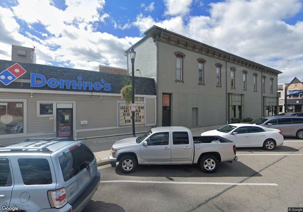
5201 Lindsey Ave Celina, OH 45822
Estimated Value: $303,000 - $440,000
3
Beds
2
Baths
1,554
Sq Ft
$222/Sq Ft
Est. Value
About This Home
This home is located at 5201 Lindsey Ave, Celina, OH 45822 and is currently estimated at $344,496, approximately $221 per square foot. 5201 Lindsey Ave is a home located in Mercer County with nearby schools including Celina Middle School, Celina High School, and Immaculate Conception School.
Ownership History
Date
Name
Owned For
Owner Type
Purchase Details
Closed on
Feb 5, 2019
Sold by
Investacorr Inc
Bought by
Westgerdes Brian J and Westgerdes Terri K
Current Estimated Value
Home Financials for this Owner
Home Financials are based on the most recent Mortgage that was taken out on this home.
Original Mortgage
$51,300
Interest Rate
4.5%
Mortgage Type
Commercial
Purchase Details
Closed on
Nov 30, 2006
Sold by
Investacorr Inc
Bought by
Westgerdes Brian J and Westgerdes Terri K
Home Financials for this Owner
Home Financials are based on the most recent Mortgage that was taken out on this home.
Original Mortgage
$126,750
Interest Rate
6.27%
Mortgage Type
New Conventional
Create a Home Valuation Report for This Property
The Home Valuation Report is an in-depth analysis detailing your home's value as well as a comparison with similar homes in the area
Home Values in the Area
Average Home Value in this Area
Purchase History
| Date | Buyer | Sale Price | Title Company |
|---|---|---|---|
| Westgerdes Brian J | $12,000 | None Available | |
| Westgerdes Brian J | $169,000 | None Available |
Source: Public Records
Mortgage History
| Date | Status | Borrower | Loan Amount |
|---|---|---|---|
| Closed | Westgerdes Brian J | $51,300 | |
| Closed | Westgerdes Brian J | $126,750 |
Source: Public Records
Tax History Compared to Growth
Tax History
| Year | Tax Paid | Tax Assessment Tax Assessment Total Assessment is a certain percentage of the fair market value that is determined by local assessors to be the total taxable value of land and additions on the property. | Land | Improvement |
|---|---|---|---|---|
| 2024 | $3,598 | $89,780 | $13,620 | $76,160 |
| 2023 | $3,598 | $89,780 | $13,620 | $76,160 |
| 2022 | $3,043 | $65,950 | $8,160 | $57,790 |
| 2021 | $3,117 | $65,950 | $8,160 | $57,790 |
| 2020 | $2,634 | $65,950 | $8,160 | $57,790 |
| 2019 | $2,505 | $58,770 | $7,350 | $51,420 |
| 2018 | $2,584 | $58,770 | $7,350 | $51,420 |
| 2017 | $2,501 | $58,770 | $7,350 | $51,420 |
| 2016 | $2,416 | $55,520 | $6,830 | $48,690 |
| 2015 | $2,453 | $57,970 | $9,280 | $48,690 |
| 2014 | $2,458 | $57,970 | $9,280 | $48,690 |
| 2013 | $2,703 | $57,970 | $9,280 | $48,690 |
Source: Public Records
Map
Nearby Homes
- 5383 U S 127
- 77 N Canal St
- 5240 Grove Dr
- 6953 State Route 219 Unit 4
- 6953 Ohio 219 Unit Lot 7
- 6942 Heron Dr
- 522 Schunk Rd
- 0 Coletta Ct Unit 24/1807 1032998
- 0 Coletta Ct Unit 23/1806 1032997
- 0 Coletta Ct Unit 21/1804 1032996
- 0 Coletta Ct Unit 16/1799 1032995
- 721 Lilac Dr
- 1024 Coletta Ct
- 402 E Elizabeth St
- 426 E Walnut St
- 5272 Prairie View Dr
- 314 E North St
- 501 N 2nd St
- 230 E Fayette St
- 515 W Fayette St
- 5211 Lindsey Ave
- 5221 Lindsey Ave
- 5231 Lindsey Ave
- 5266 St Rt 127
- 5917 Green Rd
- 5899 Green Rd
- 5296 Us Route 127
- 6080 State Route 703
- 5304 U S 127
- 5304 Us Route 127
- 7 Johnston Rd
- 8 Johnston Rd
- 6 Johnston Rd
- 4 Johnston Rd
- 3 Johnston Rd
- 2 Johnston Rd
- 5329 U S 127
- 5329 Us Route 127
- 5312 Us Route 127
- 5312 St Rte 127