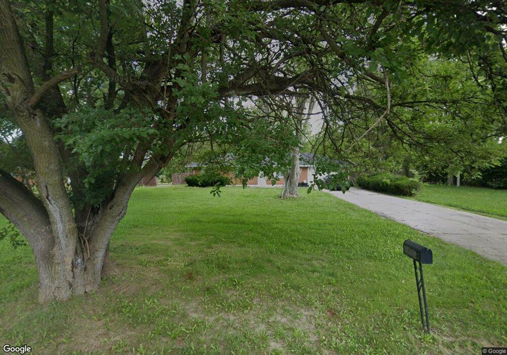
5201 Schroeder Rd Dayton, OH 45417
Estimated Value: $102,584 - $111,000
3
Beds
1
Bath
1,050
Sq Ft
$101/Sq Ft
Est. Value
About This Home
This home is located at 5201 Schroeder Rd, Dayton, OH 45417 and is currently estimated at $106,396, approximately $101 per square foot. 5201 Schroeder Rd is a home located in Montgomery County with nearby schools including Trotwood-Madison Middle School, Trotwood-Madison High School, and Imagine Klepinger Road Community School.
Ownership History
Date
Name
Owned For
Owner Type
Purchase Details
Closed on
Jul 14, 2022
Sold by
Yepez Andres Perez
Bought by
Yepez Andres Perez
Current Estimated Value
Home Financials for this Owner
Home Financials are based on the most recent Mortgage that was taken out on this home.
Original Mortgage
$76,500
Interest Rate
5.78%
Mortgage Type
New Conventional
Purchase Details
Closed on
Jul 13, 2022
Sold by
Reed Steven J
Bought by
Yepez Andres Perez
Home Financials for this Owner
Home Financials are based on the most recent Mortgage that was taken out on this home.
Original Mortgage
$76,500
Interest Rate
5.78%
Mortgage Type
New Conventional
Purchase Details
Closed on
Mar 8, 1997
Sold by
Reed Samuel L and Reed Iola
Bought by
Reed Steven J and Reed Vanessa J
Create a Home Valuation Report for This Property
The Home Valuation Report is an in-depth analysis detailing your home's value as well as a comparison with similar homes in the area
Home Values in the Area
Average Home Value in this Area
Purchase History
| Date | Buyer | Sale Price | Title Company |
|---|---|---|---|
| Yepez Andres Perez | -- | First Central Land Title | |
| Yepez Andres Perez | -- | -- | |
| Reed Steven J | $61,900 | -- |
Source: Public Records
Mortgage History
| Date | Status | Borrower | Loan Amount |
|---|---|---|---|
| Previous Owner | Yepez Andres Perez | $76,500 |
Source: Public Records
Tax History Compared to Growth
Tax History
| Year | Tax Paid | Tax Assessment Tax Assessment Total Assessment is a certain percentage of the fair market value that is determined by local assessors to be the total taxable value of land and additions on the property. | Land | Improvement |
|---|---|---|---|---|
| 2024 | $1,200 | $18,320 | $3,160 | $15,160 |
| 2023 | $1,200 | $18,320 | $3,160 | $15,160 |
| 2022 | $640 | $16,230 | $2,800 | $13,430 |
| 2021 | $641 | $16,230 | $2,800 | $13,430 |
| 2020 | $640 | $16,230 | $2,800 | $13,430 |
| 2019 | $993 | $16,140 | $2,800 | $13,340 |
| 2018 | $706 | $16,140 | $2,800 | $13,340 |
| 2017 | $701 | $16,140 | $2,800 | $13,340 |
| 2016 | $580 | $14,820 | $2,800 | $12,020 |
| 2015 | $570 | $14,820 | $2,800 | $12,020 |
| 2014 | $570 | $14,820 | $2,800 | $12,020 |
| 2012 | -- | $15,740 | $4,550 | $11,190 |
Source: Public Records
Map
Nearby Homes
- 4968 Little Richmond Rd
- 0 Larkswood Dr
- 0 Northwest Pkwy
- 4594 Guadalupe Ave
- 4610 Lotus Dr
- 4901 Gardendale Ave
- 1303 Graystone Dr
- 5038 Queens Ave
- 5116 Rucks Rd
- 4600 Gardendale Ave
- 1341 Marot Dr
- 5008 Genesee Ave
- 1833 Dewitt Dr
- 4637 Blueberry Ave
- 4900 Genesee Ave
- 5328 Whaley Dr
- 4621 Forsythe Ave
- 2015 Val Vista Ct
- 773 Goodlow Ave
- 775 Goodlow Ave
- 5249 Schroeder Rd
- 5151 Schroeder Rd
- 4944 Little Richmond Rd
- 1916 Larkswood Dr
- 1918 Larkswood Dr
- 1914 Larkswood Dr
- 1912 Larkswood Dr
- 1922 Larkswood Dr
- 1924 Larkswood Dr
- 1926 Larkswood Dr
- 1910 Larkswood Dr
- 1928 Larkswood Dr
- 4922 Little Richmond Rd
- 1930 Larkswood Dr
- 1932 Larkswood Dr
- 5212 Schroeder Rd
- 1964 Larkswood Dr
- 1962 Larkswood Dr
- 5103 Schroeder Rd
- 1960 Larkswood Dr
